
Cadereyta in Cadereyta de Montes, Querétaro, Mexico — The Central Highlands (North America)
The Temple of the Holy Solitude
Cadereyta de Montes - Pueblo Mágico
Photographed by J. Makali Bruton, September 17, 2017
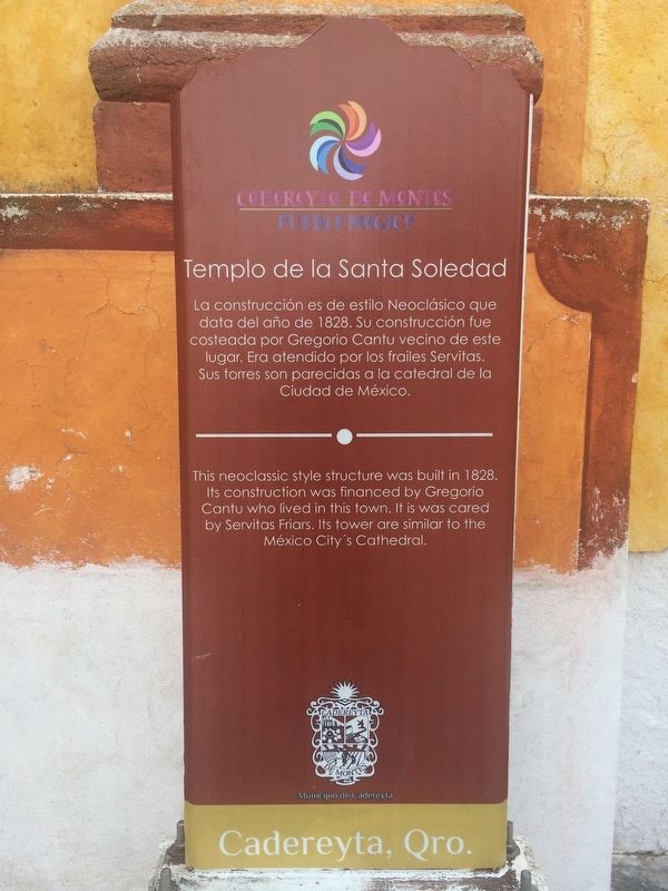
1. The Temple of the Holy Solitude Marker
La construcción es de estilo Neoclásico que data del año de 1828. Su construcción fue costeada por Gregorio Cantu vecino de este lugar. Era atendido por los frailes Servitas. Sus torres son parecidas a la catedral de la Ciudad de México.
This neoclassic style structure was built in 1828. Its construction was financed by Gregorio Cantu who lived in this town. It is was cared by Servitas Friars. Its tower are similar to the México City's Cathedral.
Erected by Municipio de Cadereyta.
Topics. This historical marker is listed in these topic lists: Charity & Public Work • Man-Made Features • Religion & Religious Structures. A significant historical year for this entry is 1828.
Location. 20° 41.662′ N, 99° 48.864′ W. Marker is in Cadereyta, Querétaro, in Cadereyta de Montes. It is on Calle Melchor Ocampo just north of Calle Miguel Hidalgo, on the right when traveling north. Touch for map. Marker is in this post office area: Cadereyta QUE 76500, Mexico. Touch for directions.

Regionally, this marker is in Central Mexico and in the Bajío. Globally, it
this page online
Other nearby markers. At least 8 other markers are within walking distance of this marker: The Temple of the Holy Ladder (a few steps from this marker); Friar Pablo de Betancur (within shouting distance of this marker); The Temple of Saints Peter and Paul (within shouting distance of this marker); Temple of the Most Pure Conception (about 150 meters away, measured in a direct line); Lope Díez de Aux de Armendáriz (about 210 meters away); The Temple of Our Lady of Refuge (approx. 0.3 kilometers away); Cadereyta’s Water Reservoir (approx. 0.4 kilometers away); Temple of San Gaspar (approx. 0.7 kilometers away). Touch for a list and map of all markers in Cadereyta.
Photographed by J. Makali Bruton, September 17, 2017
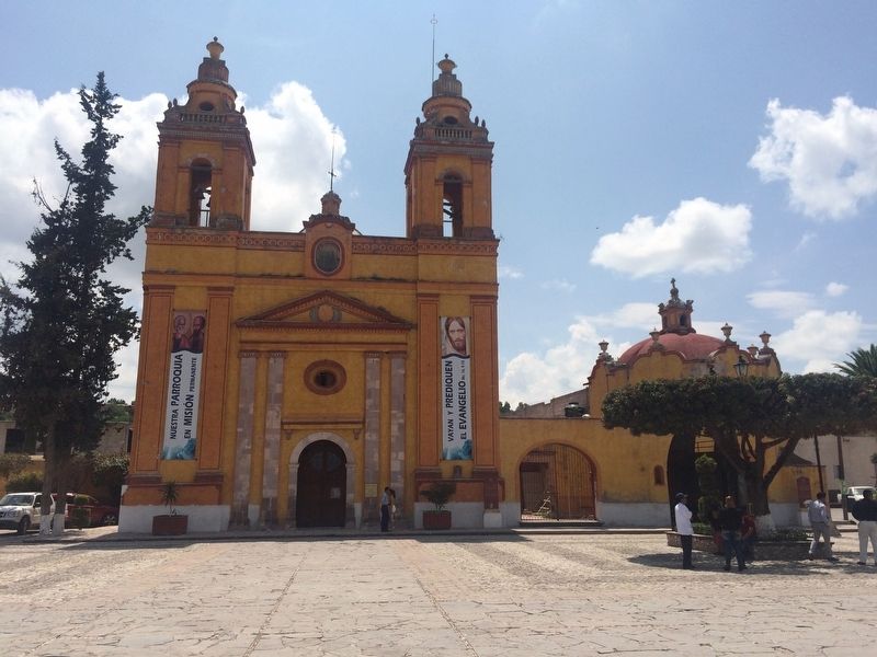
2. The Temple of the Holy Solitude Marker
The marker is to the right of the main entrance to the temple.
Photographed by J. Makali Bruton, September 17, 2017
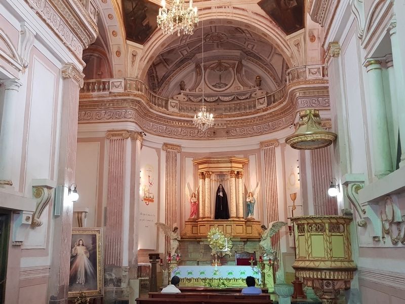
3. An interior view of The Temple of the Holy Solitude
Photographed by J. Makali Bruton, February 24, 2019
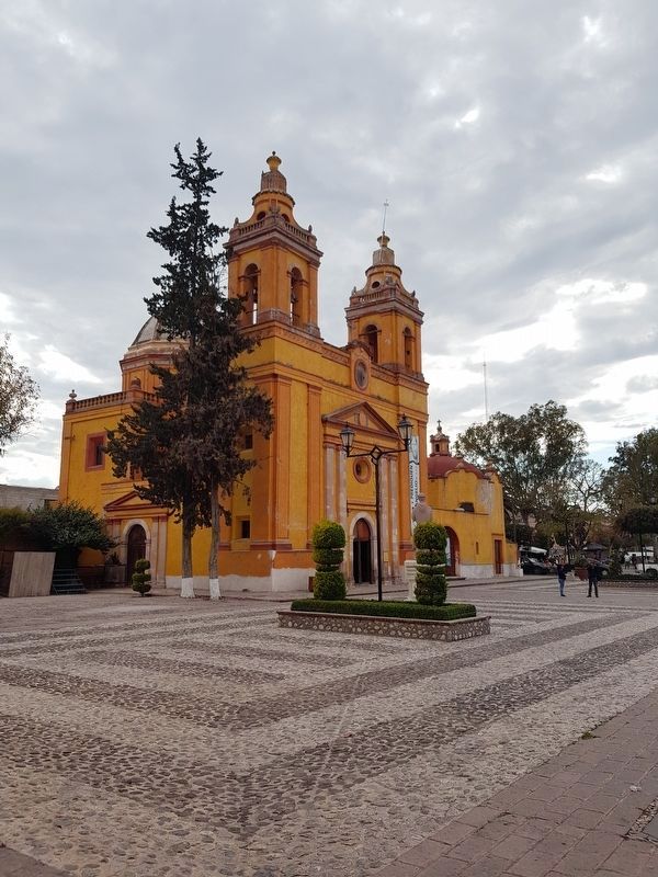
4. The Temple of the Holy Solitude
Credits. This page was last revised on March 25, 2019. It was originally submitted on September 23, 2017, by J. Makali Bruton of Washington, District of Columbia. This page has been viewed 263 times since then and 3 times this year. Photos: 1, 2, 3. submitted on September 23, 2017, by J. Makali Bruton of Washington, District of Columbia. 4. submitted on March 25, 2019, by J. Makali Bruton of Washington, District of Columbia.
