Republic of West Florida
Bicentennial
| — | 1810-2010 | — |
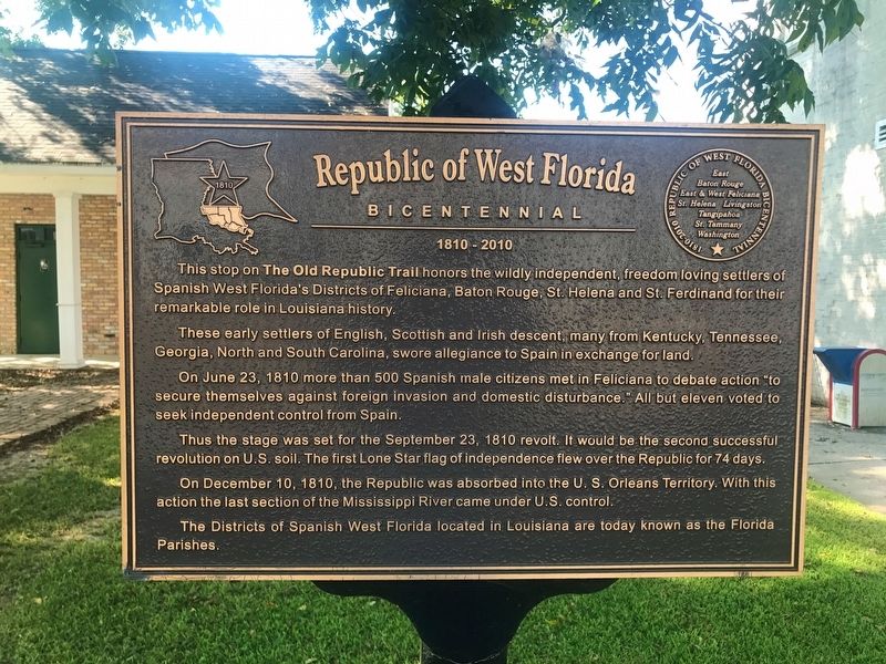
This stop on the Old Republic Trail honors the wildly independent, freedom loving settlers of Spanish West Florida's Districts of Feliciana, Baton Rouge, St. Helena and St. Ferdinand for their remarkable role in Louisiana history.
These early settlers of English, Scottish and Irish descent, many from Kentucky, Tennessee, Georgia, North and South Carolina, swore allegiance to Spain in exchange for land.
On June 23, 1810 more than 500 Spanish male citizens met in Feliciana to debate action "to secure themselves against foreign invasion and domestic disturbance." All but eleven voted to seek independent control from Spain.
Thus the stage was set for the September 23, 1810 revolt. It would be the second successful revolution on U.S. soil. The first Lone Star flag of independence flew over the Republic for 74 days.
On December 10, 1810, the Republic was absorbed into the U.S. Orleans Territory. With this action the last section of the Mississippi River came under U.S. control.
The Districts of Spanish West Florida located in Louisiana are today known as the Florida Parishes.
Topics. This historical marker is listed in these
this page online
Location. 30° 50.228′ N, 91° 12.966′ W. Marker is in Jackson, Louisiana, in East Feliciana Parish. It is on Charter Street (State Highway 10) east of Church Street, on the right when traveling east. Located next to Jackson Town Hall. Touch for map. Marker is at or near this postal address: 1610 Charter Street, Jackson LA 70748, United States of America. Touch for directions.

Regionally, this marker is in the Florida Parishes and in Greater Baton Rouge. It is also in the American South, specifically in the Deep South, and in the Great River Road Region. Globally, it is in North America, a Gulf of Mexico state, the Western Hemisphere, the Western World, and the Anglosphere. Historically, it finds itself in what was once New Spain, the territory of the Mississippian Culture, the Louisiana Purchase, one of the Confederate States of America, and the Antebellum South.
Other nearby markers. At least 8 other markers are within walking distance of this marker: Jackson (here, next to this marker);
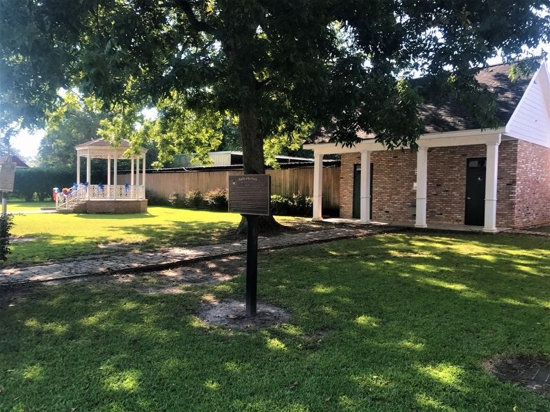
More about this marker. Located on east side, in a small courtyard, next to the Jackson Town Hall.
Credits. This page was last revised on December 23, 2022. It was originally submitted on September 24, 2017, by Cajun Scrambler of Assumption, Louisiana. This page has been viewed 717 times since then and 57 times this year. Photos: 1, 2. submitted on September 24, 2017.
