Conflict with the French
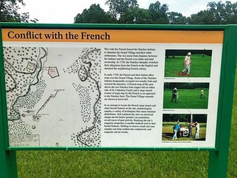
War with the French forced the Natchez Indians to abandon the Grand Village and their other settlements. The war arose from disputes between the Indians and the French over debts and land ownership. In 1729, the Natchez abruptly switched their allegiance from the French to the English and attacked the neighboring French colony.
In early 1730, the French and their Indian allies took over the Grand Village. Some of the Natchez Indians temporarily occupied two nearby forts and resisted the attackers. A French map of the area shows the two Natchez forts (upper left on either side of St. Catherine Creek) and a siege trench (center of map) dug by the French as an approach to the Natchez forts. The Grand Village mounds are shown at lower left.
In an attempt to locate the French siege trench and other buried features at the site, archaeologists employ a variety of techniques that cause minimal disturbance. Soil conductivity, how an electrical charge travels below ground, can sometimes reveal traces of past activity. Studying the site's magnetic properties is another method used to find buried features. Drilling to remove small soil core samples can help confirm the conductivity and magnetic survey results.
Topics. This historical marker is listed in these topic lists: Colonial Era • Native Americans.
Location.
Other nearby markers. At least 8 other markers are within walking distance of this marker. Historic Use of Ceremonial Mounds (a few steps from this marker); Three Archaeological Excavations (within shouting distance of this marker); Historical Archaeology - the Chief's House and Temple (within shouting distance of this marker); Road to Fort Rosalie (about 300 feet away, measured in a direct line); Native Structures (about 500 feet away); Historic Plaza (about 500 feet away); St. Catherine Creek (about 600 feet away); Ceremonial Center (about 700 feet away). Touch for a list and map of all markers in Natchez.
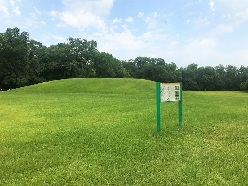
More about this marker. Located on the grounds of the Grand Village of the Natchez Historical site.
Credits. This page was last revised on September 30, 2017. It was originally submitted on September 29, 2017, by Cajun Scrambler of Assumption, Louisiana. This page has been viewed 325 times since then and 27 times this year. Photos: 1, 2. submitted on September 30, 2017.

