
Montague in Unorganized Yukon, Yukon — The Northern Territories (North America)
The Overland Trail
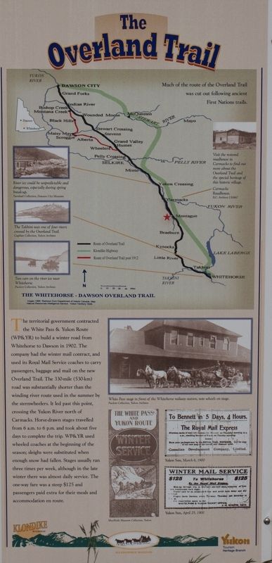
Photographed by Christopher Earle, June 28, 2011
1. The Overland Trail Marker
Erected by Yukon Tourism Heritage Branch.
Topics. This historical marker is listed in this topic list: Roads & Vehicles. A significant historical year for this entry is 1902.
Location. 61° 49.056′ N, 136° 3.478′ W. Marker is in Montague, Yukon, in Unorganized Yukon. It can be reached from Klondike Highway (Provincial Highway 2). Marker is in the ruins of the Montague Roadhouse, signed on highway and visible from highway. Touch for map. Marker is in this post office area: Montague YT Y0B 1C0, Canada. Touch for directions.

Regionally, this marker is in the Canadian North. Globally, it is in North America, on the Ring of Fire, in the Arctic, in the Western Hemisphere, and in the Western World. Historically, it finds itself in what was once a British colony.
More about this marker. Other markers at the site discuss Montague history (photos not available).
Also
this page online
Additional keywords. Klondike
Credits. This page was last revised on June 18, 2024. It was originally submitted on September 29, 2017, by Christopher Earle of Olympia, Washington. This page has been viewed 315 times since then and 24 times this year. Photo 1. submitted on September 29, 2017, by Christopher Earle of Olympia, Washington. • Andrew Ruppenstein was the editor who published this page.
Editor’s want-list for this marker. Wide shot of the marker and its surroundings • Can you help?
