
St. Gabriel in Iberville Parish, Louisiana — The American South (West South Central)
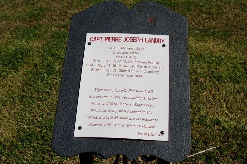
Capt. Pierre Joseph Landry
Photographed by Cajun Scrambler, February 10, 2012
1. Capt. Pierre Joseph Landry Marker
Louisiana Militia
War of 1812
Born - Jan. 9, 1770, St. Servan, France
Died - Mar. 14, 1843, Iberville Parish, Louisiana
Buried - Old St. Gabriel Church Cemetery
St. Gabriel, Louisiana
Migrated to Iberville Parish in 1785
and became a very successful plantation
owner and 19th Century Woodcarver.
Among his many works housed in the
Louisiana State Museum are his elaborate
"Wheel of Life" and a "Bust of Himself"
Gravesite Lost
Topics. This historical marker is listed in these topic lists: Colonial Era • War of 1812.
Location. 30° 15.274′ N, 91° 6.102′ W. Marker is in St. Gabriel, Louisiana, in Iberville Parish. It is on Highway 75 0.3 miles south of Highway 74. Touch for map. Marker is at or near this postal address: 3625 LA-75, Saint Gabriel LA 70776, United States of America. Touch for directions.

Regionally, this marker is in Louisiana’s River Parishes, in Acadiana — Cajun Country, and in Greater Baton Rouge. It is also in the American South, specifically in the Deep South, on the Gulf Coast, and in the Great River Road Region. Globally,
this page online
Other nearby markers. At least 8 other markers are within 5 miles of this marker, measured as the crow flies: The Old Saint Gabriel Church (within shouting distance of this marker); St - Gabriel (about 300 feet away, measured in a direct line); St. Gabriel Church (about 300 feet away); St. Raphael Cemetery (approx. one mile away); Bayou Paul Colored School (approx. 3½ miles away); A Civil War Soldier (approx. 3.8 miles away); The STAR (approx. 4.3 miles away); The Daughters of Charity (approx. 4.3 miles away). Touch for a list and map of all markers in St. Gabriel.
Also see . . .
1. Capt. Pierre Joseph Landry. Geni website entry:
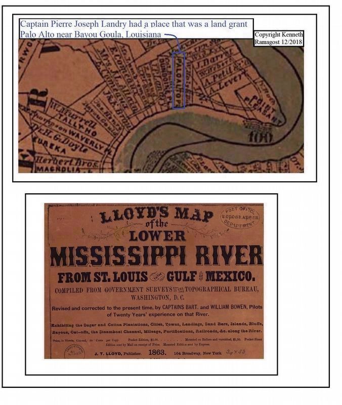
Capt. Pierre Joseph Landry had a land grant on the west bank as shown in the link. (Submitted on December 12, 2018, by Kenneth Ramagost of Louisiana, USA.)
2. Pierre Joseph Landry: Patriot, Planter, Sculptor.
Photographed by Cajun Scrambler, February 10, 2012
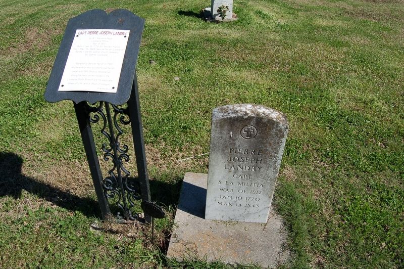
2. Capt. Pierre Joseph Landry Marker
3. Map, 1863, Mississippi River. Library of Congress website entry:
Lloyd's map of the lower Mississippi River from St. Louis to the Gulf of Mexico (Map has Palo Alto Plantation on the West Bank of the Mississippi River) (Submitted on December 13, 2018, by Kenneth Ramagost of Louisiana, USA.)
Photographed by Kenneth Ramagost, December 10, 2018
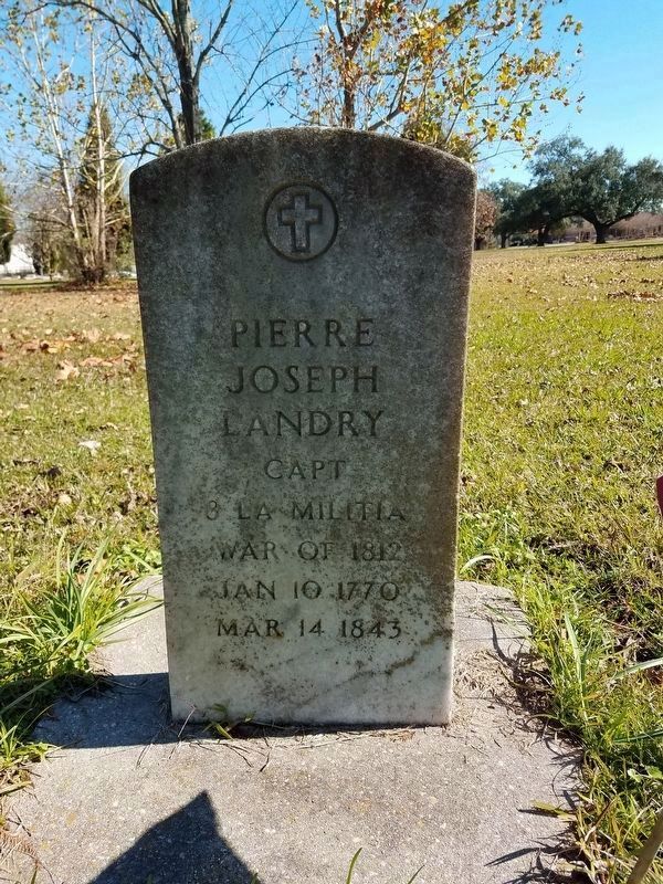
3. Capt. Pierre Joseph Landry Marker
Pierre Joseph Landry
Capt 8 Militia
War of 1812
January 10 1770
March 14 1843
Photographed by Kenneth Ramagost
4. Capt. Pierre Joseph Landry place was located on the West Bank of the Mississippi River
Capt. Pierre Joseph Landry had a place on the west bank shown in item 3, his place was named Palo Alto near Bayou Goula as shown on page 1 of item 1
Credits. This page was last revised on May 1, 2024. It was originally submitted on September 30, 2017, by Cajun Scrambler of Assumption, Louisiana. This page has been viewed 1,679 times since then and 97 times this year. Photos: 1, 2. submitted on September 30, 2017. 3. submitted on December 10, 2018, by Kenneth Ramagost of Louisiana, USA. 4. submitted on December 12, 2018, by Kenneth Ramagost of Louisiana, USA.
