Mercy Park
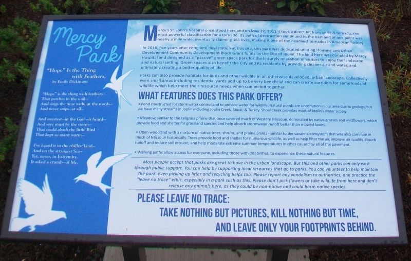
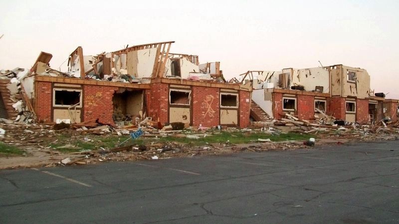
Mercy's St. John's hospital once stood here and on May 22, 2011 it took a direct hit from an EF-5 tornado, the most powerful classification for a tornado. Its path of destruction continued to the east and at one point was nearly a mile wide, eventually claiming 161 lives, making it one of the deadliest tornados [sic - tornadoes] in American history.
In 2016, five years after complete devastation at this site, this park was dedicated utilizing Housing and Urban Development Community Development Block Grant funds by the City of Joplin. The land here was donated by Mercy Hospital and designed as a "passive" green space park for the leisurely relaxation of visitors to enjoy the landscape and natural setting. Green spaces also benefit the City and its residents by providing cleaner air and water, and ultimately creating a better quality of life.
Parks can also provide habitats for birds and other wildlife in an otherwise developed, urban landscape. Collectively, even small areas including residential yards add up to be very beneficial and can create corridors for some kinds of wildlife which help meet their resource needs when connected together.
What Features Does This Park Offer?
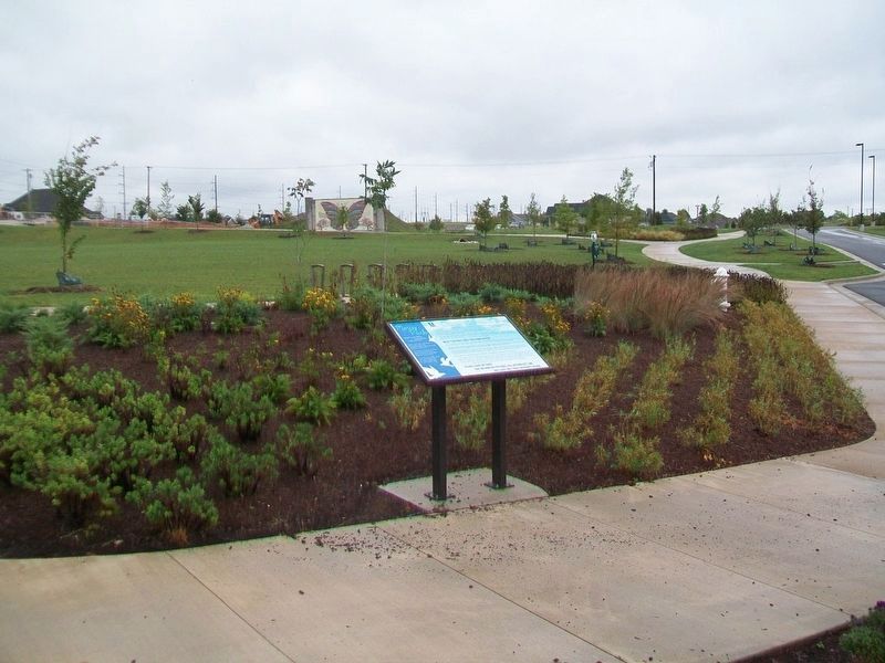
• Pond constructed for stormwater control and to provide water for wildlife. Natural ponds are uncommon in our area due to
• Meadow, similar to the tallgrass prairie that once covered much of Western Missouri, dominated by native grasses and wildflowers, which provide food and shelter for grassland species and help absorb stormwater runoff better than mowed lawns.
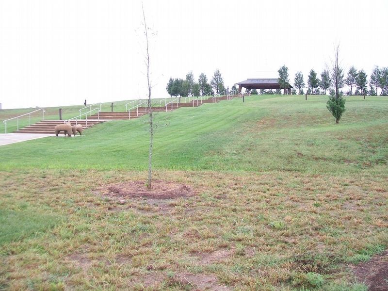
• Open woodland with a mixture of native trees, shrubs, and prairie plants - similar to the savanna ecosystem that was also common in much of Missouri historically. Trees provide food and shelter for numerous wildlife, as well as help filter the air, improve air quality, absorb runoff and reduce soil erosion, and help moderate extreme summer temperatures in cities caused by all of the pavement.
• Walking paths allow access for everyone, including those with disabilities, to experience these natural features.
"Hope" Is the Thing
with Feathers,
by Emily Dickinson
"Hope" is the thing with feathers—
That perches in the soul—
And sings the tune without the words—
And never stops—at all—
And sweetest—in the Gale—is heard—
And sore must be the storm—
That could abash the little Bird
That kept so many warm—
I've heard it in the chillest land—
And on the strangest Sea—
Yet,
It asked a crumb—of Me.
Erected 2016 by the City of Joplin.
Topics. This historical marker is listed in these topic lists: Disasters • Science & Medicine. A significant historical date for this entry is May 22, 2011.
Location. 37° 3.649′ N, 94° 31.766′ W. Marker is in Joplin, Missouri, in Jasper County. Marker is near the restrooms in Mercy Park. Touch for map. Marker is at or near this postal address: 3002 St Johns Boulevard, Joplin MO 64804, United States of America. Touch for directions.
Other nearby markers. At least 8 other markers are within walking distance of this marker. Compassion (about 600 feet away, measured in a direct line); Joplin Citizens Lost in May 22, 2011 Tornado (about 800 feet away); Proclamation of Restoration Fountain (approx. 0.2 miles away); The Miracle of the Human Spirit - Joplin 2011 (approx. 0.2 miles away); A Tribute to the Volunteers (approx. 0.2 miles away); Joplin Tornado Memorial, Volunteer Tribute and Children's Memorial (approx. 0.2 miles away); St. John's Regional Medical Center (approx. 0.2 miles away); Tornado Statistics - May 22, 2011 - Joplin, MO (approx. 0.2 miles away). Touch for a list and map of all markers in Joplin.
Also see . . .
1. Mercy Park to be dedicated on Tuesday (The Joplin Globe, Aug 4, 2016). (Submitted on October 1, 2017, by William Fischer, Jr. of Scranton, Pennsylvania.)
2. Image Showing 2011 Tornado Zone and Ruins of St. John's Hospital in foreground, now Mercy Park. (Submitted on October 1, 2017, by William Fischer, Jr. of Scranton, Pennsylvania.)
3. Damaged Joplin hospital almost the only building left standing in area (CNN, May 23, 2011). (Submitted on October 1, 2017, by William Fischer, Jr. of Scranton, Pennsylvania.)
Credits. This page was last revised on December 18, 2020. It was originally submitted on October 1, 2017, by William Fischer, Jr. of Scranton, Pennsylvania. This page has been viewed 218 times since then and 10 times this year. Photos: 1, 2, 3, 4, 5. submitted on October 1, 2017, by William Fischer, Jr. of Scranton, Pennsylvania.
