
St. John's Regional Medical Center
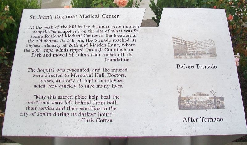
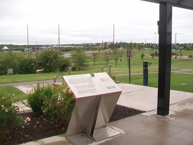
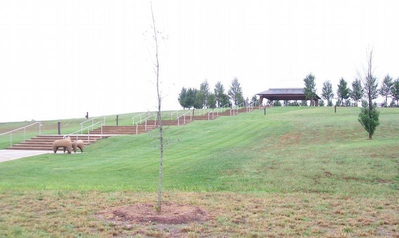
At the peak of the hill in the distance, is an outdoor chapel. The chapel sits on the sit of what was St. John's Regional Medical Center at the location of the old chapel. At 5:41 pm, the tornado reached its highest intensity at 26th and Maiden Lane, where the 200+ mph winds ripped through Cunningham Park and moved St. John's four inches off its foundation.
The hospital was evacuated, and the injured were directed to Memorial Hall. Doctors, nurses, and city of Joplin employees, acted very quickly to save many lives.
"May this sacred place help heal the emotional scars left behind from both their service and their sacrifice to the city of Joplin during its darkest hours".
— Chris Cotten
Erected by TKF Foundation and the City of Joplin.
Topics. This historical marker is listed in these topic lists: Disasters • Science & Medicine.
Location. 37° 3.831′ N, 94° 31.796′ W. Marker is in Joplin, Missouri, in Jasper County. It is on Maiden Lane north of 26th Street/Gabby Street Boulevard, on the right when traveling north. Marker is part of the Butterfly Garden
this page online

Regionally, this marker is in Southwest Missouri. It is also in the American Lewis & Clark Corridor and in the Corn Belt. Globally, it is in North America, the Western Hemisphere, the Western World, and the Anglosphere. Historically, it finds itself in what was once the territory of the Mississippian Culture, the Louisiana Purchase, and the Antebellum South.
Other nearby markers. At least 8 other markers are within walking distance of this marker: Joplin Tornado Memorial, Volunteer Tribute and Children's Memorial (here, next to this marker); Butterfly Garden and Overlook (here, next to this marker); Tornado Statistics - May 22, 2011 - Joplin, MO (here, next to this marker); Recovery Efforts: After the Storm (a few steps from this marker); Survivor Quotes (a few steps from this marker); The Butterfly People (a few steps from this marker); A Tribute to the Volunteers (within shouting distance of this marker); The Miracle of the Human Spirit - Joplin 2011 (within shouting distance
Also see . . .
1. 8 months after devastating tornado, Missouri hospital to be demolished. CNN website entry, Sat January 28, 2012:
After St. John’s took a direct hit from a catastrophic tornado May 22, it became a symbol of Joplin’s resilience, the strength and compassion of its people and their determination to rebuild. Demolition of the old hospital building – a reminder of the tragedy – will begin, and ground will be broken for a new building as Joplin moves forward. (Submitted on November 22, 2024, by Larry Gertner of New York, New York.)
2. Image Showing 2011 Tornado Zone and Ruins of St. John's Hospital in foreground, now Mercy Park. Squarespace website entry (Submitted on October 3, 2017, by William Fischer, Jr. of Reynoldsburg, Ohio.)
3. New Open Space Sacred Place Dedicated in Joplin MO. The Butterfly Garden and Overlook at Cunningham Park in Joplin, MO, is an Open Space Sacred Place where individuals may work through the pain of grieving for a loved one or something lost, conceived as a place of healing in response to
Credits. This page was last revised on November 22, 2024. It was originally submitted on October 3, 2017, by William Fischer, Jr. of Reynoldsburg, Ohio. This page has been viewed 2,572 times since then and 198 times this year. Photos: 1, 2, 3. submitted on October 3, 2017, by William Fischer, Jr. of Reynoldsburg, Ohio. 4. submitted on October 2, 2017, by William Fischer, Jr. of Reynoldsburg, Ohio.
