Near Lawton in Comanche County, Oklahoma — The American South (West South Central)
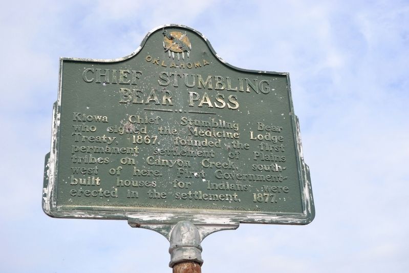
Chief Stumbling Bear Pass
Erected 1967 by Oklahoma Historical Society and State Highway Commission.
Topics and series. This historical marker is listed in these topic lists: Native Americans • Settlements & Settlers. In addition, it is included in the Oklahoma Historical Society series list. A significant historical year for this entry is 1867.
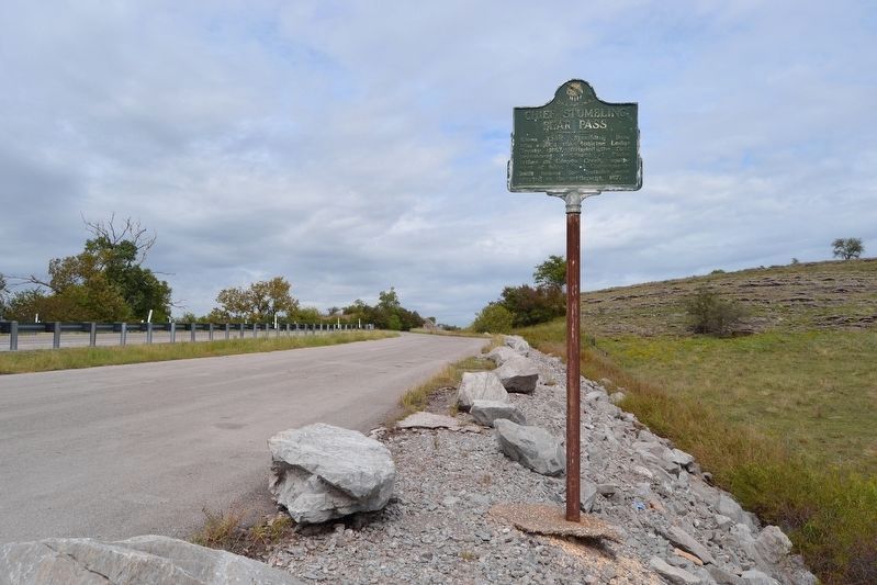
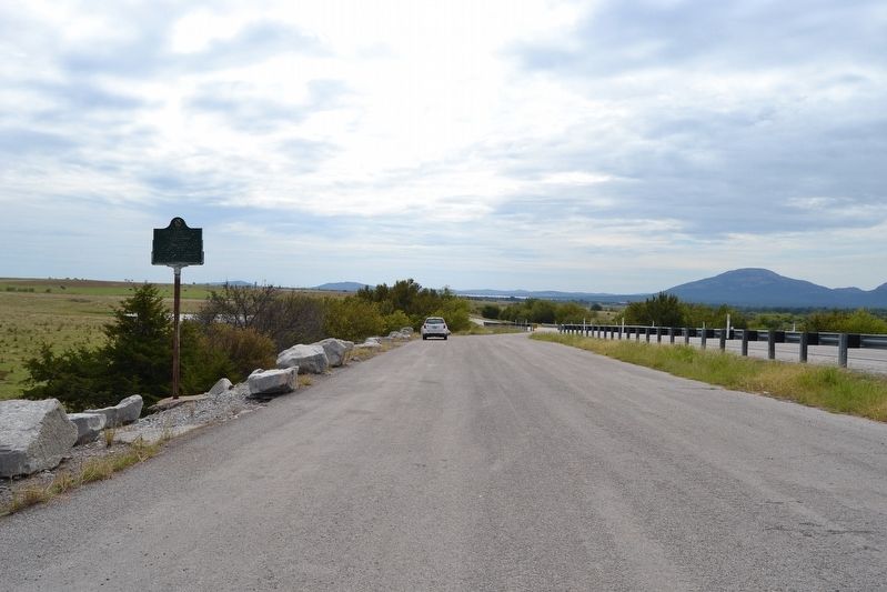
Location. 34° 48.434′ N, 98° 31.472′ W. Marker is near Lawton, Oklahoma, in Comanche County. Marker is on State Highway 58, 0.7 miles north of NW Wolf Road, on the right when traveling north. Touch for map. Marker is in this post office area: Lawton OK 73507, United States of America. Touch for directions.
Other nearby markers. At least 8 other markers are within 12 miles of this marker, measured as the crow flies. Ferguson House (approx. 7.8 miles away); The New Deal Comes to the Refuge (approx. 7.8 miles away); Historic Homesteads (approx. 7.8 miles away); Ancient Natural Refuge (approx. 7.8 miles away); The Civilian Conservation Corps and Wichita Mountains Wildlife Refuge (approx. 8.7 miles away); Cpt Riley L. Pitts (approx. 10.9 miles away); Camp Doniphan (approx. 11 miles away); Quinette Crossing (approx. 11.6 miles away). Touch for a list and map of all markers in Lawton.
Credits. This page was last revised on October 4, 2017. It was originally submitted on October 4, 2017, by Duane Hall of Abilene, Texas. This page has been viewed 384 times since then and 36 times this year. Photos: 1, 2, 3. submitted on October 4, 2017, by Duane Hall of Abilene, Texas.


