A Remarkable Feat
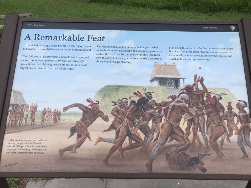
Around 800 years ago, native peoples in this region began to transform a natural hill into what we call Emerald Mound
They followed a visionary plan and built this flat-topped sacred mound over perhaps 300 years. Covering eight acres, this remarkably engineered mound is the second largest mound structure in the United States.
The large rectangular mound once held eight smaller mounds, three along each side of a long plaza plus one at each end. The Great Sun, a semi-divine chief, led from atop the largest of the eight mounds-- more than 60 feet above where you are standing.
Built along the ancient paths that became known as the Natchez Trace, Emerald Mound was an important ceremonial center for trade, ritual sporting contests, and social, political and spiritual events.
Topics. This historical marker is listed in this topic list: Indigenous Peoples and Communities.
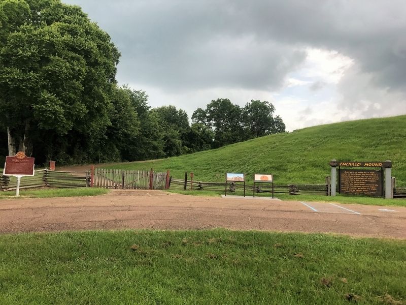
Location. 31° 38.123′ N, 91° 14.869′ W. Marker is in Stanton, Mississippi, in Adams County. It is on Emerald Mound Road one mile west of Natchez Trace Parkway, on the right when traveling west. Emerald Mound Road
this page online

Regionally, this marker is in Southwest Mississippi and in Natchez Trace Corridor. It is also in the American South, specifically in the Deep South, and in the Great River Road Region. Globally, it is in North America, a Gulf of Mexico state, the Western Hemisphere, the Western World, and the Anglosphere. Historically, it finds itself in what was once New Spain, the Viceroyalty of New France, the territory of the Mississippian Culture, one of the Confederate States of America, and the Antebellum South.
Other nearby markers. At least 8 other markers are within 2 miles of this marker, measured as the crow flies: A Well-Organized Society (here, next to this marker); Emerald Mound (a few steps from this marker); a different marker also named Emerald Mound (a few steps from this marker); Still Sacred (a few steps from this marker); One Mound Among Many (a few steps from this marker); a different marker also named Emerald Mound (within shouting
Credits. This page was last revised on July 3, 2023. It was originally submitted on October 8, 2017, by Cajun Scrambler of Assumption, Louisiana. This page has been viewed 462 times since then and 26 times this year. Photos: 1, 2. submitted on October 8, 2017.
