Hammond in Tangipahoa Parish, Louisiana — The American South (West South Central)
The Republic of West Florida
Photographed by Cajun Scrambler, October 9, 2017
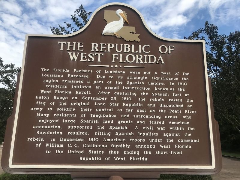
1. The Republic of West Florida Marker
The Florida Parishes of Louisiana were not a part of the Louisiana Purchase. Due to its strategic significance the region remained a part of the Spanish Empire. In 1810 residents initiated an armed insurrection known as the West Florida Revolt. After capturing the Spanish fort at Baton Rouge on September 23, 1810, the rebels raised the flag of the original Lone Star Republic and dispatched an army to solidify their control as far east as the Pearl River. Many residents of Tangipahoa and surrounding areas, who enjoyed large Spanish land grants and feared American annexation, supported the Spanish. A civil war within the Revolution resulted, pitting Spanish loyalists against the rebels. In December 1810 American troops under the command of William C.C. Claiborne forcibly annexed West Florida to the United States thus ending the short-lived Republic of West Florida.
Topics. This historical marker is listed in these topic lists: Military • Notable Events • Political Subdivisions. A significant historical date for this entry is September 23, 1810.
Location. 30° 31.168′ N, 90° 30.448′ W. Marker is in Hammond, Louisiana, in Tangipahoa
this page online

Regionally, this marker is in the Florida Parishes and in Greater New Orleans. It is also in the American South, specifically in the Deep South, and on the Gulf Coast. Globally, it is in North America, a Gulf of Mexico state, the Western Hemisphere, the Western World, and the Anglosphere. Historically, it finds itself in what was once New Spain, the territory of the Mississippian Culture, the Louisiana Purchase, one of the Confederate States of America, and the Antebellum South.
Other nearby markers. At least 8 other markers are within 5 miles of this marker, measured as the crow flies: Site of 1st Classroom Bldg. (approx. 2.4 miles away); Friendship Circle (approx. 2.4 miles away); Grace Memorial Episcopal Church (approx. 2.8 miles away); City Of Hammond (approx. 2.8 miles away); Hammond Junior College (approx. 2.8 miles away); Mt. Vernon Walnut (approx. 2.9 miles away);
Photographed by Cajun Scrambler, October 9, 2017
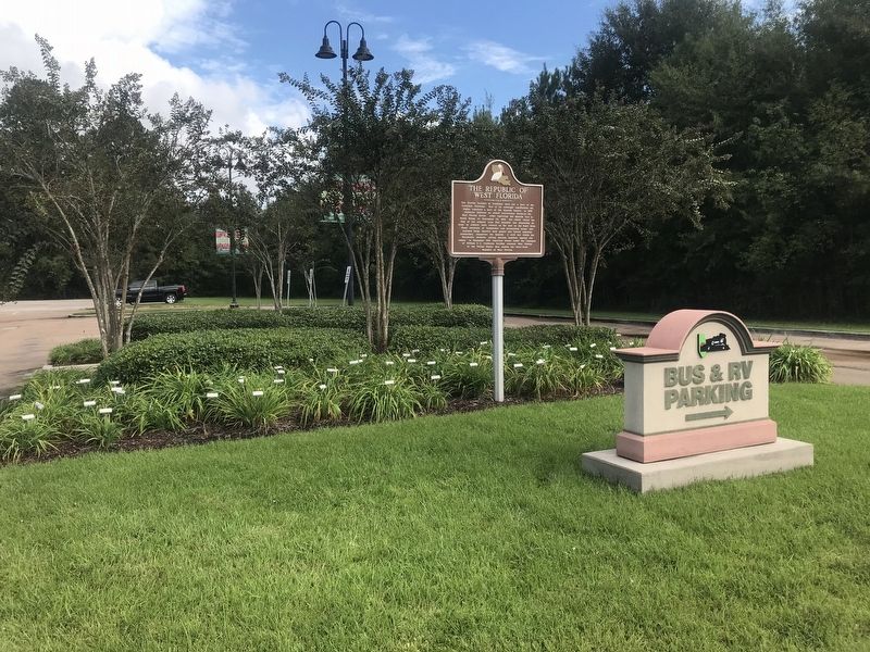
2. The Republic of West Florida Marker
Other markers no longer nearby. Cate Square (was approx. 2.8 miles away but has been confirmed missing); Peter Hammond (was approx. 3.2 miles away but has been confirmed missing).
More about this marker. Located on the grounds of the Tangipahoa Parish Convention & Visitors Bureau (Tangi Tourism), a very nice place, very helpful staff, clean and safe.
Credits. This page was last revised on August 12, 2023. It was originally submitted on October 9, 2017, by Cajun Scrambler of Assumption, Louisiana. This page has been viewed 900 times since then and 72 times this year. Photos: 1, 2. submitted on October 9, 2017.
