Near Cartersville in Bartow County, Georgia — The American South (South Atlantic)
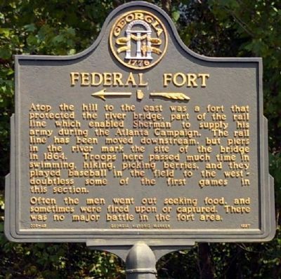
Federal Fort
Often the men went out seeking food, and sometimes were fired upon or captured. There was no major battle in the fort area.
Erected 1997 by Georgia Department of Natural Resources. (Marker Number 008-45.)
Topics and series. This historical marker is listed in these topic lists: Railroads & Streetcars • War, US Civil. In addition, it is included in the Georgia Historical Society series list. A significant historical year for this entry is 1864.
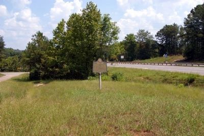
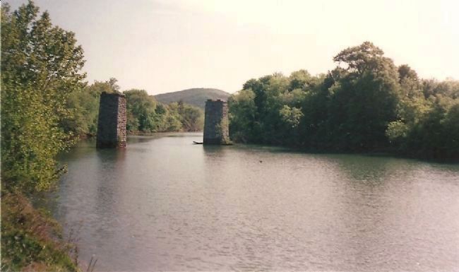
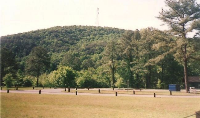
Location. 34° 9.216′ N, 84° 46.387′ W. Marker is near Cartersville, Georgia, in Bartow County. Marker is at the intersection of Joe Frank Harris Parkway (U.S. 41) and Old River Road, on the right when traveling north on Joe Frank Harris Parkway. Located at the exit ramp off Highway 41 to GA 293, on the north bank of the Etowah River. Touch for map. Marker is in this post office area: Cartersville GA 30120, United States of America. Touch for directions.
Other nearby markers. At least 8 other markers are within 2 miles of this marker, measured as the crow flies. Etowah (approx. ¼ mile away); Friendship Cemetery (approx. ¼ mile away); Amos T. Akerman (approx. 1.2 miles away); Amos T. Akerman (1821-1880) (approx. 1.2 miles away); Friendship Monument (approx. 1½ miles away); Tribute on Monument / 38 Names on Monument (approx. 1½ miles away); Asa Griggs Candler (approx. 1½ miles away); Major General Pierce Manning Butler Young, CSA (approx. 1½ miles away). Touch for a list and map of all markers in Cartersville.
Credits. This page was last revised on June 16, 2016. It was originally submitted on August 30, 2008, by David Seibert of Sandy Springs, Georgia. This page has been viewed 2,248 times since then and 36 times this year. Photos: 1, 2. submitted on August 30, 2008, by David Seibert of Sandy Springs, Georgia. 3, 4. submitted on September 2, 2008, by Craig Swain of Leesburg, Virginia. • Craig Swain was the editor who published this page.


