
Statesboro in Bulloch County, Georgia — The American South (South Atlantic)
World War II Prison Camp
Photographed by David Seibert, January 23, 2017
1. World War II Prison Camp Marker
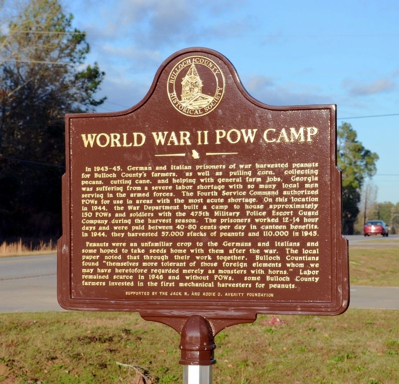
Peanuts were an unfamiliar crop to the Germans and Italians and some hoped to take seeds home with them after the war. The local paper noted that though they worked together, Bulloch Countians found “themselves more tolerant of those foreign elements whom we may have heretofore regarded merely as monsters with horns.” Labor remained scarce in 1946 and without POWs, some Bulloch County
this page online
Erected 2016 by The Bulloch County Historical Society, sponsored by the Jack N. & Addie D. Averitt Foundation.
Topics. This historical marker is listed in these topic lists: Agriculture • War, World II.
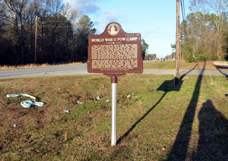
Location. 32° 27.717′ N, 81° 46.217′ W. Marker is in Statesboro, Georgia, in Bulloch County. It is on East Parrish Street (U.S. 301) 0.1 miles east of Shelby Street, on the right when traveling east. Touch for map. Marker is at or near this postal address: 16988 East Parrish Street, Statesboro GA 30458, United States of America. Touch for directions.

Regionally, this marker is in Georgia’s Coastal Plain. It is also in the American South and specifically in the Deep South. Globally, it is in the North Atlantic Region, North America, the Western Hemisphere, the Western World, and the Anglosphere. Historically, it finds itself in what was once the territory of the Mississippian Culture, one of the original Thirteen Colonies, one of the Confederate States of America, and the Antebellum South.
Photographed by David Seibert, January 23, 2017
2. World War II Prison Camp Marker
Other nearby markers. At least 8 other markers are within one mile of this marker, measured as the crow flies: William Charles “Willie” Heddleston (approx. ¾ mile away); Eastside Cemetery (approx. 0.8 miles away); First Baptist Church of Statesboro (approx. one mile away); Statesboro Sanatorium (approx. 1.1 miles away); Statesboro Vietnam Memorial (approx. 1.1 miles away); Dover & Statesboro Railroad (approx. 1.1 miles away); Statesboro, Georgia (approx. 1.1 miles away); Bulloch County Veterans Memorial (approx. 1.1 miles away). Touch for a list and map of all markers in Statesboro.
Credits. This page was last revised on October 12, 2017. It was originally submitted on October 12, 2017, by David Seibert of Sandy Springs, Georgia. This page has been viewed 1,068 times since then and 50 times this year. Photos: 1, 2. submitted on October 12, 2017, by David Seibert of Sandy Springs, Georgia.
