
Janesville in Rock County, Wisconsin — The American Midwest (Great Lakes)
James E. Croft
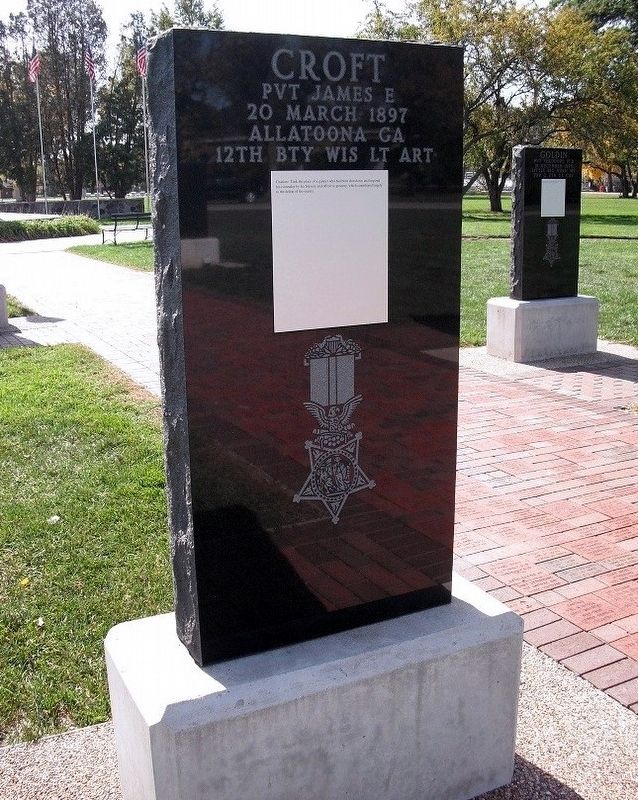
Photographed by Don Morfe, August 7, 2012
1. James E. Croft Marker
20 March 1897
Allatoona GA
12th Bty Wis Lt Art
Medal of Honor Citation:Took the place of a gunner who had been shot down and inspired his comrades by his bravery and effective gunnery, which contributed largely to the defeat of the enemy.
Topics and series. This memorial is listed in this topic list: War, US Civil. In addition, it is included in the Medal of Honor Recipients series list.
Location. 42° 41.527′ N, 89° 1.883′ W. Memorial is in Janesville, Wisconsin, in Rock County. It is on Traxler Park Road. This monument is in Traxler Park, Janesville, WI. Touch for map. Memorial is in this post office area: Janesville WI 53545, United States of America. Touch for directions.

Regionally, this memorial is in Southeast Wisconsin and in Greater Madison. It is also in the American Midwest and in the Corn Belt. Globally, it is in North America, the Western Hemisphere, the Western World, and the Anglosphere. Historically, it finds itself in what was once the territory of the Mississippian Culture and also the Northwest Territory.
Other nearby markers. At
this page online
Credits. This page was last revised on October 19, 2017. It was originally submitted on October 16, 2017, by Don Morfe of Baltimore, Maryland. This page has been viewed 543 times since then and 28 times this year. Photo 1. submitted on October 16, 2017, by Don Morfe of Baltimore, Maryland. • Bill Pfingsten was the editor who published this page.
