A Busy Iron Port
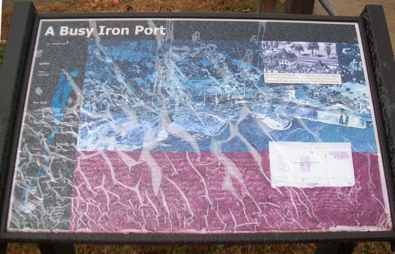
The aerial photograph of Port Henry taken about 1925 leaves no question as to the nature of this place: a busy port shipping the products of its furnaces by water and by rail. Two new furnaces, begun in 1922, represented the latest technology. An attached "sintering" plant processed fine ore powder so it would not be lost up the stack of the blast furnaces. The cantilever traveling crane made quick work of loading ore cars or barges with one of several grades of crushed ore, or sinter.
Hidden beneath the canopy of trees, to the right of the passenger station, lay the main office of Witherbee Sherman Mining Company and its adjoining carriage house. Built in 1875 just as the railroad came to town, the ornate new headquarters commanded the view you see before you, but one then filled with the smoke, heat and noise of heavy industry. The Town of Moriah took over the mining company building for offices in 1959, and the carriage house opened as the Iron Center in 1998.
[Photo captions, from left to right, read]
• Witherbee Sherman Company furnaces, headquarters and docks courtesy of Town of Moriah.
• The 1889 Bird's Eye View of Port Henry shows the company office building and the Iron Center backed by the embankment for Lake Champlain and Moriah Railroad tracks. Bird's Eye View detail courtesy of the Town Historian.
• The "Offices and Laboratory," served as the assay office for analyzing the iron content of ore samples and product. Today, interpretive exhibits occupy the main floor with a scale model of mining operations in the former ice house. The Town of Moriah Historical Society uses it for meetings and office space. The Town Historian's Office and local history research space are upstairs. Sanborn Insurance Company Map courtesy of Essex County Historical Society.
Erected by Lakes to Locks Passage.
Topics. This historical marker is listed in these topic lists: Industry & Commerce • Man-Made Features • Railroads & Streetcars • Waterways & Vessels. A significant historical year for this entry is 1925.
Location. 44° 2.602′ N, 73° 27.475′ W. Marker is in Port Henry, New York, in Essex County. Marker is on Park Place east of Main Street (New York State Route 9N/22), on the left when traveling east. Marker is at the Iron Center Museum. Touch for map. Marker is at or near this postal address: 34 Park Place, Port Henry NY 12974, United States of America. Touch for directions.
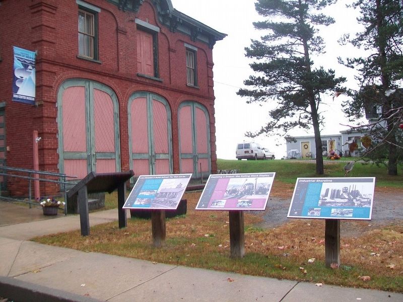
Other nearby markers. At least 8 other markers are within walking distance of this marker. Lake Champlain & Moriah Railroad: The "Elsie and Em" (here, next to this marker); Realizing a Dream: the Rolling Stock Display (here, next to this marker); Industrial Shoreline (here, next to this marker); The 1929 Lake Champlain Bridge
More about this marker. As evident, the marker is damaged and partially illegible.
Related marker. Click here for another marker that is related to this marker.
Also see . . .
1. The Iron Center Museum, Port Henry NY. (Submitted on October 18, 2017, by William Fischer, Jr. of Scranton, Pennsylvania.)
2. A walking tour of Port Henry: Mining capital of the Adirondacks. (Submitted on October 18, 2017, by William Fischer, Jr. of Scranton, Pennsylvania.)
3. Historic Port Henry-Moriah Official Website. (Submitted on October 18, 2017, by William Fischer, Jr. of Scranton, Pennsylvania.)
Credits. This page was last revised on October 18, 2017. It was originally submitted on October 18, 2017, by William Fischer, Jr. of Scranton, Pennsylvania. This page has been viewed 255 times since then and 10 times this year. Photos: 1, 2. submitted on October 18, 2017, by William Fischer, Jr. of Scranton, Pennsylvania.

