Near Bolivar in Tuscarawas County, Ohio — The American Midwest (Great Lakes)
Unknown Soldier
Fort Laurens, Ohio

Photographed by Rev. Ronald Irick, September 26, 2012
1. Unknown Soldier Marker
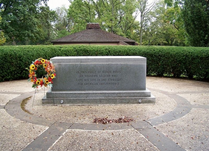
In this place of honor rests an unknown soldier who gave his life in the struggle for American Independence
Erected 1976.
Topics. This memorial is listed in these topic lists: Cemeteries & Burial Sites • War, US Revolutionary.
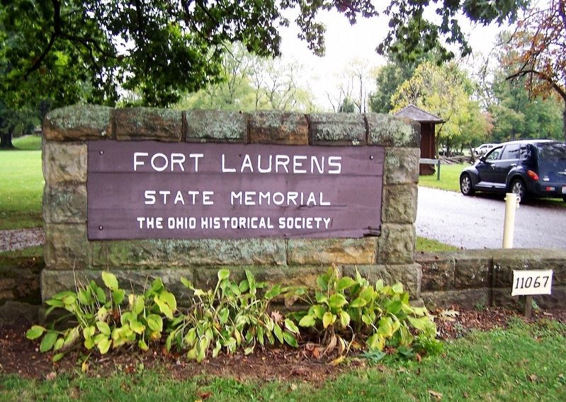
Location. 40° 38.365′ N, 81° 27.342′ W. Memorial is near Bolivar, Ohio, in Tuscarawas County. It can be reached from Fort Laurens Road (County Route 102) 0.2 miles south of Parkview Drive, on the right when traveling north. The memorial is on the grounds of the Fort Laurens Museum. Touch for map. Memorial is at or near this postal address: 11067 Fort Laurens Rd NW, Bolivar OH 44612, United States of America. Touch for directions.

Regionally, this memorial is in Amish Country. It is also in the American Midwest, in Appalachia, and specifically in Northern Appalachia. Globally, it is in North America, the Western Hemisphere, the Western World, and the Anglosphere. Historically, it finds itself in what was once the Haudenosaunee (Iroquois) Confederacy, the territory of the Mississippian Culture, and the Northwest Territory.
Other nearby markers. At
this page online
Other markers no longer nearby. Tomb (was a few steps from this marker but has been permanently removed); Hospital (was within shouting distance of this marker but has been permanently removed); Introduction (was within shouting distance of this marker but has been permanently removed); Cemetery (was within shouting distance of this marker but has been permanently removed); Excavation (was within shouting distance of this marker but has been permanently removed); Northwest Bastion (was within shouting distance of this marker but has been permanently removed); Barracks (was within shouting
Photographed by Rev. Ronald Irick, September 26, 2012
2. Unknown Soldier Marker
Photographed by Rev. Ronald Irick, September 26, 2012
3. Unknown Soldier Marker
Photographed by Rev. Ronald Irick, September 26, 2012
4. Unknown Soldier Marker
Credits. This page was last revised on October 13, 2026. It was originally submitted on October 20, 2017, by Rev. Ronald Irick of West Liberty, Ohio. This page has been viewed 1,289 times since then and 31 times this year. Photos: 1, 2, 3, 4. submitted on October 20, 2017, by Rev. Ronald Irick of West Liberty, Ohio. • Bill Pfingsten was the editor who published this page.
