Near Alpharetta in Fulton County, Georgia — The American South (South Atlantic)
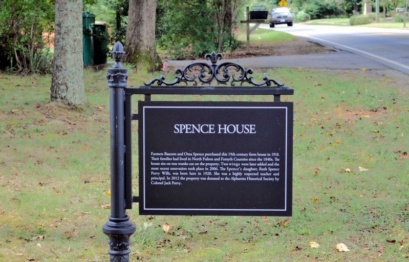
Spence House
Photographed by David Seibert, September 22, 2013
1. Spence House Marker
Erected by The Alpharetta Historical Society.
Topics. This historical marker is listed in these topic lists: Agriculture • Architecture.
Location. 34° 5.75′ N, 84° 19.667′ W. Marker is near Alpharetta, Georgia, in Fulton County. It is on Mayfield Road 0.1 miles east of Freemanville Road, on the right. Touch for map. Marker is at or near this postal address: 1145 Mayfield Road, Alpharetta GA 30009, United States of America. Touch for directions.

Regionally, this marker is in the Piedmont and in Metro Atlanta. It is also in the American South and specifically in the
this page online
Other nearby markers. At least 8 other markers are within 2 miles of this marker, measured as the crow flies: Rucker Cotton Gin (approx. 0.7 miles away); John B. Broadwell House (approx. ¾ mile away); Broadwell Building (approx. 0.8 miles away); Reese House (approx. 0.8 miles away); Providence Baptist Church (approx. 1.7 miles away); Willis Cass Tucker, Jr Home (approx. 2 miles away); Walker Barn (approx. 2 miles away); Summit School (approx. 2 miles away).
Photographed by David Seibert, September 22, 2013
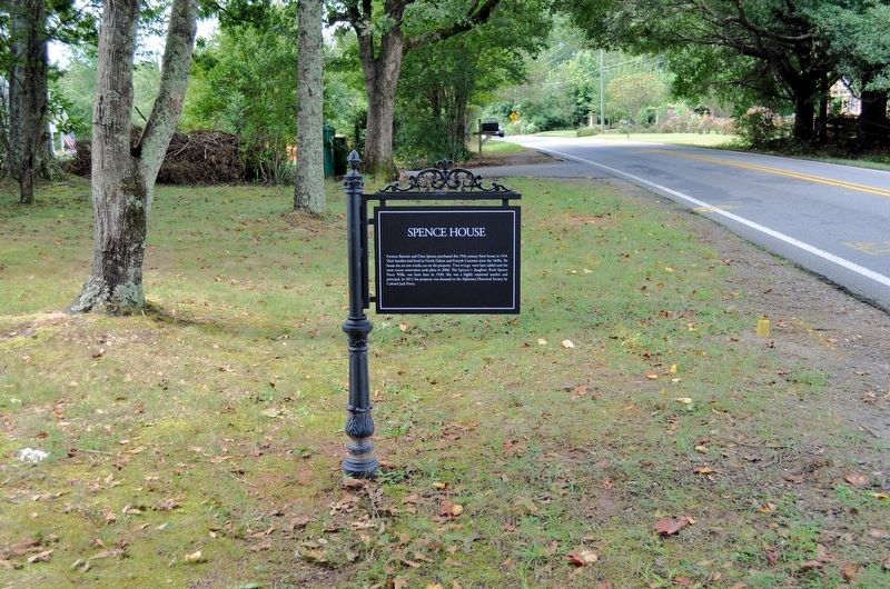
2. Spence House Marker
Photographed by David Seibert, September 22, 2013
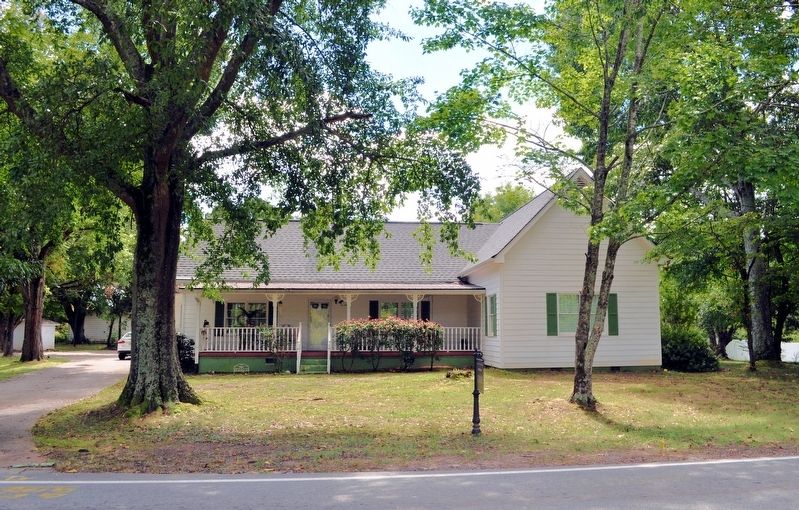
3. Spence House Marker
Photographed by David Seibert, September 22, 2013
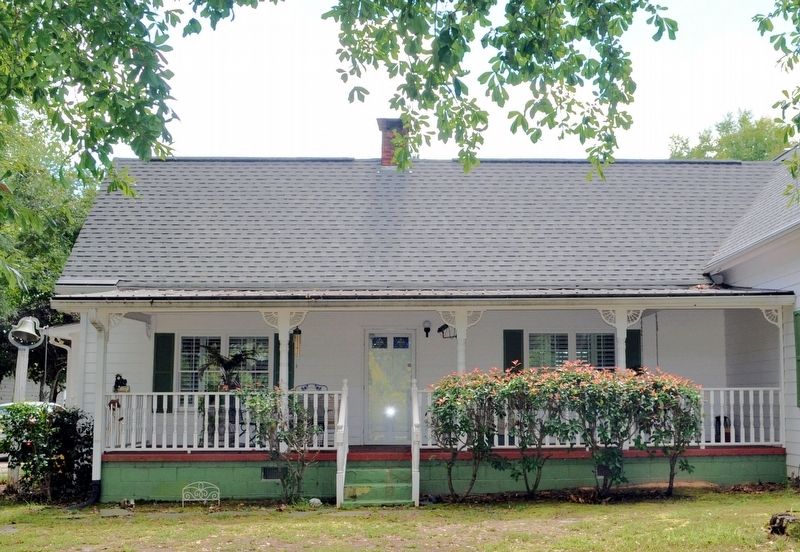
4. Spence House
This is closer to the original appearance of the house. The wing on the right, the door, and the window are later modifications to a typical 19th century farmhouse in Georgia.
Credits. This page was last revised on June 28, 2020. It was originally submitted on October 21, 2017, by David Seibert of Sandy Springs, Georgia. This page has been viewed 1,524 times since then and 121 times this year. Photos: 1, 2, 3, 4. submitted on October 21, 2017, by David Seibert of Sandy Springs, Georgia.
