
Roswell in Fulton County, Georgia — The American South (South Atlantic)
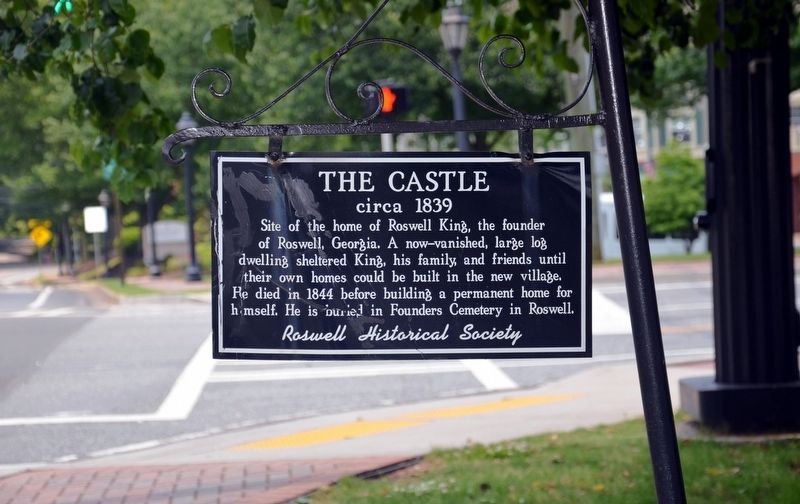
The Castle
circa 1839
Photographed by David Seibert, May 27, 2013
1. The Castle Marker
Erected by The Roswell Historical Society.
Topics. This historical marker is listed in these topic lists: Cemeteries & Burial Sites • Settlements & Settlers. A significant historical year for this entry is 1844.
Location. 34° 1.383′ N, 84° 21.783′ W. Marker is in Roswell, Georgia, in Fulton County. It is at the intersection of Magnolia Street and Mimosa Boulevard, on the right on Magnolia Street. The marker stands at the northeast corner of the intersection. Touch for map. Marker is in this post office area: Roswell GA 30075, United States of America. Touch for directions.

Regionally, this marker is in Georgia’s Piedmont and in Metro Atlanta. It is also in the American South and specifically in the Deep South. Globally, it is in North America, the Western Hemisphere, the Western World, and the Anglosphere.
this page online
Other nearby markers. At least 8 other markers are within walking distance of this marker: Pastorium (about 400 feet away, measured in a direct line); Brantley-Newton House (about 700 feet away); Francis J. Minhinnett House (approx. 0.2 miles away); The Archibald Smith Plantation Home, Outbuildings and Grounds (approx. 0.2 miles away); Great Oaks (approx. ¼ mile away); Roswell’s Distinguished Men (approx. ¼ mile away); Presbyterian Church Cemetery (approx. 0.3 miles away); Roswell's Historic Presbyterian Cemetery (approx. 0.3 miles away). Touch for a list and map of all markers in Roswell.
Photographed by David Seibert, May 27, 2013
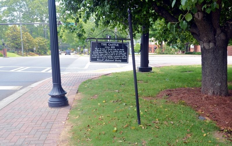
2. The Castle Marker
Looking west on Magnolia Street; Mimosa Boulevard is the cross street.
Credits. This page was last revised on November 16, 2019. It was originally submitted on October 24, 2017, by David Seibert of Sandy Springs, Georgia. This page has been viewed 734 times since then and 70 times this year. Photos: 1, 2. submitted on October 24, 2017, by David Seibert of Sandy Springs, Georgia.
