Near Champion Hill in Hinds County, Mississippi — The American South (East South Central)
Bowen's Counterattack
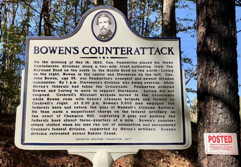
Photographed by Mark Hilton, October 24, 2017
1. Bowen's Counterattack Marker
Erected 2017
this page online
Topics. This historical marker is listed in this topic list: War, US Civil. A significant historical date for this entry is May 16, 1863.
Location. 32° 19.721′ N, 90° 31.794′ W. Marker is near Champion Hill, Mississippi, in Hinds County. It is at the intersection of Billy Fields Road and D J Johnson Road, on the left when traveling east on Billy Fields Road. Touch for map. Marker is at or near this postal address: Billy Fields Road, Edwards MS 39066, United States of America. Touch for directions.

Regionally, this marker is in Natchez Trace Corridor and in Greater Jackson. It is also in the American South and specifically in the Deep South. Globally, it is in North America, a Gulf of Mexico state, the Western Hemisphere, the Western World, and the Anglosphere. Historically, it finds itself in what was once the territory of the Mississippian Culture, one of the Confederate States of America, and the Antebellum South.
Other nearby markers. At least 8 other markers are within 3 miles of this marker, measured as the crow flies: Champion Hill Battlefield (here, next to this marker); The Battle of Champion Hill
Photographed by Mark Hilton, October 24, 2017
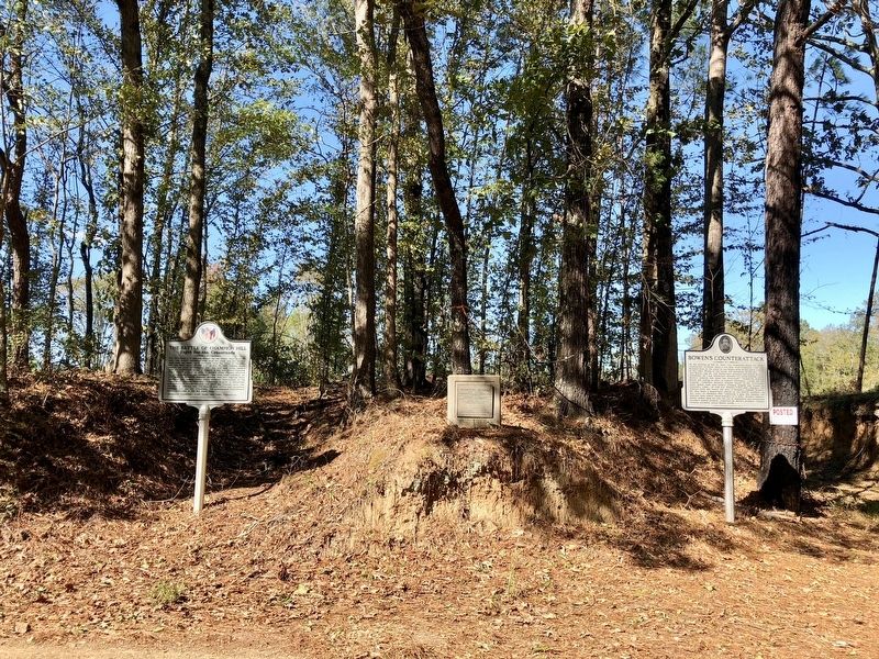
2. Bowen's Counterattack Marker to right of two other markers.
In the middle is a 1977 National Historic Landmark plaque for the Champion Hill Battlefield and to the far left is a 2013 marker about the Battle of Champion Hill.
Other markers no longer nearby. The Death of General Tilghman (was approx. 2½ miles away but has been confirmed missing); Chicago Mercantile Battery – Artillery in the Yard (was approx. 2½ miles away but has been confirmed missing); A Refugee Family (was approx. 2½ miles away but has been confirmed missing); Architecture and Renovations (was approx. 2½ miles away but has been confirmed missing).
Also see . . . Battle of Champion Hill website. (Submitted on October 25, 2017, by Mark Hilton of Montgomery, Alabama.)
Photographed by Mark Hilton, October 24, 2017
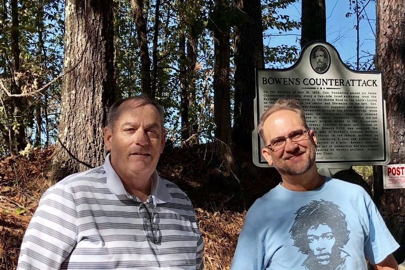
3. Photo of marker in background with Sid Champion V on right.
Sid Champion the 5th, is the great-great-grandson of Sid and Matilda Champion, the original owners of the land the Battle of Champion Hill was fought on and descendants still own.
I just happened to meet Sid V at the marker and he provided me with a wealth of information about the battle in the area and took me to the Hill of Death nearby. Thank you Sid!!
Photographed by Mark Hilton, October 24, 2017
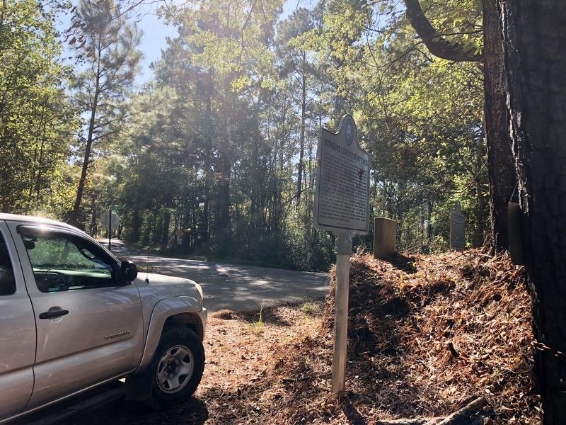
4. View of Bowen's Counterattack Marker looking towards D J Johnson Road.
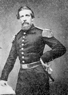
Public Domain
5. Confederate General John Stevens Bowen
Credits. This page was last revised on March 30, 2018. It was originally submitted on October 24, 2017, by Mark Hilton of Montgomery, Alabama. This page has been viewed 911 times since then and 62 times this year. Photos: 1, 2. submitted on October 24, 2017, by Mark Hilton of Montgomery, Alabama. 3, 4, 5. submitted on October 25, 2017, by Mark Hilton of Montgomery, Alabama.
