
Roswell in Fulton County, Georgia — The American South (South Atlantic)
Original Mill
Photographed by David Seibert, May 27, 2013
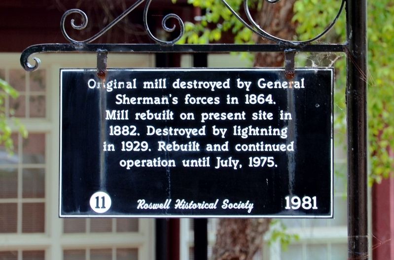
1. Original Mill Marker
Erected 1981 by The Roswell Historical Society. (Marker Number 11.)
Topics. This historical marker is listed in these topic lists: Industry & Commerce • War, US Civil.
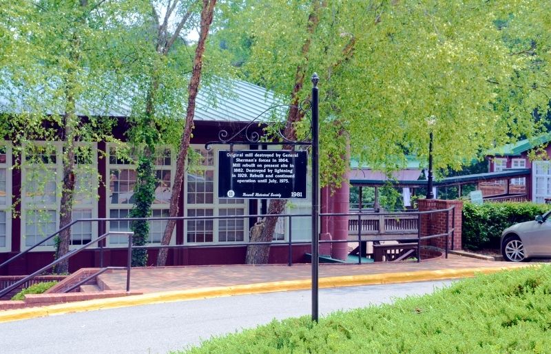
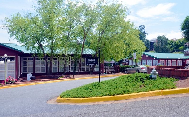
Location. 34° 0.846′ N, 84° 21.595′ W. Marker is in Roswell, Georgia, in Fulton County. It is on Mill Street 0.1 miles south of Sloan Street, in the median. The marker stands in the median at the north end of the parking lot at the end of Mill Street, in front of the old mill. Touch for map. Marker is at or near this postal address: 85-A Mill Street, Roswell GA 30075, United States of America. Touch for directions.

Regionally, this marker is in Georgia’s Piedmont and in Metro Atlanta. It is also in the American South and specifically in the Deep South. Globally, it is in North America, the Western Hemisphere, the Western World, and the Anglosphere. Historically, it finds itself in what was once the
this page online
Other nearby markers. At least 8 other markers are within walking distance of this marker: Site of the First Factory of the Roswell Manufacturing Company (about 300 feet away, measured in a direct line); After the War (about 300 feet away); Site of the 1839 Mill and the 1882 Mill (about 400 feet away); Foundation of the Mill (about 400 feet away); An Introduction to the Roswell Manufacturing Company (about 400 feet away); The History of Vickery Creek and the Covered Bridge (about 400 feet away); Effects of the Civil War on the Roswell Manufacturing Company (about 400 feet away); The History of Vickery Creek (about 400 feet away). Touch for a list and map of all markers in Roswell.
Regarding Original Mill. Other sources have stated that the lightning fire occurred in 1926.
Also see . . . Roswell Mill. (Submitted on October 25, 2017, by David Seibert of Sandy Springs, Georgia.)
Photographed by David Seibert, May 27, 2013
2. Original Mill Marker
Photographed by David Seibert, May 27, 2013
3. Original Mill Marker
Photographed by David Seibert, August 15, 2009
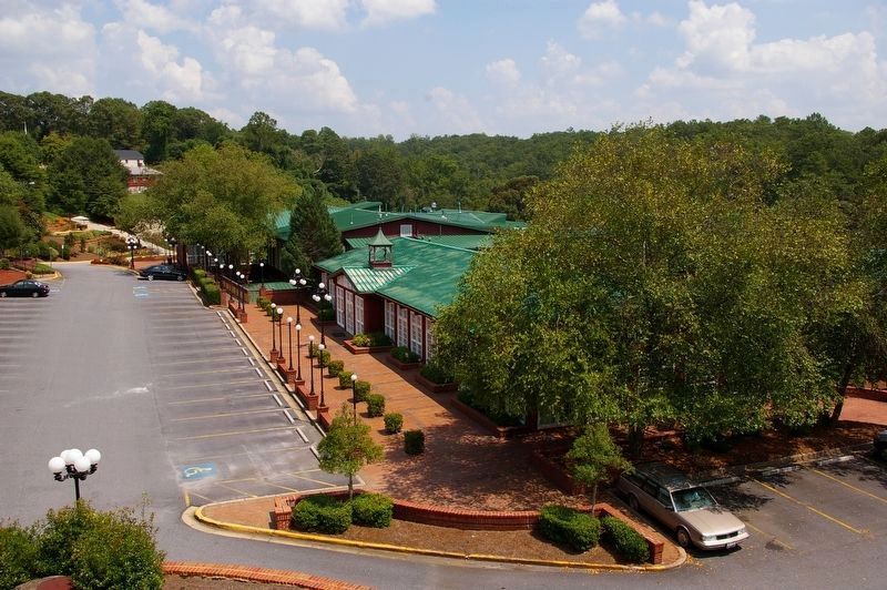
4. Original Mill and Marker
The marker can barely be seen near the top of the photo. It stands on the grassy median just to the left of the exit from the parking lot.
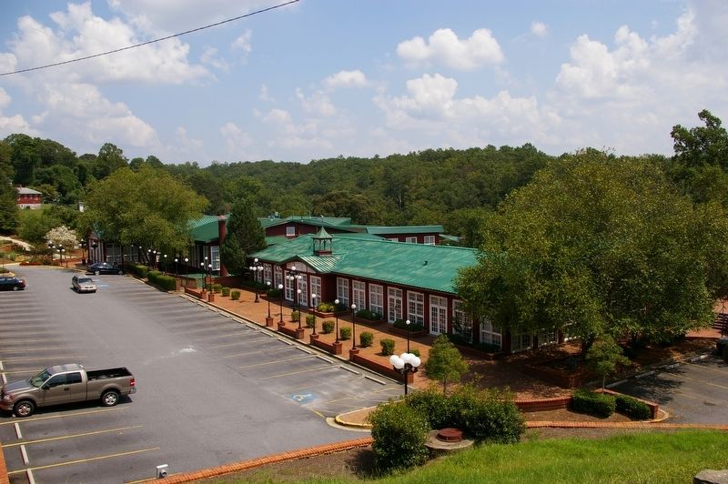
Photographed by David Seibert, August 15, 2009
5. Original Mill Complex
Credits. This page was last revised on October 26, 2017. It was originally submitted on October 25, 2017, by David Seibert of Sandy Springs, Georgia. This page has been viewed 415 times since then and 24 times this year. Photos: 1, 2. submitted on October 25, 2017, by David Seibert of Sandy Springs, Georgia. 3. submitted on October 26, 2017, by David Seibert of Sandy Springs, Georgia. 4, 5. submitted on October 25, 2017, by David Seibert of Sandy Springs, Georgia.
