Near Champion Hill in Hinds County, Mississippi — The American South (East South Central)
The Hill of Death
Photographed by Mark Hilton, October 24, 2017
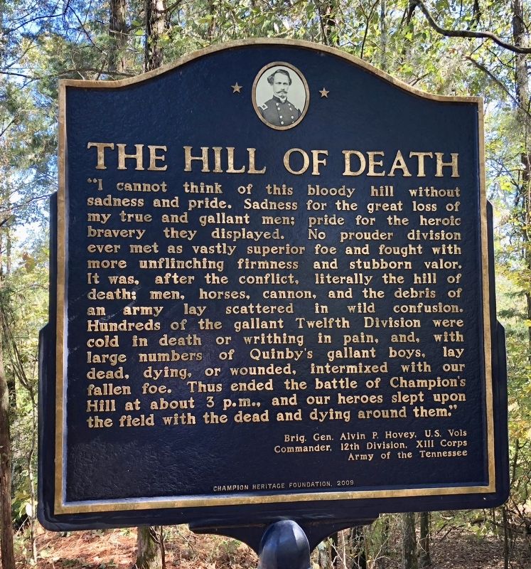
1. The Hill of Death Marker
"I cannot think of this bloody hill without sadness and pride. Sadness for the great loss of my true and gallant men; pride for the heroic bravery they displayed. No prouder division ever met as vastly superior foe and fought with more unflinching firmness and stubborn valor. It was, after the conflict, literally the hill of deaths men, horses, cannon, and the debris of an army lay scattered in wild confusion. Hundreds of the gallant Twelfth Division were cold in death or writhing in pain, and, with large numbers of Quinby's gallant boys lay dead, dying, or wounded, intermixed with our fallen foe. Thus ended the battle of Champion's Hill at about 3 p.m., and our heroes slept upon the field with the dead and dying around them."
Brig. Gen. Alvin P. Hovey, U.S. Vols
Commander, 12th Division, XIII Corps
Army of the Tennessee
Erected 2009 by the Champion Heritage Foundation.
Topics. This historical marker is listed in this topic list: War, US Civil.
Location. 32° 20.22′ N, 90° 31.605′ W. Marker is near Champion Hill, Mississippi, in Hinds County. It can be reached
this page online

Regionally, this marker is in Natchez Trace Corridor and in Greater Jackson. It is also in the American South and specifically in the Deep South. Globally, it is in North America, a Gulf of Mexico state, the Western Hemisphere, the Western World, and the Anglosphere. Historically, it finds itself in what was once the territory of the Mississippian Culture, one of the Confederate States of America, and the Antebellum South.
Other nearby markers. At least 8 other markers are within 3 miles of this marker, measured as the crow flies: Champion House Site (approx. 0.4 miles away); Site of the 3rd Battery, Ohio Light Artillery (approx. 0.4 miles away); Bowen's Counterattack (approx. 0.6 miles away); Champion Hill Battlefield (approx. 0.6 miles away); The Battle of Champion Hill (approx. 0.6 miles away); A Narrow Escape (approx. 3 miles away); Artillery Duel (approx. 3.1 miles away); The Vicksburg Campaign (approx. 3.1 miles away). Touch for a list and map
Photographed by Mark Hilton, October 24, 2017
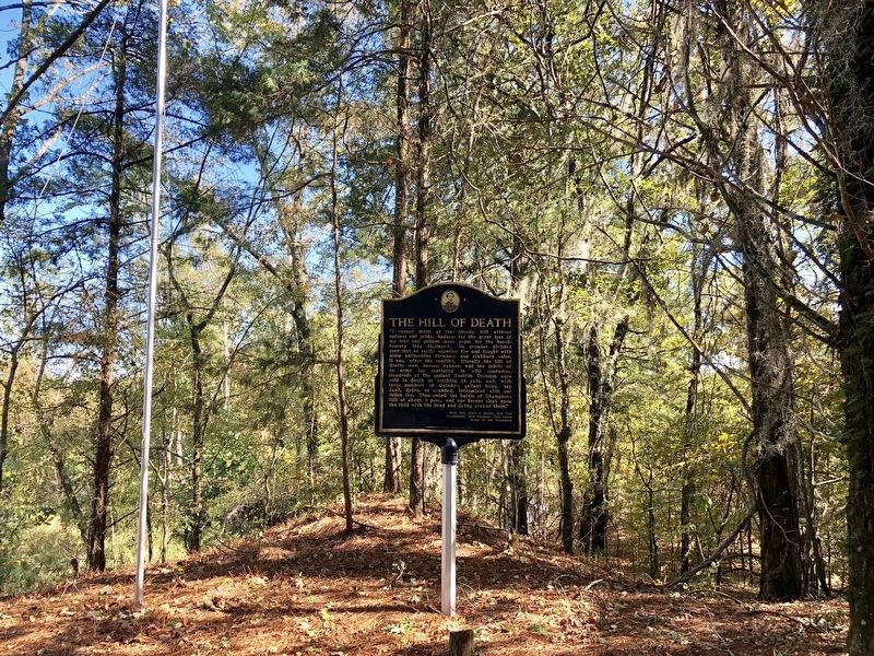
2. The Hill of Death Marker looking east from hill.
Other markers no longer nearby. The Death of General Tilghman (was approx. 3 miles away but has been confirmed missing); Chicago Mercantile Battery – Artillery in the Yard (was approx. 3 miles away but has been confirmed missing); A Refugee Family (was approx. 3.1 miles away but has been confirmed missing); Architecture and Renovations (was approx. 3.1 miles away but has been confirmed missing).
More about this marker. This marker is located on Posted Private Property. The coordinates provided are approximate on purpose. Vandalism and theft has occurred including many stolen American flags.
Go to this website for more information about visiting many areas of the battlefield and some of the markers that are on private lands.
Regarding The Hill of Death. The fighting at the summit of Champion Hill was the bloodiest of the entire engagement, so much so that Union Gen. Alvin Hovey later referred to it as the "hill of death."
About 6,200 Union and Confederate soldiers were wounded, killed or missing following the one-day battle on May 16, 1863. The battle preceded by two days the beginning
Photographed by Mark Hilton, October 24, 2017
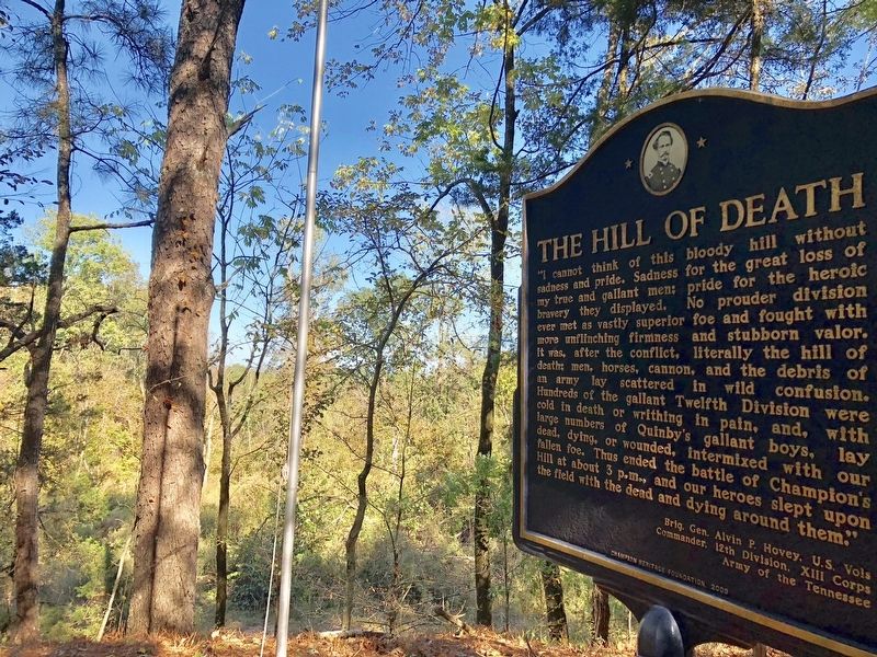
3. The Hill of Death Marker looking north.
The hill has been cut away over the years, much of the dirt was sold off and used around the area for roads and such.
Also see . . .
1. Hundreds Trek 'The Hill of Death'. (Submitted on October 27, 2017, by Mark Hilton of Montgomery, Alabama.)
2. Civil War Trust article about Battle of Champion's Hill. (Submitted on October 27, 2017, by Mark Hilton of Montgomery, Alabama.)
Photographed by Mark Hilton, October 24, 2017
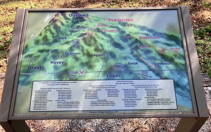
4. Map showing Union & Confederate troop placements at Champion Hill battlefield.
The 'Hill of Death' (Champion Hill) location can be seen near the top of the marker.
Credits. This page was last revised on July 13, 2025. It was originally submitted on October 27, 2017, by Mark Hilton of Montgomery, Alabama. This page has been viewed 3,311 times since then and 178 times this year. Photos: 1, 2, 3, 4. submitted on October 27, 2017, by Mark Hilton of Montgomery, Alabama.
