Vicksburg National Military Park in Warren County, Mississippi — The American South (East South Central)
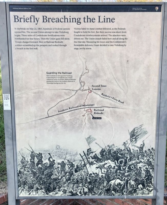
Briefly Breaching the Line
Photographed by Mark Hilton, October 24, 2017
1. Briefly Breaching the Line Marker
Vicious hand-to-hand combat followed, as the Federals fought to hold the fort. But their success was short-lived. Confederate reinforcements arrived. The attackers were driven out. The Union assault failed here and all along the line that day. Measuring his losses and the Confederate's formidable defenses, Grant decided to take Vicksburg by siege, not by storm.
[Map caption]
Guarding the Railroad
Nine Confederate forts guarded Vicksburg. Connecting these strongholds was a nearly continuous series of trenches. Railroad Redoubt guarded the tracks of the Southern Railroad of Mississippi leading into the city.
Erected by National Park Service, Department of the Interior.
Topics. This historical marker is listed in these topic lists: Forts and Castles
this page online
Location. 32° 20.559′ N, 90° 51.408′ W. Marker is in Vicksburg National Military Park, Mississippi, in Warren County. It is on Confederate Avenue, on the right when traveling west. Located just below the Texas Monument in the southern part of the park below I-20. Touch for map. Marker is in this post office area: Vicksburg MS 39183, United States of America. Touch for directions.

Regionally, this marker is in Natchez Trace Corridor and in Greater Jackson. It is also in the American South, specifically in the Deep South, in the Mississippi Delta, and in the Great River Road Region. Globally, it is in North America, a Gulf of Mexico state, the Western Hemisphere, the Western World, and the Anglosphere. Historically, it finds itself in what was once New Spain, the territory of the Mississippian Culture, one of the Confederate States of America, and the Antebellum South.
Other nearby markers. At least 8 other markers are within walking distance of this marker: C.S. Waul's Texas Legion; Army of Vicksburg (a few steps from this
Photographed by Mark Hilton, October 24, 2017
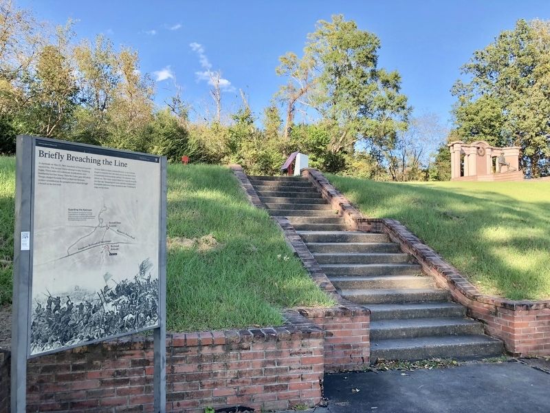
2. Briefly Breaching the Line Marker looking up to the Texas Monument.
Regarding Briefly Breaching the Line. Confederates built this work to protect the Southern Railroad of Mississippi. On the morning of May 22, 1863, Union troops assailed this stronghold and forced out the defenders. A detachment of Col. Thomas Waul's Texas Legion counterattacked and, in a savage hand-to-hand fight with bayonets, clubbed muskets, and artillery shells used as grenades drove out the Federals.
Photographed by Mark Hilton, October 24, 2017
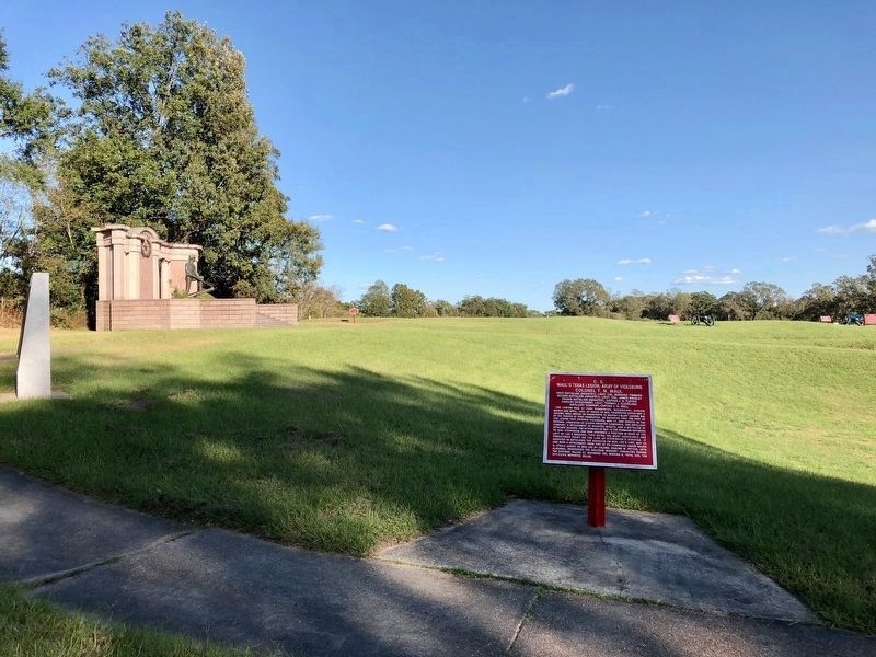
3. View of the redoubt in right background with Texas Memorial on left.
Credits. This page was last revised on November 4, 2017. It was originally submitted on October 27, 2017, by Mark Hilton of Montgomery, Alabama. This page has been viewed 522 times since then and 12 times this year. Photos: 1, 2, 3. submitted on October 28, 2017, by Mark Hilton of Montgomery, Alabama.
