Vicksburg National Military Park in Warren County, Mississippi — The American South (East South Central)
Blasting Their Way
Photographed by Mark Hilton, October 25, 2017
1. Blasting Their Way Marker
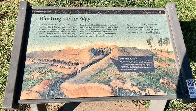
Direct assaults on the Confederate fortifications on May 19 and 22 ended in heavy Union losses. With Vicksburg's defenses holding strong. Grant changed tactics and ordered a formal siege. Here, at Third Louisiana Redan, all phases of siege warfare were brought to bear on the earthen fort in front of you.
Federal troops labored 24 hours a day in the brutal heat of the Mississippi summer to dig deep trenches along Jackson Road from the Shirley House toward this position. The 45th Illinois Infantry then burrowed under the point of the redan and filled the mine with over 2,200 pounds of black powder.
Every man in the investing line become an army engineer day and night...Entrenchments, rifle pits, and dirt caves were made in every conceivable direction.
Union Soldier
Into the Breach
On June 25th an explosion blew a huge hole in the walls of the fort. Union troops charged into the crater. A second wall stopped the soldiers in their tracks. For 26 hours a fierce battle raged. The Confederates held fast and forced the Union troops to withdraw. Vicksburg's defenses held.
Erected by National Park Service, Department of the Interior.
Topics and series. This historical marker is listed in these topic lists: Forts and Castles • War, US Civil. In addition, it is included in the Former U.S. Presidents: #18 Ulysses S. Grant series list. A significant day of the year for for this entry is May 19.
Location. 32° 21.523′ N, 90° 50.633′ W.
this page online

Regionally, this marker is in Natchez Trace Corridor and in Greater Jackson. It is also in the American South, specifically in the Deep South, in the Mississippi Delta, and in the Great River Road Region. Globally, it is in North America, a Gulf of Mexico state, the Western Hemisphere, the Western World, and the Anglosphere. Historically, it finds itself in what was once New Spain, the territory of the Mississippian Culture, one of the Confederate States of America, and the Antebellum South.
Other nearby markers. At least 8 other markers are within walking distance of this marker: Andrew Hickenlooper (a few steps from this marker); John E. Smith's Brigade; Assault, May 22, 1863. (a few steps from this marker); The Mine Explosion (a few steps from this marker); U.S. Logan's Approach. (a few steps from this marker); Melancthon Smith (within shouting distance of this marker); Affair of the Crater; June 25-26, 1863. (within shouting distance of this marker); C.S. Appeal (Arkansas) Battery; (within
Photographed by Mark Hilton, October 25, 2017
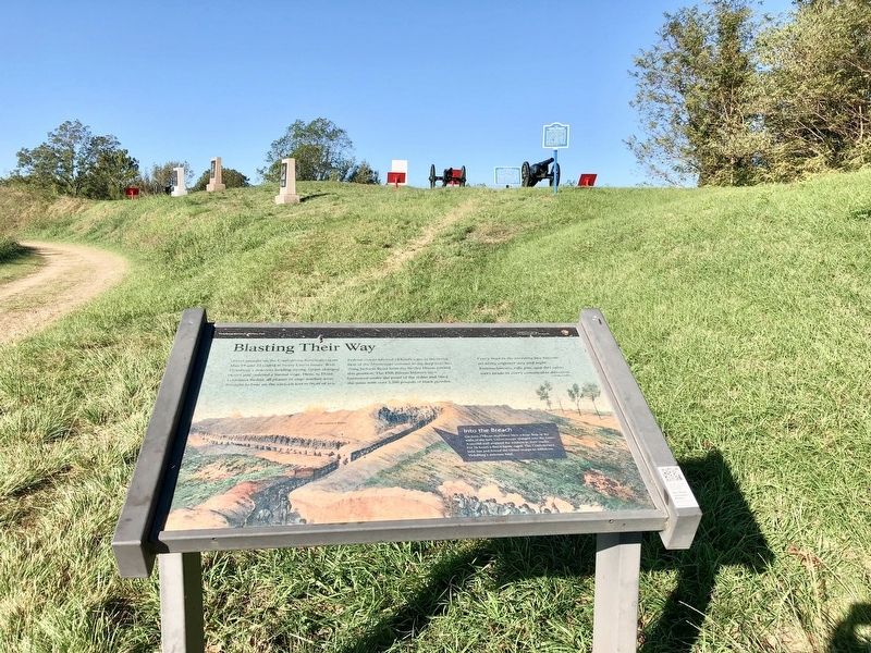
2. The redan can be seen in background.
A redan is an arrow-shaped embankment forming part of a fortification.
Regarding Blasting Their Way. A redan is an arrow-shaped embankment forming part of a fortification. Here was one of the major Confederate fortifications guarding the Jackson Road approach to Vicksburg. Concluding that the fort was impregnable to direct assault, General Grant ordered his troops to dig mines under the work and blow it up. The first mine was detonated on June 25; the second on July 1. Neither succeeded in breaking the Confederate line.
Photographed by Mark Hilton, October 25, 2017
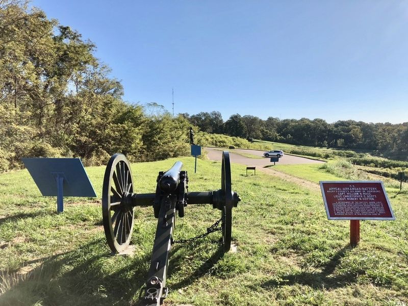
3. View east, towards marker, below the redan.
Credits. This page was last revised on August 18, 2025. It was originally submitted on October 29, 2017, by Mark Hilton of Montgomery, Alabama. This page has been viewed 734 times since then and 23 times this year. Photos: 1, 2, 3. submitted on October 29, 2017, by Mark Hilton of Montgomery, Alabama.
