
Roswell in Fulton County, Georgia — The American South (South Atlantic)
Hembree Farm
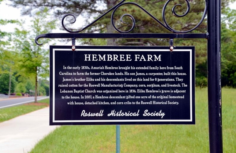
Photographed by David Seibert, May 10, 2015
1. Hembree Farm Marker
Erected by The Roswell Historical Society.
Topics. This historical marker is listed in these topic lists: Agriculture • Settlements & Settlers.
Location. 34° 3.644′ N, 84° 20.406′ W. Marker is in Roswell, Georgia, in Fulton County. It is on Hembree Road 0.1 miles west of Upper Hembree Road, on the left when traveling west. Touch for map. Marker is at or near this postal address: 775 Hembree Road, Roswell GA 30076, United States of America. Touch for directions.

Regionally, this marker is in Georgia’s
this page online
Other nearby markers. At least 8 other markers are within 3 miles of this marker, measured as the crow flies: Pleasant Hill Cemetery (approx. 1.7 miles away); Broadwell Building (approx. 2 miles away); Reese House (approx. 2 miles away); Rucker Cotton Gin (approx. 2.1 miles away); John B. Broadwell House (approx. 2.1 miles away); Mansell House (approx. 2.2 miles away); Old Roswell Cemetery (approx. 2.4 miles away); C.J. Perry House (approx. 2.4 miles away). Touch for a list and map of all markers in Roswell.
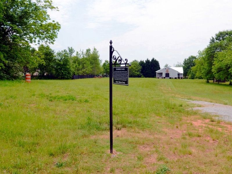
Photographed by David Seibert, May 10, 2015
2. Hembree Farm Marker
The farmhouse is in the distance.
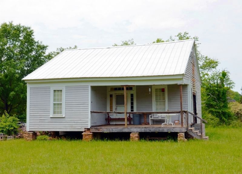
Photographed by David Seibert, May 10, 2015
3. Hembree Farmhouse
During restoration
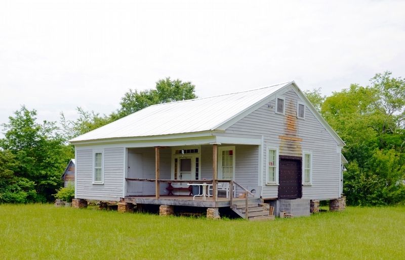
Photographed by David Seibert, May 10, 2015
4. Hembree Farmhouse
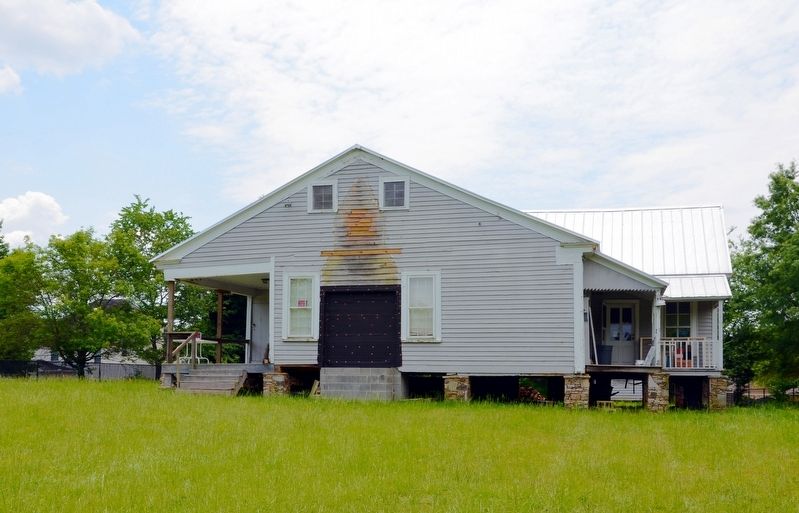
Photographed by David Seibert, May 10, 2015
5. Hembree Farmhouse
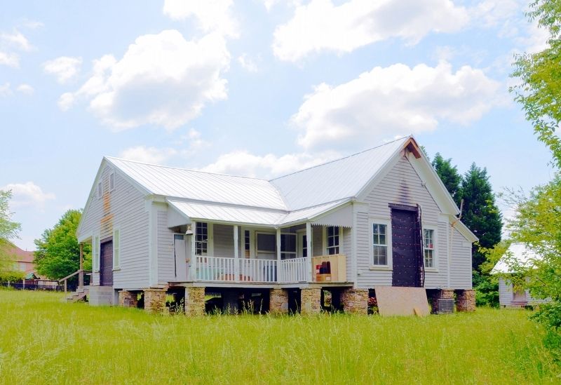
Photographed by David Seibert, May 10, 2015
6. Hembree Farmhouse
Credits. This page was last revised on October 30, 2017. It was originally submitted on October 30, 2017, by David Seibert of Sandy Springs, Georgia. This page has been viewed 1,469 times since then and 123 times this year. Photos: 1, 2, 3, 4, 5, 6. submitted on October 30, 2017, by David Seibert of Sandy Springs, Georgia.
