Leadore in Lemhi County, Idaho — The American West (Mountains)
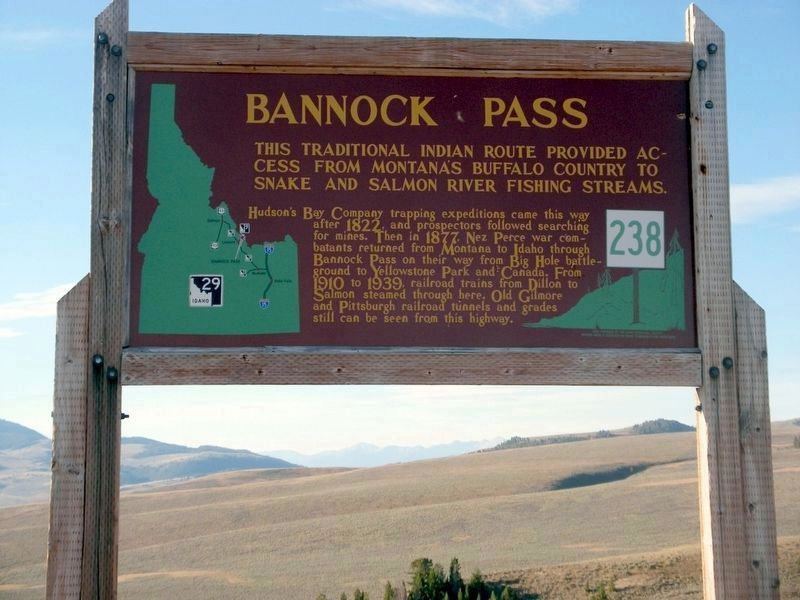
Bannock Pass
Hudson's Bay Company trapping expeditions came this way after 1822 and prosectors followed searching for mines. Then in 1877, Nez Perce war combatants returned from Montana to Idaho through Bannock Pass on their way from Big Hole battleground to Yellowstone Park and Canada. From 1910 to 1939, railroad trains from Dillon to Salmon steamed through here. Old Gilmore and Pittsburgh railroad tunnels and grades still can be seen from this highway.
Erected by Idaho Department of Transportation. (Marker Number 238.)
Topics and series. This historical marker is listed in these topic lists: Roads & Vehicles • Settlements & Settlers • Wars, US Indian. In addition, it is included in the Idaho State Historical Society series list. A significant historical year for this entry is 1822.
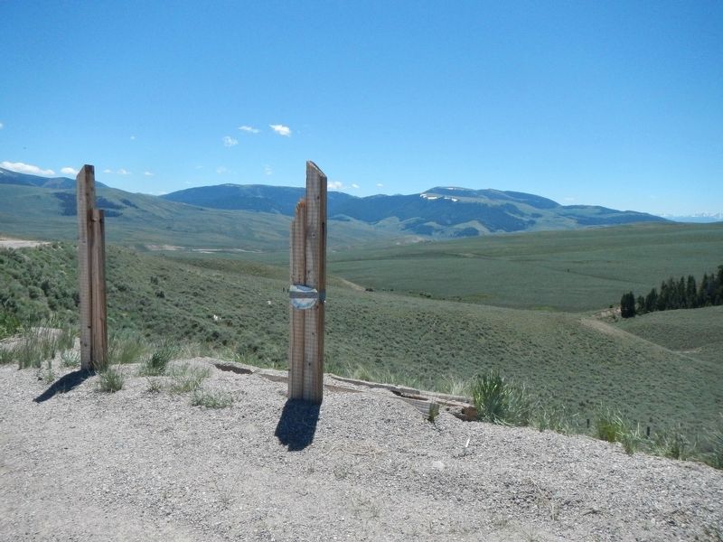
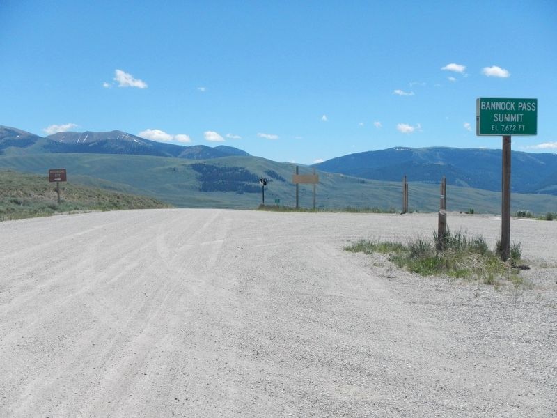
Location. Marker is missing. It was located near 44° 48.84′ N, 113° 16.326′ W. Marker was in Leadore, Idaho, in Lemhi County. Marker could be reached from State Highway 29 at milepost 13.6, on the left when traveling north. Touch for map. Marker was in this post office area: Leadore ID 83464, United States of America. Touch for directions.
Other nearby markers. At least 8 other markers are within 15 miles of this location, measured as the crow flies. Before the Roads (approx. 10.1 miles away); Sacajawea (Memorial Area) (approx. 13.7 miles away); Sacajawea Memorial Area (approx. 13.7 miles away); The Beginning of the "Endless Missouri" (approx. 13.7 miles away in Montana); "Most Distant Fountain" of the Mighty Missouri (approx. 13.7 miles away in Montana); Crossing the Great Divide (approx. 14 miles away); From Route ... To Road (approx. 14 miles away); Lemhi Pass (approx. 14.3 miles away).
More about this marker. This marker is missing, but it should be located at the Idaho/Montana state line.
Credits. This page was last revised on December 7, 2023. It was originally submitted on October 30, 2017, by Barry Swackhamer of Brentwood, California. This page has been viewed 652 times since then and 33 times this year. Photos: 1. submitted on December 5, 2023, by Sharon McConnel of Emmett, Idaho. 2, 3. submitted on October 30, 2017, by Barry Swackhamer of Brentwood, California.


