Near Tendoy in Lemhi County, Idaho — The American West (Mountains)
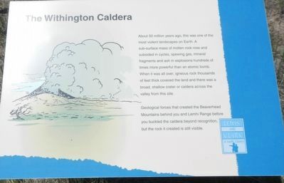
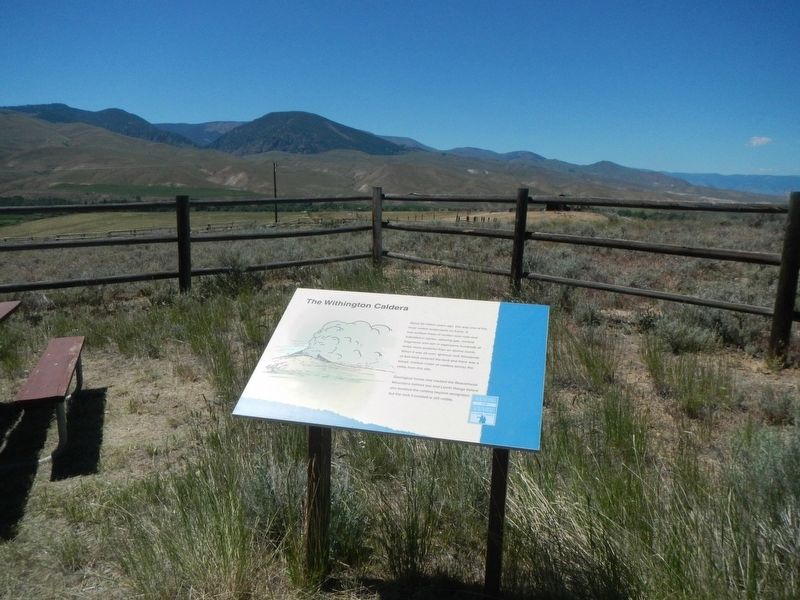
The Withington Caldera
Lewis and Clark in Lemhi County
Geological forces that created the Beaverhead Mountains behind you the and Lemhi Range before you buckled the caldera beyond recognition but the rock it created is still visible.
Erected by Bureau of Land Management.
Topics. This historical marker is listed in this topic list: Natural Features.
Location. 45° 0.227′ N, 113° 37.938′ W. Marker is near Tendoy, Idaho, in Lemhi County. Marker is on Warm Springs Road (Forest Road 185) near Back Road (County Road 28), on the left when traveling east. Touch for map. Marker is in this post office area: Tendoy ID 83468, United States of America. Touch for directions.
Other nearby markers. At least 8 other markers are within 2 miles of this marker, measured as the crow flies. Lewis Learns from the Lemhi Shoshone (here, next to this marker); Sacajawea Comes Home (here, next to this marker); Meriwether Lewis Makes Contact (here, next to this marker); William Clark's Scouting Mission (here, next to this marker); Rheumatism and Recreation (approx. 1.1 miles away); The Salmon River Mission (approx. 1˝ miles away); a different marker also named Salmon River Mission (approx. 1˝ miles away); First Irrigation Project (approx. 1˝ miles away). Touch for a list and map of all markers in Tendoy.
More about this marker. This marker is on the Lewis and Clark National Back Country Byway and Adventure Road. The Byway is a 36 mile loop from Tendoy, Idaho to Lemhi Pass and back to Tendoy over gravel roads with a 4000 foot gain and loss in elevation. There are 10 designated stops with pullouts on the Byway and over two dozen information panels and markers on route. Estimated travel time is about 3 hours.
Credits. This page was last revised on October 31, 2017. It was originally submitted on October 31, 2017, by Barry Swackhamer of Brentwood, California. This page has been viewed 291 times since then and 24 times this year. Photos: 1, 2. submitted on October 31, 2017, by Barry Swackhamer of Brentwood, California.

