Near Tendoy in Lemhi County, Idaho — The American West (Mountains)
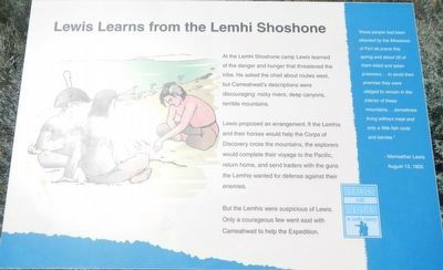
Lewis Learns from the Lemhi Shoshone
Lewis and Clark in Lemhi County
Lewis proposed an arrangement. If the Lemhis and their horses would help the Corps of Discovery cross the mountains, the explorers would complete their voyage to the Pacific and return home, and send traders with guns the Lemhis wanted for defense agains their enemies.
But the Lemhi were suspicious of Lewis. Only a courageous few went east with Cameahwait to help the Expedition.
"these people had been attacked by the Minetares of Fort de prarie (sic) this spring and about 20 of them killed and taken prisoners... to avoid their enemies they were obliged to remain in the interior of these mountains... sometimes living without meat and only a little fish roots and berries." - Meriwether Lewis, August 13, 1805
Erected by Bureau of Land Management.
Topics. This historical marker is listed in these topic lists: Exploration • Native Americans. A significant historical date for this entry is August 13, 1805.
Location. 45° 0.228′ N, 113° 37.937′ W. Marker is near Tendoy, Idaho, in Lemhi County. Marker is on Warm Springs Road (Forest Road 185) near Back Road (County Highway 28), on the left when traveling east. Touch for map. Marker is in this post office area: Tendoy ID 83468, United States of America. Touch for directions.
Other nearby markers. At least 8 other markers are within 2 miles of this marker, measured as the crow flies. Meriwether Lewis Makes Contact (here, next to this marker); The Withington Caldera (here, next to this marker); William Clark's Scouting Mission (here, next to this marker); Sacajawea Comes Home (here, next to this marker); Rheumatism and Recreation (approx. 1.1 miles away); The Salmon River Mission (approx. 1˝ miles away); a different marker also named Salmon River Mission (approx. 1˝ miles away); First Irrigation Project (approx. 1˝ miles away). Touch for a list and map of all markers in Tendoy.
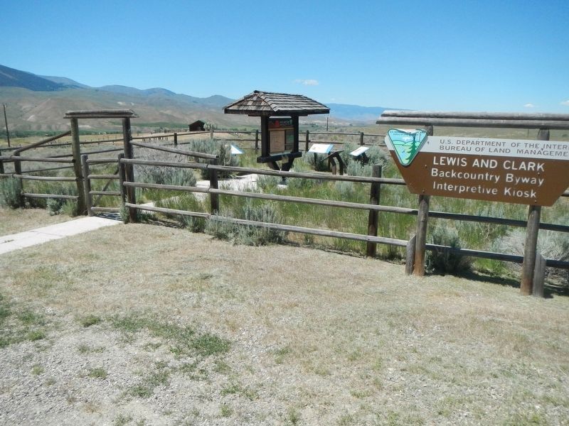
Regarding Lewis Learns from the Lemhi Shoshone. This marker is on the Lewis and Clark National Back Country Byway and Adventure Road. The Byway is a 36 mile loop from Tendoy, Idaho to Lemhi Pass and back to Tendoy over gravel roads with a 4000 foot gain and loss in elevation. There are 10 designated stops with pullouts on the Byway and over two dozen information panels and markers on route. Estimated travel time is about 3 hours.
Credits. This page was last revised on November 1, 2017. It was originally submitted on November 1, 2017, by Barry Swackhamer of Brentwood, California. This page has been viewed 262 times since then and 19 times this year. Photos: 1, 2. submitted on November 1, 2017, by Barry Swackhamer of Brentwood, California.

