Vicksburg National Military Park in Warren County, Mississippi — The American South (East South Central)
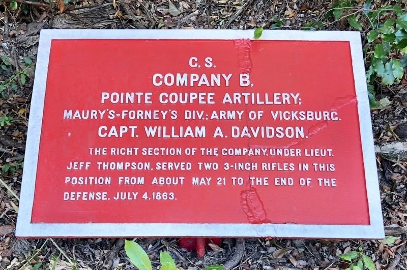
C.S. Company B,
Pointe Coupee Artillery;
— Maury's-Forney's Div.: Army of Vicksburg. —
The right section of the company, under Lieut.
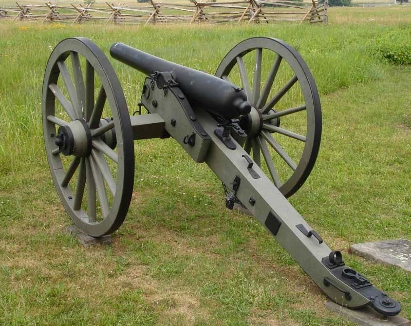
Jeff Thompson, served two 3-inch rifles in this
position from about May 21 to the end of the
defense, July 4, 1863.
Erected by the United States War Department.
Topics. This historical marker is listed in this topic list: War, US Civil. A significant historical date for this entry is May 21, 1863.
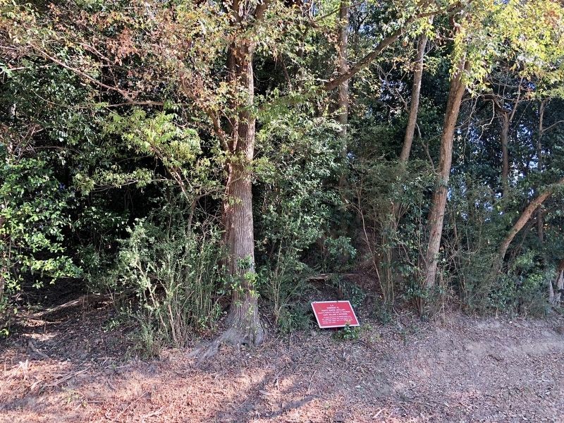
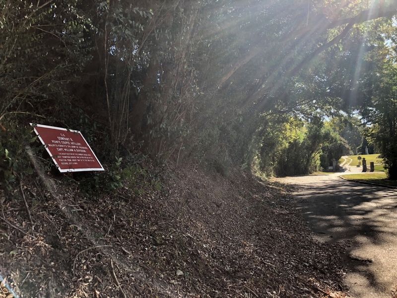
Location. 32° 20.789′ N, 90° 51.293′ W. Marker is in Vicksburg National Military Park, Mississippi, in Warren County. Marker is on Grove Street east of Baldwin Ferry Road, on the left when traveling east. Touch for map. Marker is at or near this postal address: 2414 Grove Street, Vicksburg MS 39183, United States of America. Touch for directions.
Other nearby markers. At least 8 other markers are within walking distance of this marker. Anshe Chesed Congregation (a few steps from this marker); C.S. Artillery Company, (about 300 feet away, measured in a direct line); C S Missouri (about 300 feet away); Temple Anshe Chesed Cemetery (about 300 feet away); Jefferson Davis (about 300 feet away); C.S. Company A, 1st Mississippi Light Artillery; (about 300 feet away); Mississippi Company A 1st Light Artillery (about 400 feet away); John Gregg (about 500 feet away). Touch for a list and map of all markers in Vicksburg National Military Park.
Additional keywords. C.S. Company B,
Credits. This page was last revised on March 28, 2018. It was originally submitted on November 2, 2017, by Mark Hilton of Montgomery, Alabama. This page has been viewed 211 times since then and 6 times this year. Photos: 1, 2, 3, 4. submitted on November 2, 2017, by Mark Hilton of Montgomery, Alabama.


