From Mountain to Market
1829 - 1942
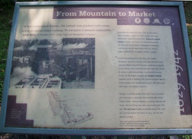
"A few miles above Easton, the Lehigh was pocked with white water at almost every turning. To navigate it seemed impossible."
Josiah White, Co-founder of the Lehigh Coal and Navigation Company
Pennsylvania's anthracite (hard coal) lay entombed within isolated, rugged mountain valleys north and west of the turbulent Lehigh River. Anthracite spelled money to those who knew of markets downstream, but low-cost transportation challenged prospective coal barons. By the beginning of the 19th century, eager businessmen struggle toward a solution.
A civil engineering feat of its time, the Lehigh Navigation tamed an almost 1,000 foot elevation drop between White Haven and Easton. Creatively designed, it used dams, hand-dug channels and calm river straits to weave a path downstream. It eventually became known as the largest capacity and longest running towpath canal in America. The section between Mauch Chunk (today's Jim Thorpe) and Easton still offers tow-path trails and watered sections.
Though successful longer than most due to location and industries it spawned, the canal finally closed. Costly floods, railroad systems, evolving highway networks and declining coal sales eventually took their toll. The last boat floated peacefully along the canal
the evening before the flood of 1942. An era and lifestyle ended.Each boat captain warned locktenders of their approach through some type of horn. Conch shells were popular.
[Photo caption reads]
Loading Panther Valley anthracite into canal boats in Mauch Chunk.
Erected by Delaware & Lehigh National Heritage Corridor, Bethlehem City and Township, and Carbon County.
Topics. This historical marker is listed in these topic lists: Environment • Industry & Commerce • Waterways & Vessels. A significant historical year for this entry is 1942.
Location. 40° 39.756′ N, 75° 14.307′ W. Marker is in Easton, Pennsylvania, in Northampton County. Marker is near the Josiah White II canal boat loading area in Hugh Moore Park. Touch for map. Marker is at or near this postal address: 2750 Hugh Moore Park Road, Easton PA 18042, United States of America. Touch for directions.
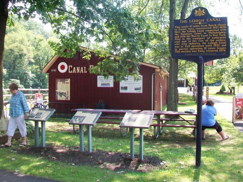
Other nearby markers. At least 8 other markers are within walking distance of this marker. The Canaler's Life (here, next to this marker); It's a Short Commute (here, next to this marker); Canal Boats (here, next to this marker); The Lehigh Canal (a few steps from this marker); Easton & Nearby Heritage Attractions (a few steps from this marker); Making Tracks (a few steps from this marker); Anthracite Tidewater Canals
Related marker. Click here for another marker that is related to this marker. An identical marker
Also see . . .
1. Delaware & Lehigh National Heritage Corridor. (Submitted on November 2, 2017, by William Fischer, Jr. of Scranton, Pennsylvania.)
2. Canal History. (Submitted on November 2, 2017, by William Fischer, Jr. of Scranton, Pennsylvania.)
3. A Brief History of the Delaware Canal. (Submitted on November 2, 2017, by William Fischer, Jr. of Scranton, Pennsylvania.)
Credits. This page was last revised on October 6, 2020. It was originally submitted on November 2, 2017, by William Fischer, Jr. of Scranton, Pennsylvania. This page has been viewed 189 times since then and 13 times this year. Photos: 1, 2. submitted on November 2, 2017, by William Fischer, Jr. of Scranton, Pennsylvania.

