Near Tendoy in Lemhi County, Idaho — The American West (Mountains)
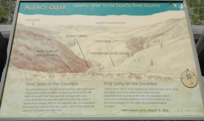
Agency Creek
Looking West to the Salmon River Country
Inscription.
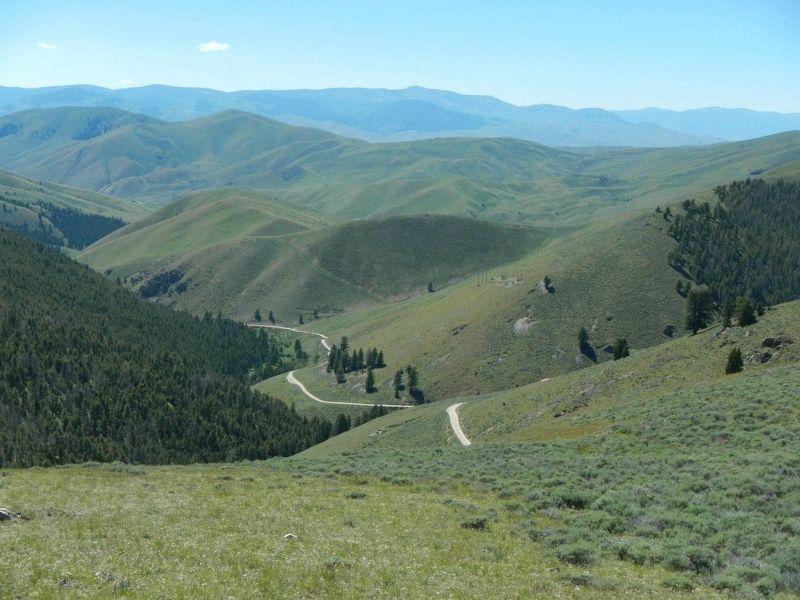
"we proceeded on to the top of the dividing ridge from which I discovered immence ranges of high mountains still to the West of us with their tops partially covered with snow. I now decended the mountain about 3/4 of a mile which I found much steeper than on the opposite side, to a handsome bold running Creek of cold Clear water. here I first stated the water of the great Columbia river.
"after a short halt of a few minutes we continued our march along the Indian road which lead us over steep hills and deep hollows to a spring on the side of a mountain where we found a sufficient quantity of dry willow brush for fuel, here we encamped for the night having traveled about 20 Miles." - Meriwether Lewis, August 12, 1805.
Erected by Beaverhead-Deerlodge & Salmon-Chaillis National Forest.
Topics and series. This historical marker is listed in these topic lists: Exploration • Natural Features. In addition, it is included in the Lewis & Clark Expedition series list. A significant historical date for this entry is August 13, 1805.
Location. 44° 58.739′ N, 113° 26.849′ W. Marker is near Tendoy, Idaho, in Lemhi County. Marker is on Warm Springs Road (Forest Road 158) near Lewis and Clark Highway (Forest Road 013), on the right when traveling south. Touch for map. Marker is in this post office area: Tendoy ID 83468, United States of America. Touch for directions.
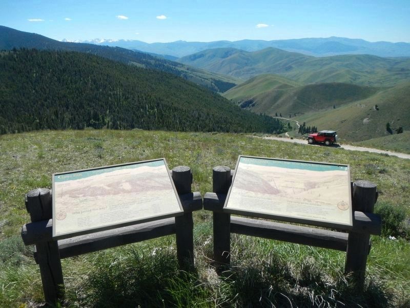
Other nearby markers. At least 8 other markers are within walking distance of this marker. Lemhi Pass (here, next to this marker); A Communication Across the Continent by Water (approx. 0.2 miles away); "Immence Ranges of High Mountains Still to the West of Us..." (approx. 0.2 miles away); From Route ... To Road (approx. 0.3 miles away); Crossing the Great Divide (approx. 0.3 miles away); "Most Distant Fountain" of the Mighty Missouri (approx. 0.6 miles away in Montana); The Beginning of the "Endless Missouri" (approx. 0.6 miles away in Montana); Sacajawea Memorial Area (approx. 0.6 miles away). Touch for a list and map of all markers in Tendoy.
More about this marker. This marker is on the Lewis and Clark National Back Country Byway and Adventure Road. The Byway is a 36 mile loop from Tendoy, Idaho to Lemhi Pass and back to Tendoy over gravel roads with a 4000 foot gain and loss in elevation. There are 10 designated stops with pullouts on the Byway and over two dozen information panels and markers on route. Estimated travel time is about 3 hours.
Credits. This page was last revised on November 3, 2017. It was originally submitted on November 3, 2017, by Barry Swackhamer of Brentwood, California. This page has been viewed 281 times since then and 14 times this year. Photos: 1, 2, 3. submitted on November 3, 2017, by Barry Swackhamer of Brentwood, California.


