The Canaler's Life
1829 - 1942
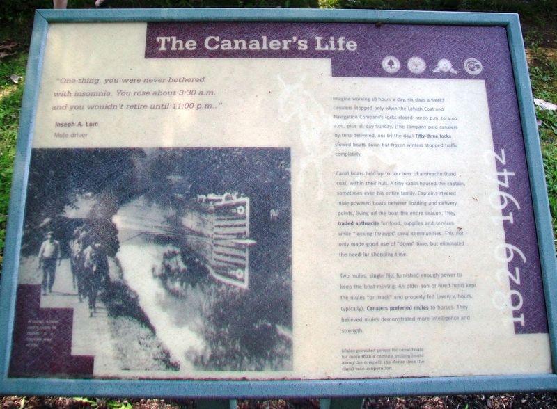
"One thing, you were never bothered with insomnia. You rose about 3:30 a.m. and you wouldn't retire until 11:00 p.m.."
Joseph A. Lum
Mule driver
Imagine working 18 hours a day, six days a week! Canalers stopped only when the Lehigh Coal and Navigation Company's locks closed: 10:00 p.m. to 4:00 a.m., plus all day Sunday. (The company paid canalers by tons delivered, not by the day.) Fifty-three locks slowed boats down but frozen winters stopped traffic completely.
Canal boats held up to 100 tons of anthracite (hard coal) within their hull. A tiny cabin housed the captain, sometimes even his entire family. Captains steered mule-powered boats between loading and delivery points, living on the boat the entire season. They traded anthracite for food, supplies and services while "locking through" canal communities. This not only made good use of "down" time, but eliminated the need for shopping time.
Two mules, single file, furnished enough power to keep the boat moving. An older son or hired hand kept the mules "on track" and properly fed (every 4 hours, typically). Canalers preferred mules to horses. They believed
this page online
Mules provided power for canal boats for more than a century, pulling boats along the towpath the entire time the canal was in operation.
Erected by Delaware & Lehigh National Heritage Corridor, Bethlehem City and Township, and Carbon County.
Topics. This historical marker is listed in these topic lists: Animals • Industry & Commerce • Waterways & Vessels.
Location. 40° 39.756′ N, 75° 14.307′ W. Marker is in Easton, Pennsylvania, in Northampton County. It can be reached from Hugh Moore Park Road. Marker is near the Josiah White II canal boat loading area in Hugh Moore Park. Touch for map. Marker is at or near this postal address: 2750 Hugh Moore Park Road, Easton PA 18042, United States of America. Touch for directions.
Regionally, this marker is in Southeast Pennsylvania and in Lehigh Valley. It is also in the American Northeast and in the Mid-Atlantic. Globally, it is in North America, the Western Hemisphere, the Western World, and the Anglosphere. Historically, it finds itself in what was once the Haudenosaunee
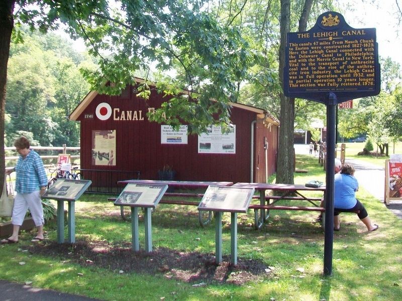
Other nearby markers. At least 8 other markers are within walking distance of this marker: From Mountain to Market (here, next to this marker); It's a Short Commute (here, next to this marker); Canal Boats (here, next to this marker); The Lehigh Canal (a few steps from this marker); Easton & Nearby Heritage Attractions (a few steps from this marker); Making Tracks (a few steps from this marker); Anthracite Tidewater Canals (a few steps from this marker); From Waterways to Highways (a few steps from this marker). Touch for a list and map of all markers in Easton.
Also see . . .
1. Delaware & Lehigh National Heritage Corridor. Website homepage (Submitted on November 3, 2017, by William Fischer, Jr. of Reynoldsburg, Ohio.)
2. A Brief History of the Delaware Canal. Friends of the Delaware Canal website entry (Submitted on November 3, 2017, by William Fischer, Jr. of Reynoldsburg, Ohio.)
Credits. This page was last revised on June 15, 2024. It was originally submitted on November 3, 2017, by William Fischer, Jr. of Reynoldsburg, Ohio. This page has been viewed 322 times since then and 18 times this year. Photos: 1. submitted on November 3, 2017, by William Fischer, Jr. of Reynoldsburg, Ohio. 2. submitted on November 2, 2017, by William Fischer, Jr. of Reynoldsburg, Ohio.
