Chittenango in Madison County, New York — The American Northeast (Mid-Atlantic)
Lateral Canal
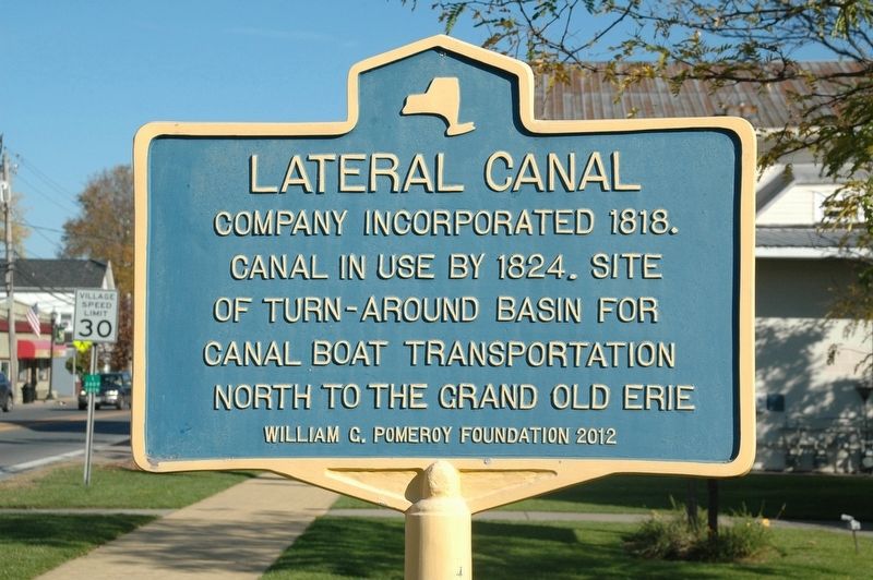
Photographed by Howard C. Ohlhous, October 21, 2017
1. Lateral Canal Marker
Canal In Use By 1824. Site
Of Turn-Around Basin For
Canal Boat Transportation
North To The Grand Old Erie
Erected 2012 by William G. Pomeroy Foundation.
Topics and series. This historical marker is listed in this topic list: Waterways & Vessels. In addition, it is included in the William G. Pomeroy Foundation series list. A significant historical year for this entry is 1818.
Location. 43° 2.664′ N, 75° 51.997′ W. Marker is in Chittenango, New York, in Madison County. It is on Genesee Street (New York State Route 5), on the right when traveling north. The marker is on the property of St. Paul's Episcopal Church. Touch for map. Marker is at or near this postal address: 204 Genesee St, Chittenango NY 13037, United States of America. Touch for directions.

Regionally, this marker is in Upstate New York, specifically in Central New York, and in the Syracuse Metropolitan Area. It is also in the American Northeast and in the Mid-Atlantic. Globally, it is in North America, the Western Hemisphere, the Western World, and the Anglosphere. Historically, it finds itself in what was
this page online
Other nearby markers. At least 8 other markers are within 2 miles of this marker, measured as the crow flies: Lamplighters Cart (within shouting distance of this marker); Industrial Area (approx. 0.2 miles away); Chittenango Rotary Club (approx. 1.1 miles away); A Cannery at the Crosswaters (approx. 1.1 miles away); A Busy, Bustling Boatyard (approx. 1.1 miles away); Feeding the Canal (approx. 1.2 miles away); Dry Docks: Canal Service Centers (approx. 1.2 miles away); Canaseraga (approx. 1.4 miles away). Touch for a list and map of all markers in Chittenango.
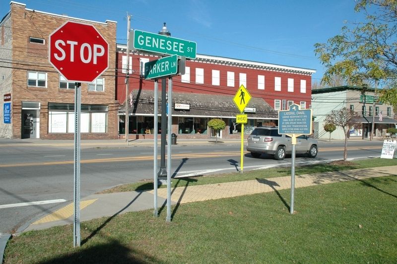
Photographed by Howard C. Ohlhous, October 21, 2017
2. Lateral Canal Marker
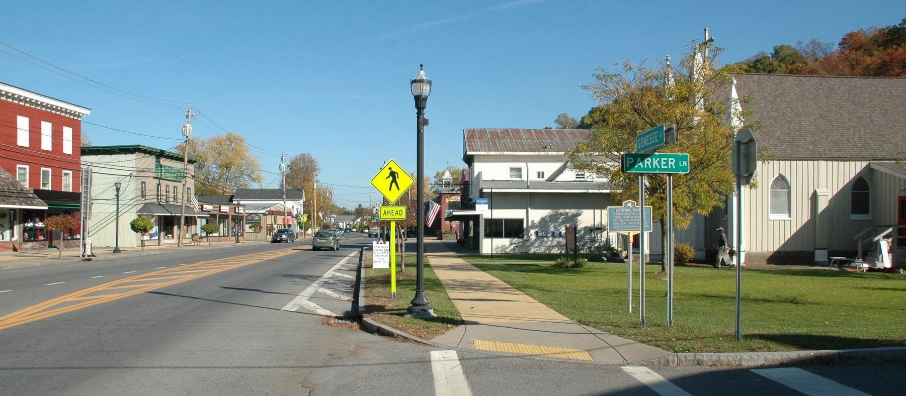
Photographed by Howard C. Ohlhous, October 21, 2017
3. Lateral Canal Marker
Credits. This page was last revised on November 4, 2017. It was originally submitted on November 3, 2017, by Howard C. Ohlhous of Duanesburg, New York. This page has been viewed 378 times since then and 24 times this year. Photos: 1, 2, 3. submitted on November 3, 2017, by Howard C. Ohlhous of Duanesburg, New York. • Bill Pfingsten was the editor who published this page.
