White Oak in Allegheny County, Pennsylvania — The American Northeast (Mid-Atlantic)
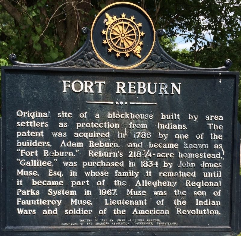
Fort Reburn
Erected 1972 by Queen Aliquippa Chapter, Daughters of the American Revolution, McKeesport Pennsylvania.
Topics and series. This historical marker is listed in this topic list: Wars, US Indian. In addition, it is included in the Daughters of the American Revolution series list. A significant historical year for this entry is 1788.
Location. 40° 20.447′ N, 79° 47.025′ W. Marker is in White Oak, Pennsylvania, in Allegheny County. Marker is on Muse Lane. Touch for map. Marker is at or near this postal address: 1949 Muse Lane, McKeesport PA 15131, United States of America. Touch for directions.
Other nearby markers. At least 8 other markers are within 4 miles of this marker, measured as the crow flies. Braddock's Last Encampment (approx. 1.8 miles away); David McKee (approx. 2.2 miles away); Helen Richey (approx. 2.3 miles away); Long Run Church (approx. 2.4 miles away); Braddock's Military Road 1755 (approx. 2.6 miles away); Queen Aliquippa (approx. 2.9 miles away); Arthur J. Rooney (approx. 3.2 miles away); Civil War Memorial (approx. 3.3 miles away).
Credits. This page was last revised on November 7, 2017. It was originally submitted on November 5, 2017. This page has been viewed 849 times since then and 42 times this year. Photo 1. submitted on November 5, 2017. • Bill Pfingsten was the editor who published this page.
