Near Sula in Ravalli County, Montana — The American West (Mountains)
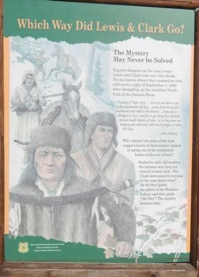
Which Way Did Lewis & Clark Go?
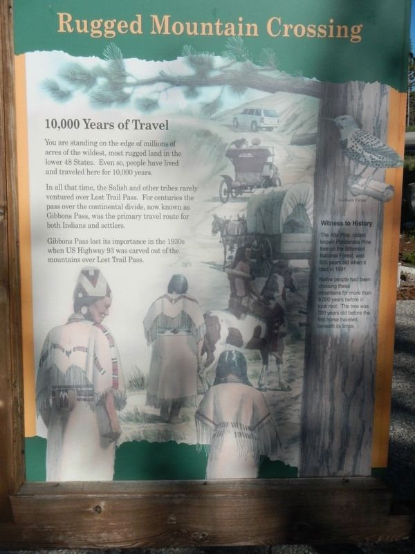
Rugged Mountain Crossing
Experts disagree on the exact route Lewis and Clark took over this divide. No one knows where they camped on that cold snowy night of September 3, 1805 after struggling up the trackless North Fork of the Salmon River.
Tuesday, 3rd Sept. 1805,... went up and down rout rockey mountains all day... Some of the horses fell backwards and roled (sic) to the bottom... Some places oblidged (sic) to cut a road for to git along thro (sic) thickets... Several Small Showers of rain. So we lay down wet hungry and cold came with much fatigue 11 miles this day. -- John Ordway
Why venture into some of the most rugged country of their journey instead of taking one of the established Indians trails east of here?
Pushed by early fall weather the captains may have not wanted to back track. Was Clark determined to continue in the most direct route? Or did they ignore the advice of the Shoshoni Indians and their guide “Old Toby”? The mystery remains today.
You are standing on the edge of millions of acres of the wildest, most rugged land in the lower 48 States. Even so, people have lived and traveled here for 10,000 years.
In all that time, the Salish and other tribes rarely ventured over Lost Trail Pass. For centuries the pass over the continental divide, now known as Gibbons Pass, was the primary travel route for both Indians and settlers.
Gibbons Pass lost its importance in the 1930s when US Highway 93 was carved out of the mountains over Lost Trail Pass.
The Alta Pine, oldest known Ponderosa Pine tree on the Bitterroot National Forest, was 905 years old when it died in 1991.
Native people had been crossing these mountains for more than 9,000 years before it took root. The tree was 700 years old before the first horse traveled beneath its limbs.
Erected by U.S. Forest Service.
Topics. This historical marker is listed in these topic lists: Exploration • Natural Features • Roads & Vehicles. A significant historical date for this entry is September 3, 1805.
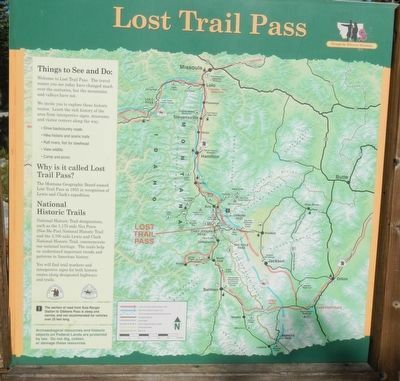
Location. 45° 41.613′ N, 113° 56.987′ W. Marker is near Sula, Montana, in Ravalli County. Marker can be reached from Lost Trail Ski Area (Forest Road 081) near Casey Road (U.S. 93), on the left when traveling east. Touch for map. Marker is in this post office area: Sula MT 59871, United States of America. Touch for directions.
Other nearby markers. At least 8 other markers are within 10 miles of this marker, measured as the crow flies. Salmon River Scenic Byway (within shouting distance of this marker); Jerry Fahey’s Cutoff (approx. ¾ mile away in Idaho); Lost Trail Pass (approx. 0.8 miles away in Idaho); Lewis and Clark (approx. 2.7 miles away in Idaho); Deep Creek (approx. 7 miles away in Idaho); Natural Travel Corridor (approx. 7 miles away); A Story of Fires... to be continued (approx. 8.6 miles away); Join the Voyage of Discovery (approx. 10 miles away). Touch for a list and map of all markers in Sula.
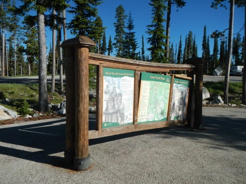
More about this marker. This marker is located in the Lost Trail - Powder Mountain Rest Area.
Credits. This page was last revised on November 5, 2017. It was originally submitted on November 5, 2017, by Barry Swackhamer of Brentwood, California. This page has been viewed 309 times since then and 21 times this year. Photos: 1, 2, 3, 4. submitted on November 5, 2017, by Barry Swackhamer of Brentwood, California.


