Near Lucile in Idaho County, Idaho — The American West (Mountains)
Hydraulic Mining
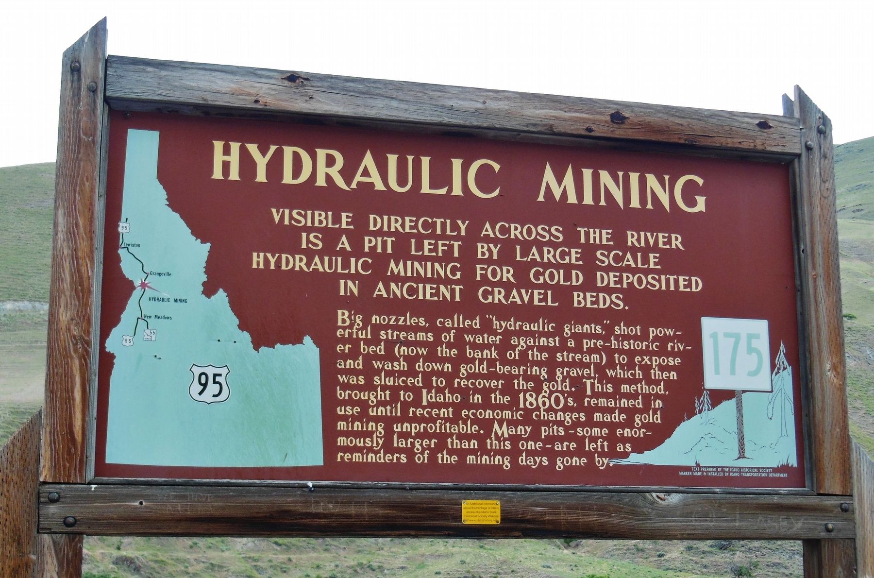
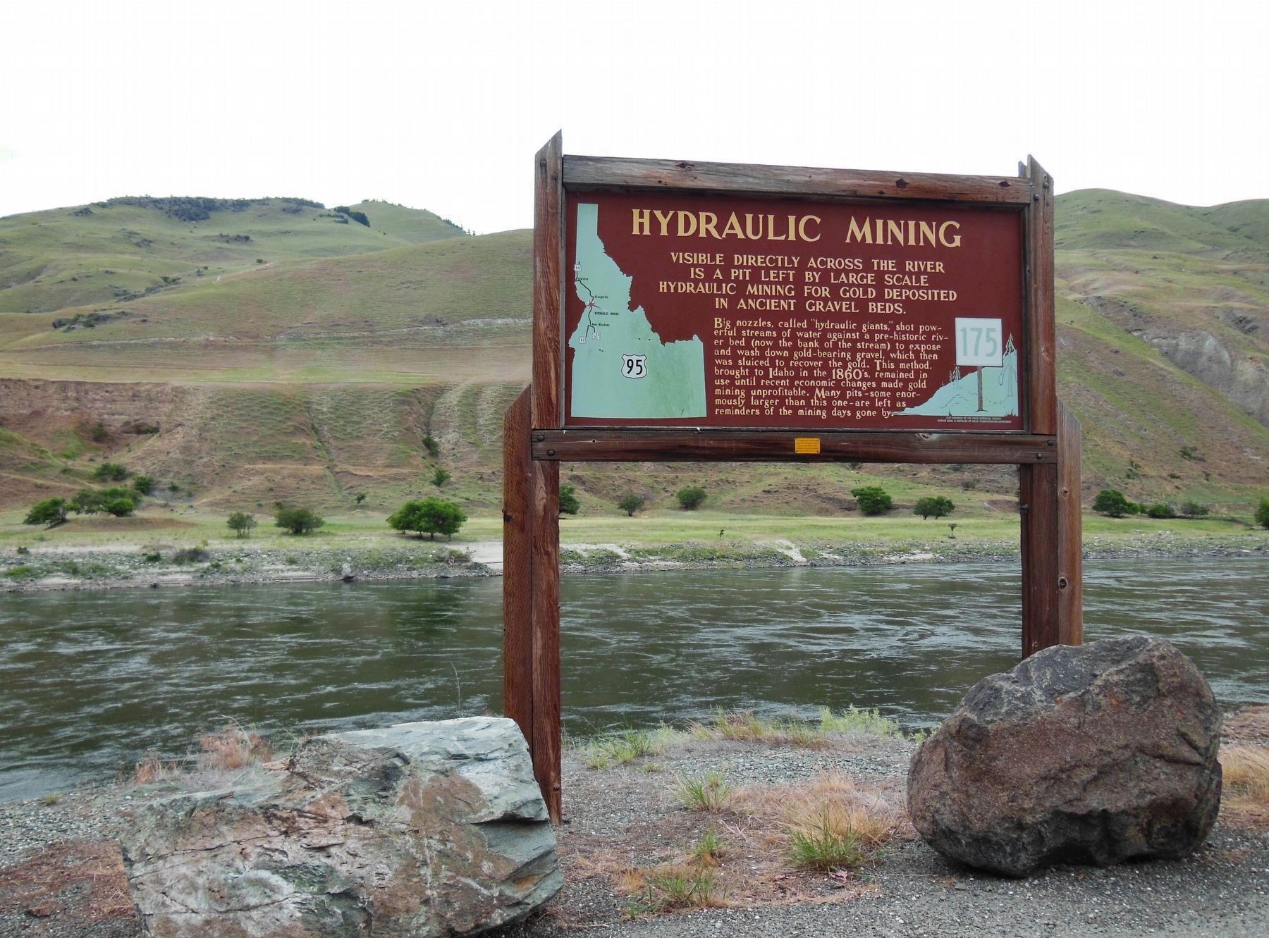
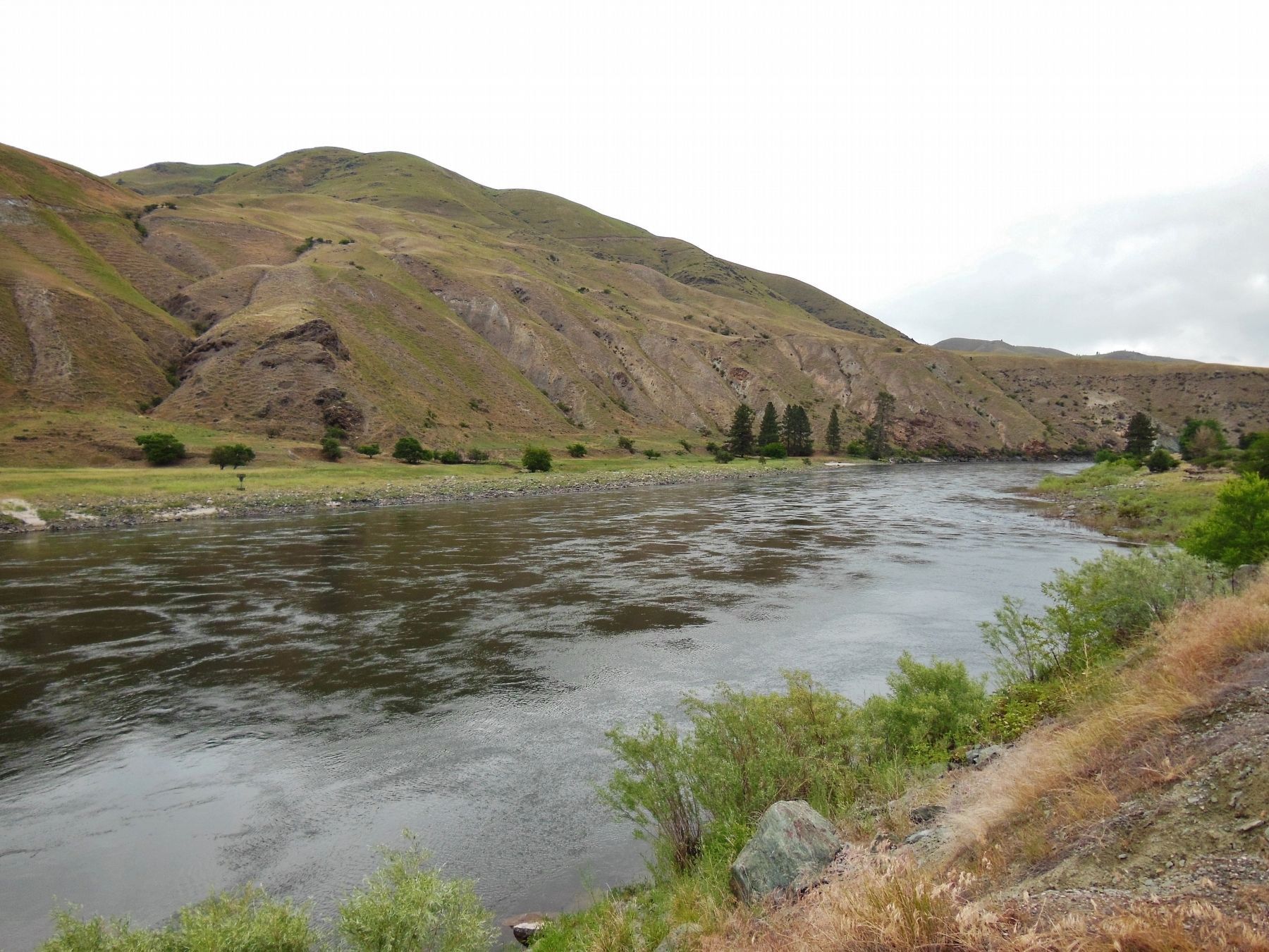
Visible directly across the river is a pit left by large scale hydraulic mining for gold deposited in ancient gravel beds.
Big nozzles, called “hydraulic giants,” shot powerful streams of water against a pre-historic river bed (now the bank of the stream) to expose and wash down gold-bearing gravel, which then was sluiced to recover the gold. This method, brought to Idaho in the 1860’s, remained in use until recent economic changes made gold mining unprofitable. Many pits – some enormously larger than this one – are left as reminders of the mining days gone by.
Erected by Idaho Historical Society & Idaho Transportation Department. (Marker Number 175.)
Topics and series. This historical marker is listed in these topic lists: Industry & Commerce • Waterways & Vessels. In addition, it is included in the Idaho State Historical Society series list.
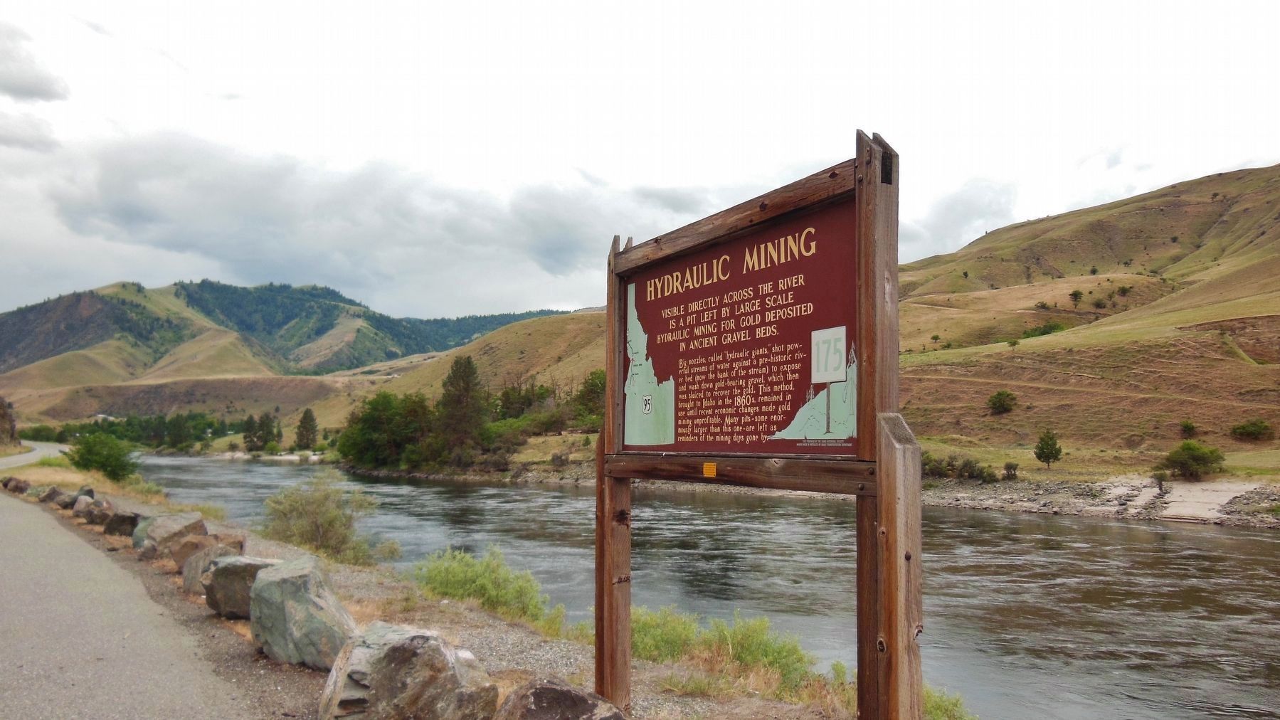
Location. 45° 32.867′ N, 116° 18.268′ W. Marker is near Lucile, Idaho, in Idaho County. Marker is on U.S. 95, 0.4 miles south of McKinley Mine Road, on the left when traveling north. Marker is located in a pull-out along the west side of US highway 95, overlooking the Salmon River. Touch for map. Marker is in this post office area: Lucile ID 83542, United States of America. Touch for directions.
Other nearby markers. At least 8 other markers are within 9 miles of this marker, measured as the crow flies. Fabulous Florence (here, next to this marker); Salmon River Canyon (approx. 4.7 miles away); Entrepreneur J.J. Goff (approx. 8.4 miles away); From The Beginning (approx. 8˝ miles away); Manning Crevice Bridge (approx. 8˝ miles away); The Scow (approx. 8˝ miles away); Riggins Area Honor Roll (approx. 8.6 miles away); Keeping the Faith (approx. 8.6 miles away).
More about this marker. A large wooden marker in good condition
Also see . . . Western Mining History: Lucile Bar Placer.
Gold Is Very Fine Grained, Some Small Nuggets From Streams; Gold From Older Bench Gravels Is More Variable. Small Placers Operated Only When There Was Sufficient Water. Closed Down After 1930'S. (Submitted on November 5, 2017, by Cosmos Mariner of Cape Canaveral, Florida.)
Credits. This page was last revised on October 21, 2020. It was originally submitted on November 5, 2017, by Cosmos Mariner of Cape Canaveral, Florida. This page has been viewed 372 times since then and 45 times this year. Photos: 1, 2, 3, 4. submitted on November 5, 2017, by Cosmos Mariner of Cape Canaveral, Florida. • Bill Pfingsten was the editor who published this page.


