White Bird in Idaho County, Idaho — The American West (Mountains)
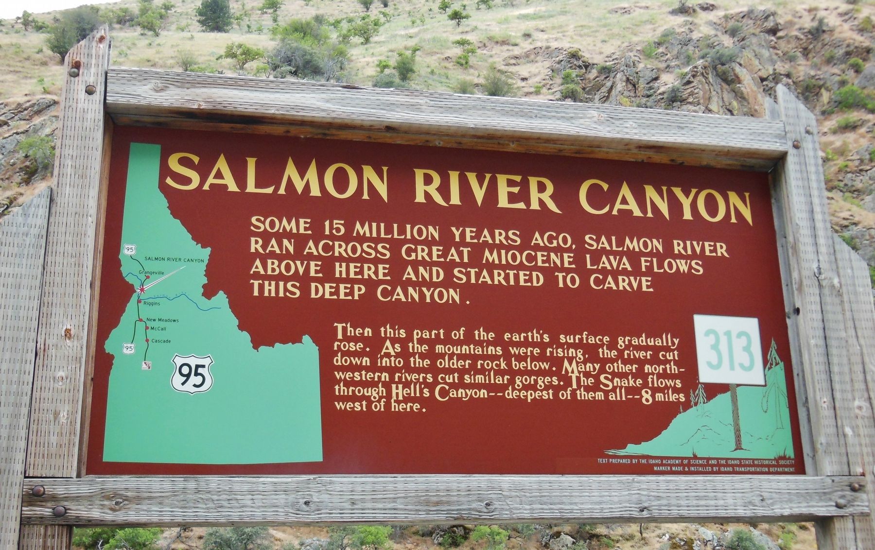
Salmon River Canyon
Some 15 million years ago, Salmon River ran across great Miocene lava flows
| — | above here and started to carve this deep canyon | — |
Photographed by Cosmos Mariner, June 24, 2013
1. Salmon River Canyon Marker
Then this part of the earth’s surface gradually rose. As the mountains were rising, the river cut down into the older rock below. Many other northwestern rivers cut similar gorges. The Snake flows through Hell’s Canyon – deepest of them all – 8 miles west of here.
Erected by Idaho State Historical Society & Idaho Transportation Department. (Marker Number 313.)
Topics and series. This historical marker is listed in this topic list: Waterways & Vessels. In addition, it is included in the Idaho State Historical Society series list.
Location. 45° 36.821′ N, 116° 16.886′ W. Marker is in White Bird, Idaho, in Idaho County. It is on U.S. 95 one mile south of Slate Creek Road, on the left when traveling north. Marker is located in a pull-out on the west side US highway 95 overlooking the Salmon River and Canyon. Touch for map. Marker is in this post office area: White Bird ID 83554, United States of America. Touch for directions.

Regionally, this marker is in North Idaho — Idaho’s Panhandle. It is also in the American Mountain West, specifically in the
this page online
Other nearby markers. At least 8 other markers are within 13 miles of this marker, measured as the crow flies: Fabulous Florence (approx. 4.7 miles away); Hydraulic Mining (approx. 4.7 miles away); June 17, 1877 (approx. 11.6 miles away); Truce or War (approx. 11.7 miles away); White Bird Battlefield (approx. 13 miles away); Nez Perce War (approx. 13 miles away); White Bird Grade (approx. 13 miles away); Entrepreneur J.J. Goff (approx. 13.1 miles away). Touch for a list and map of all markers in White Bird.
More about this marker. A large wooden marker in good condition
Also see . . .
1. A River of History - Idaho's Salmon River of No Return.
It earns its name “The River of No Return” for its wilderness shrouded, roadless section which spans a massive piece of country between the outposts of Salmon and Riggins Idaho. Pioneers managed to assemble watercraft to navigate the waters but once they passed into the canyon no way back
Photographed by Cosmos Mariner, June 24, 2013
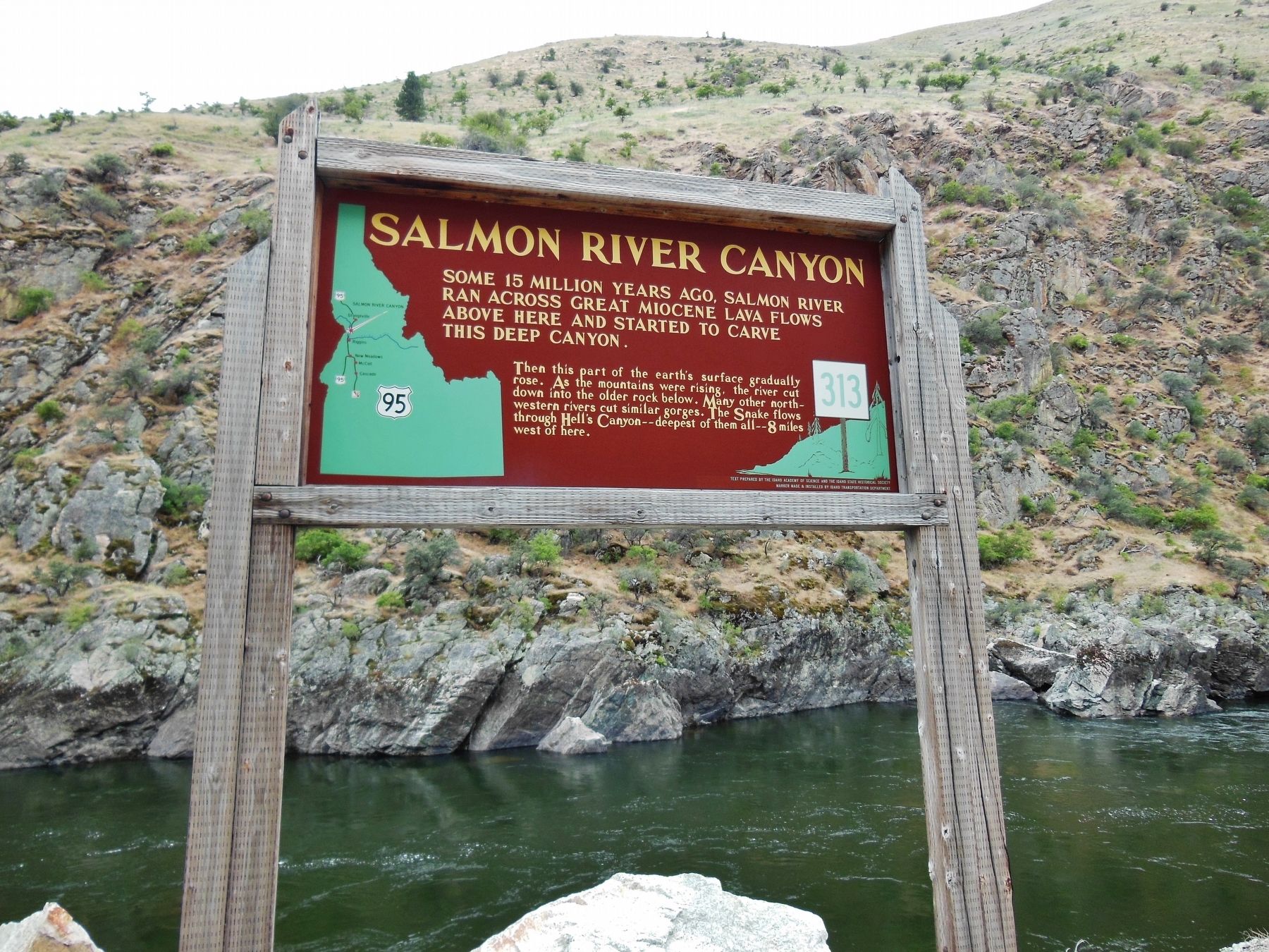
2. Salmon River Canyon Marker (wide view)
2. Salmon River, Idaho.
The Salmon flows through a vast wilderness in one of the deepest gorges on the continent. Its granite-walled canyon is one-fifth of a mile deeper than the Grand Canyon, and, for approximately 180 miles, the Salmon Canyon is more than one mile deep. (Submitted on November 6, 2017, by Cosmos Mariner of Cape Canaveral, Florida.)
Photographed by Cosmos Mariner, June 24, 2013
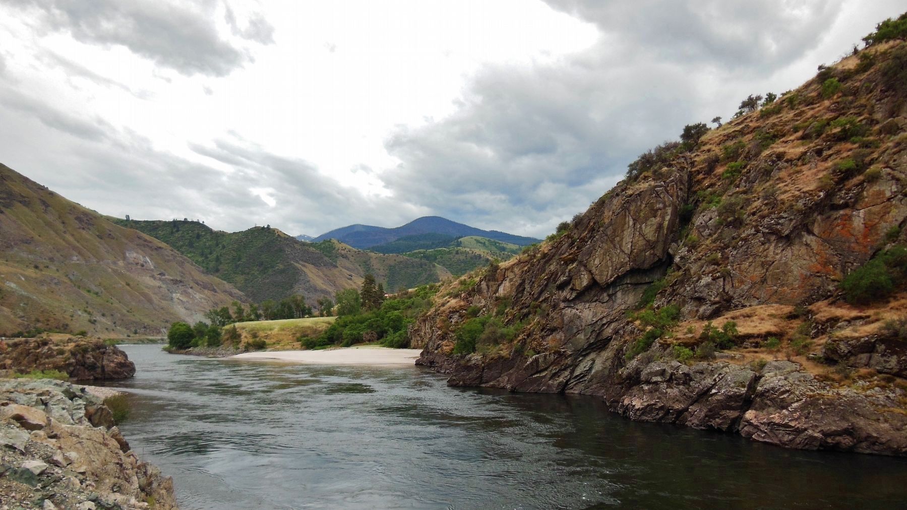
3. Salmon River Canyon (view looking south from the marker)
Photographed by Cosmos Mariner, June 24, 2013
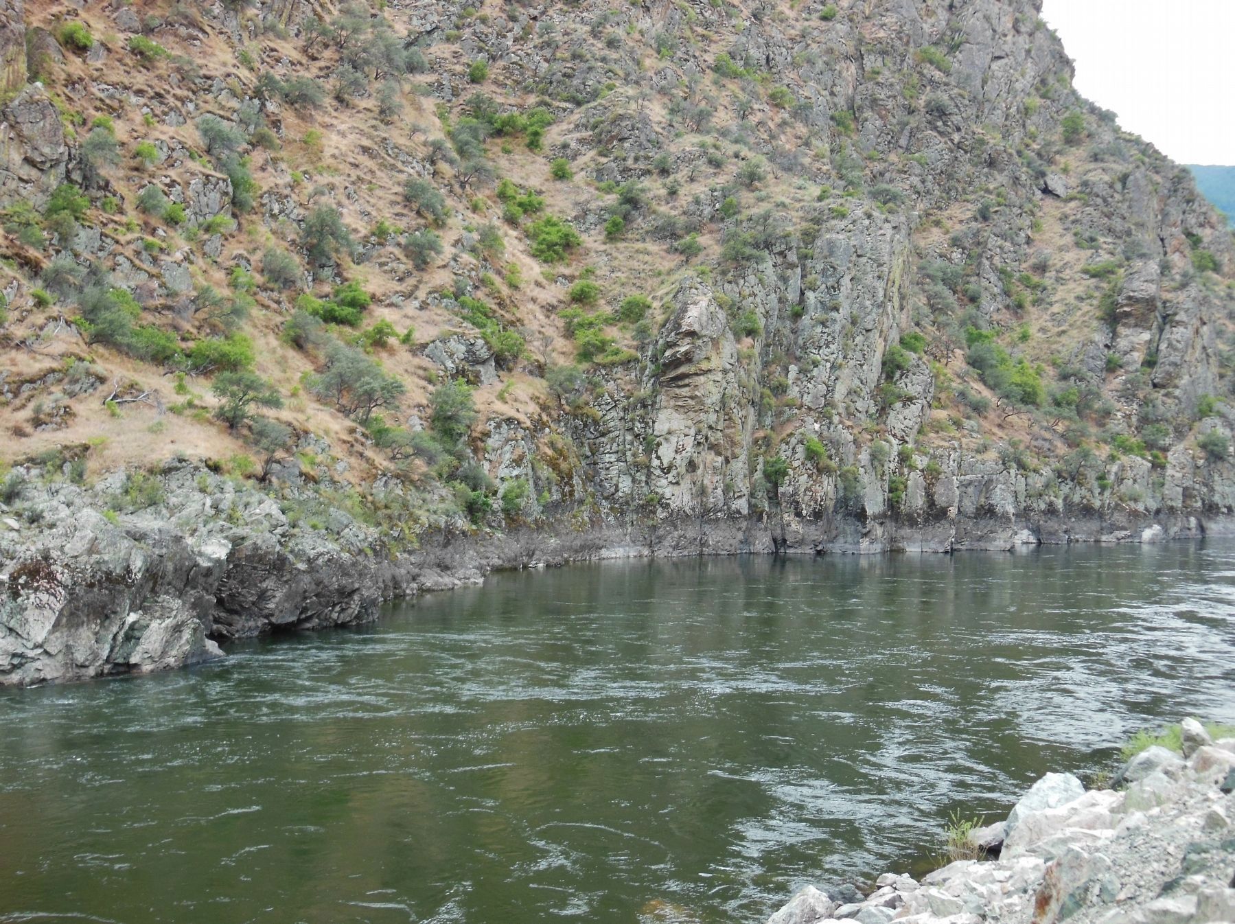
4. Salmon River Canyon (view looking north from the marker)
Credits. This page was last revised on October 21, 2020. It was originally submitted on November 6, 2017, by Cosmos Mariner of Cape Canaveral, Florida. This page has been viewed 644 times since then and 65 times this year. Photos: 1, 2, 3, 4. submitted on November 6, 2017, by Cosmos Mariner of Cape Canaveral, Florida. • Bill Pfingsten was the editor who published this page.
