Challis in Custer County, Idaho — The American West (Mountains)
Land of the Yankee Fork Historic Area
Inscription.
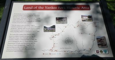
Overlooked by many heading west, Idaho experienced little settlement until the 1860s when the discovery of gold brought a reverse migration from Oregon, Washington and California. Mining camps immediately sprang to life and the busy noises of pick and shovel mixed with the wilderness sounds of wind and water.
With the miners came merchants, loggers, ranchers and farmers eager to take part in this new prosperity. Mining camps became towns as settlers from around the country and the world arrived daily, propelling Idaho to statehood on July 3, 1890.
The Land of the Yankee Fork Historic Area preserves Idaho's frontier mining heritage by telling the unique story of people and place. Created as Idaho's Centennial Park in 1990, this area is managed by the U.S. Forest Service, Idaho Department of Parks and Recreation, and the Bureau of Land Management. Together, this partnership provides stewardship, interprets numerous historic sites and offers outstanding recreational opportunities.
Erected by Yankee Fork Interpretive Center.
Topics. This historical marker is listed in this topic list: Notable Events. A significant historical date for this entry is July 3, 1890.
Location. 44° 30.366′ N, 114° 13.446′ W. Marker is in Challis, Idaho, in Custer County. Marker is at the intersection of Main Street and U.S. 93, on the right on Main Street. Touch for map. Marker is at or near this postal address: 1220 Main Street, Challis ID 83226, United States of America. Touch for directions.
Other nearby markers. At least 5 other markers are within 6 miles of this marker, measured as the crow flies. Challis (a few steps from this marker); Michel Bourdon (approx. 1.3 miles away); Bison Jump (approx. 2.4 miles away); Parting of the Ways (approx. 5.1 miles away); Corkscrew Grade (approx. 6 miles away).
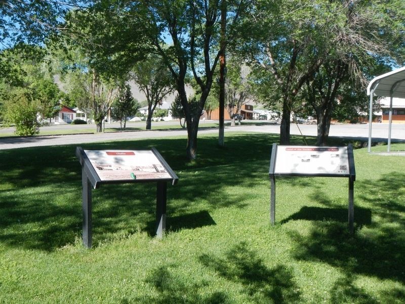
More about this marker. This marker is located in a small park at the corner of Main Street and Highway 93.
Credits. This page was last revised on November 6, 2017. It was originally submitted on November 6, 2017, by Barry Swackhamer of Brentwood, California. This page has been viewed 272 times since then and 15 times this year. Photos: 1, 2. submitted on November 6, 2017, by Barry Swackhamer of Brentwood, California.

