Near Mackay in Custer County, Idaho — The American West (Mountains)
Earthquake! - The Event
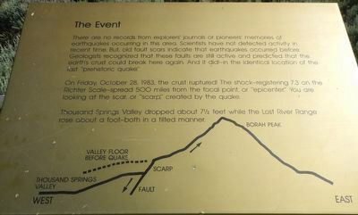
Photographed by Barry Swackhamer, June 25, 2017
1. Earthquake! - The Event Marker
On Friday, October 28, 1983, the crust ruptured! The shock -- registering 7.3 on the Richter Scale - spread 500 miles from the focal point, or “epicenter.” You are looking at the scar, or “scarp,” created by the quake.br Thousand Springs Valley dropped about 7 1/2 feet while the Lost River Range rose about a foot - both in a tilted manner.
Erected by Challis National Forest.
Topics. This historical marker is listed in these topic lists: Disasters • Natural Features. A significant historical date for this entry is October 28, 1983.
Location. 44° 9.849′ N, 113° 52.093′ W. Marker is near Mackay, Idaho, in Custer County. It can be reached from Doublespring Pass Road (Forest Road
this page online

Regionally, this marker is in Central Idaho — Sawtooth Range. It is also in the American Mountain West. Globally, it is in North America, the Rocky Mountains, the Western Hemisphere, the Western World, and the Anglosphere.
Other nearby markers. At least 5 other markers are within 13 miles of this marker, measured as the crow flies: Earthquake! - The Stage (a few steps from this marker); Earthquake! - The Results (a few steps from this marker); Earthquakes (approx. 2½ miles away); Mount Borah (approx. 2½ miles away); Goodin's River (approx. 12.8 miles away).
More about this marker. This marker is located at a geologic exhibit about 2 1/2 miles on a gravel road from US Highway 93.
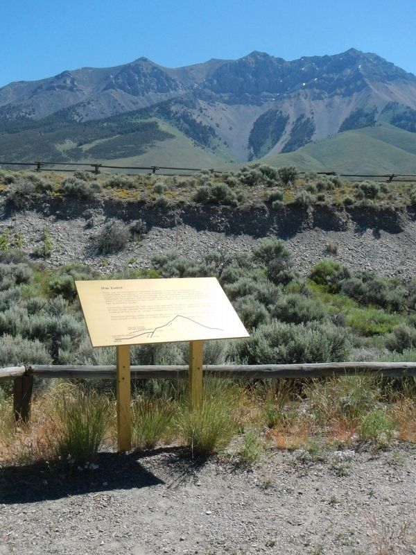
Photographed by Barry Swackhamer, June 25, 2017
2. Earthquake! - The Event Marker
Credits. This page was last revised on November 7, 2017. It was originally submitted on November 7, 2017, by Barry Swackhamer of Brentwood, California. This page has been viewed 545 times since then and 21 times this year. Photos: 1, 2. submitted on November 7, 2017, by Barry Swackhamer of Brentwood, California.
