Natchitoches in Natchitoches Parish, Louisiana — The American South (West South Central)
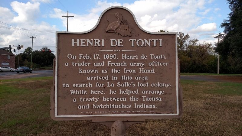
Henri de Tonti
Photographed by Mike Wintermantel, November 5, 2017
1. Henri de Tonti Marker
Erected 1965 by The Louisiana Tourist Development Commission.
Topics. This historical marker is listed in these topic lists: Exploration • Indigenous Peoples and Communities. A significant historical date for this entry is February 17, 1690.
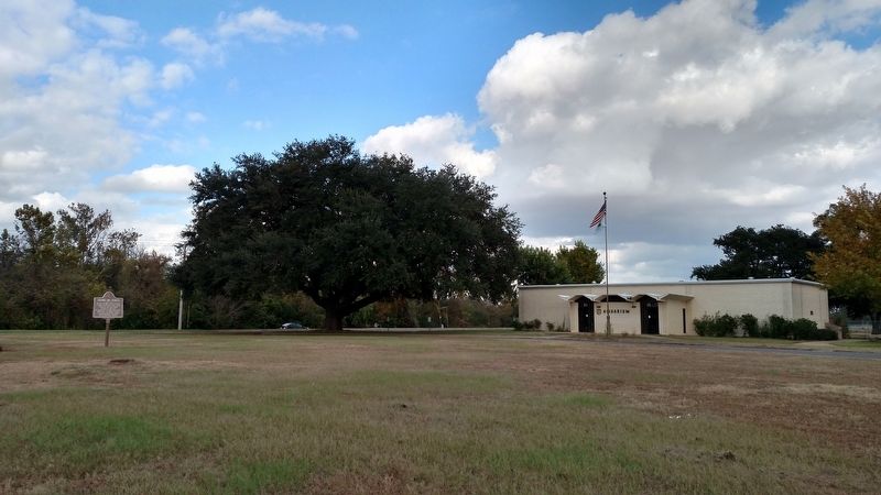
Location. 31° 44.36′ N, 93° 4.894′ W. Marker is in Natchitoches, Louisiana, in Natchitoches Parish. It can be reached from Benjie Colvin Road. Located in front of the Natchitoches National Fish Hatchery. Touch for map. Marker is at or near this postal address: 615 South Drive, Natchitoches LA 71457, United States of America. Touch for directions.

Regionally, this marker is in Central Louisiana. It is also in the American South, specifically in the Deep South, and in the Piney Woods. Globally, it is in North America, a Gulf of Mexico state, the Western Hemisphere, the Western World, and the Anglosphere. Historically, it finds itself in what was once
this page online
Other nearby markers. At least 8 other markers are within one mile of this marker, measured as the crow flies: Caddo Nation (within shouting distance of this marker); Sacred Ground (within shouting distance of this marker); The Freedom Tree (approx. 0.8 miles away); The Jefferson Highway (approx. 0.9 miles away); Jefferson Street Park (approx. one mile away); Colonial Gateway Corral (approx. one mile away); Isabella's Ghost (approx. one mile away); Old Normal Hill (approx. 1.1 miles away). Touch for a list and map of all markers in Natchitoches.
Also see . . . Henri de Tonti at FindAGrave.com. (Submitted on November 8, 2017, by Mike Wintermantel of Pittsburgh, Pennsylvania.)
Photographed by Mike Wintermantel, November 5, 2017
2. Henri de Tonti Marker
Credits. This page was last revised on November 8, 2017. It was originally submitted on November 8, 2017, by Mike Wintermantel of Pittsburgh, Pennsylvania. This page has been viewed 1,177 times since then and 104 times this year. Photos: 1, 2. submitted on November 8, 2017, by Mike Wintermantel of Pittsburgh, Pennsylvania.
