Near Ringgold in Bienville Parish, Louisiana — The American South (West South Central)
Loggy Bayou-Red River
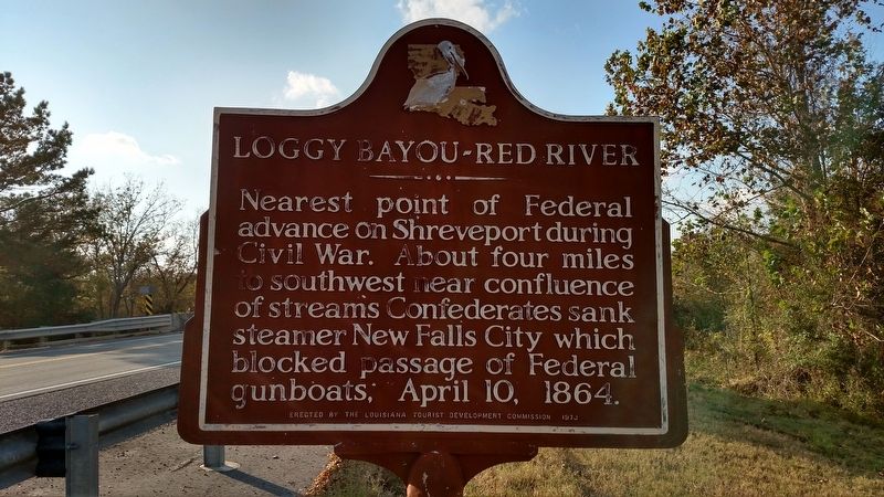
Photographed by Mike Wintermantel, November 5, 2017
1. Loggy Bayou-Red River Marker
Erected 1973 by The Louisiana Tourist Development Commission.
Topics. This historical marker is listed in these topic lists: War, US Civil • Waterways & Vessels. A significant historical date for this entry is April 10, 1864.
Location. 32° 14.209′ N, 93° 25.555′ W. Marker is near Ringgold, Louisiana, in Bienville Parish. It is on U.S. 71 0.2 miles north of State Highway 4, on the right when traveling north. Touch for map. Marker is in this post office area: Ringgold LA 71068, United States of America. Touch for directions.

Regionally, this marker is in North Louisiana. It is also in the American South, specifically in the Deep South, and in the Piney Woods. Globally, it is in North America, a Gulf of Mexico state, the Western Hemisphere, the Western World, and the Anglosphere. Historically, it finds itself in what was once the territory of the Mississippian Culture, the Louisiana Purchase,
this page online
Other nearby markers. At least 7 other markers are within 18 miles of this marker, measured as the crow flies: Ashpoint Plantation (approx. 13.4 miles away); The Arrest of Isaac Williams and his Men (approx. 14.1 miles away); Lake Bistineau (approx. 14.3 miles away); Rock Chapel (approx. 14½ miles away); Church of the Holy Apostles (approx. 14.8 miles away); Paul Boüet Laffitte (approx. 14.8 miles away); Homeplace of Baylus Benjamin (B.B.) McKinney (approx. 17.4 miles away).
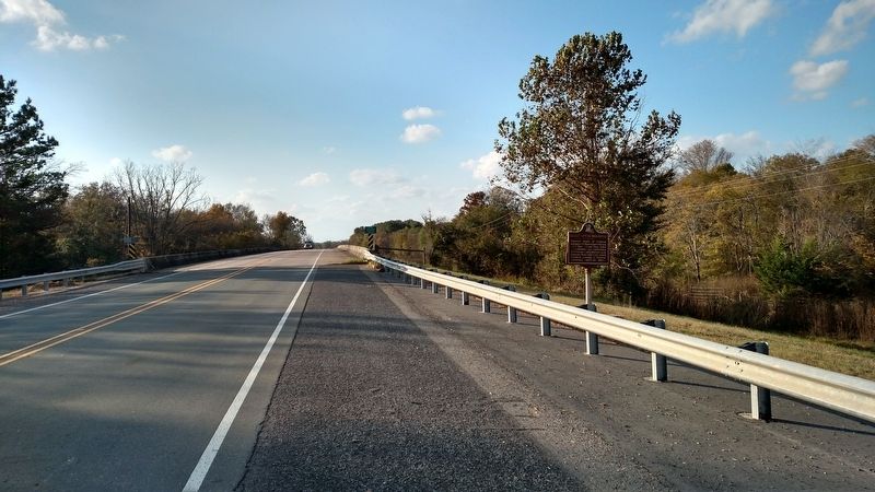
Photographed by Mike Wintermantel, November 5, 2017
2. Loggy Bayou-Red River Marker
Credits. This page was last revised on November 8, 2017. It was originally submitted on November 8, 2017, by Mike Wintermantel of Pittsburgh, Pennsylvania. This page has been viewed 925 times since then and 64 times this year. Photos: 1, 2. submitted on November 8, 2017, by Mike Wintermantel of Pittsburgh, Pennsylvania.
