Near Stanley in Custer County, Idaho — The American West (Mountains)
Sunbeam Dam
Photographed by Barry Swackhamer, June 25, 2017
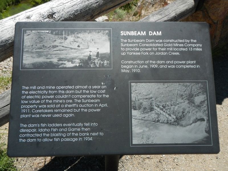
1. Sunbeam Dam Marker
The Sunbeam Dam was constructed by the Sunbeam Consolidated Gold Mines Company to provide power for their mill located 13 miles up Yankee Fork on Jordan Creek.
Construction of the dam and power plant began in June, 1909, and was completed in May, 1910.
The mill and mine operated almost a year on the electricity from his dam but the low cost of electric power couldn't compensate for the low value of the mine's ore. The Sunbeam property was sold at a sheriff's auction in April, 1911. Caretakers remained but the power plant was never used again.
The dam's fish ladder eventually fell into disrepair. Idaho Fish and game then contracted the blasting of the bank next to the dam to allow fish passage in 1934.
Erected by Forest Service, U.S. Department of Agriculture.
Topics. This historical marker is listed in these topic lists: Charity & Public Work • Industry & Commerce • Waterways & Vessels. A significant historical year for this entry is 1910.
Location. 44° 16.248′ N, 114° 44.13′ W. Marker is near Stanley, Idaho, in Custer County. It can be reached from the intersection of State Highway 75 and Yankee
this page online

Regionally, this marker is in Central Idaho — Sawtooth Range. It is also in the American Mountain West. Globally, it is in North America, the Rocky Mountains, the Western Hemisphere, the Western World, and the Anglosphere.
Other nearby markers. At least 8 other markers are within 7 miles of this marker, measured as the crow flies: River Recreation (a few steps from this marker); In the Early Days (within shouting distance of this marker); Sunbeam Bathhouse (approx. 0.7 miles away); Of Cabins and Chicken Ranches (approx. 0.7 miles away); The Boiling Fountain (approx. 0.7 miles away); Building the Dredge (approx. 2½ miles away); Remnants of the Past (approx. 5 miles away); Bonanza City (approx. 7 miles away). Touch for a list and map of all markers in Stanley.
Photographed by Barry Swackhamer, June 25, 2017
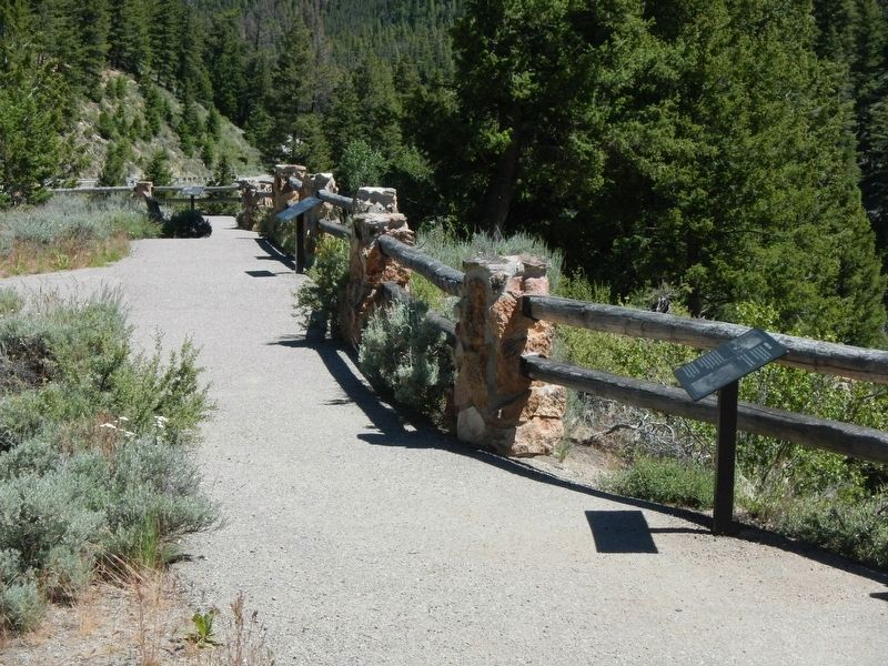
2. Sunbeam Dam Marker
The Sunbeam Dam marker is the second, more distant marker.
Photographed by Barry Swackhamer, June 25, 2017
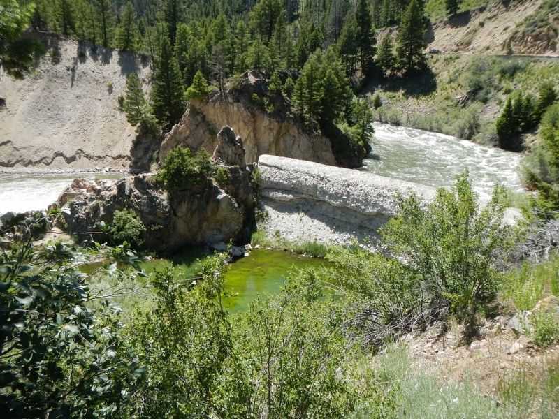
3. Sunbeam Dam
Photographed by Barry Swackhamer, June 25, 2017
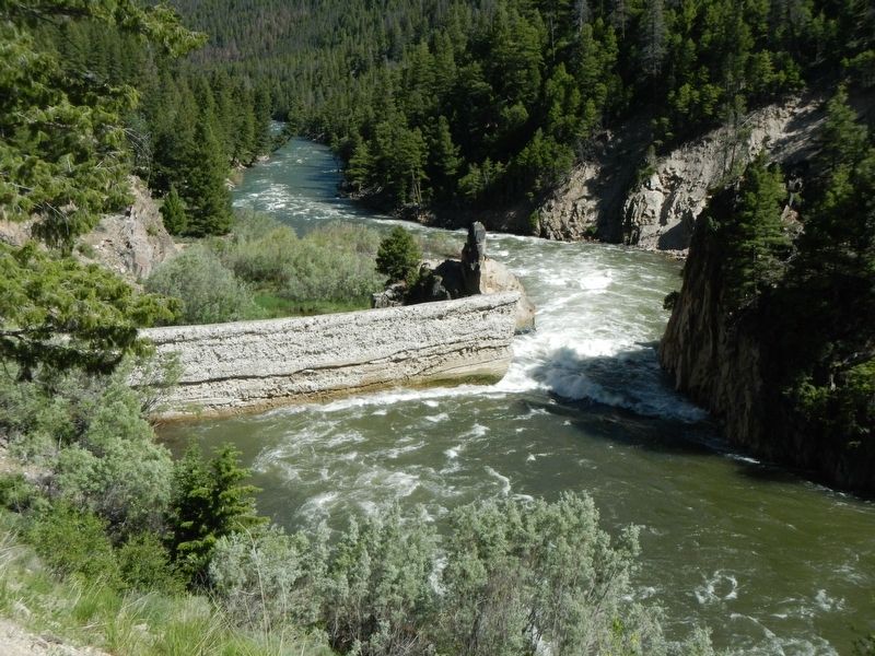
4. Sunbeam Dam
Note the channel opening on the right.
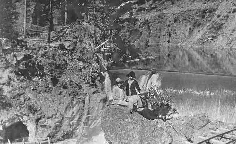
Photographed by U.S. Forest Service
5. Sunbeam Dam before demolition
Credits. This page was last revised on October 21, 2020. It was originally submitted on November 13, 2017, by Barry Swackhamer of Brentwood, California. This page has been viewed 1,375 times since then and 113 times this year. Photos: 1, 2, 3, 4, 5. submitted on November 13, 2017, by Barry Swackhamer of Brentwood, California.
