Near Stanley in Custer County, Idaho — The American West (Mountains)
In the Early Days
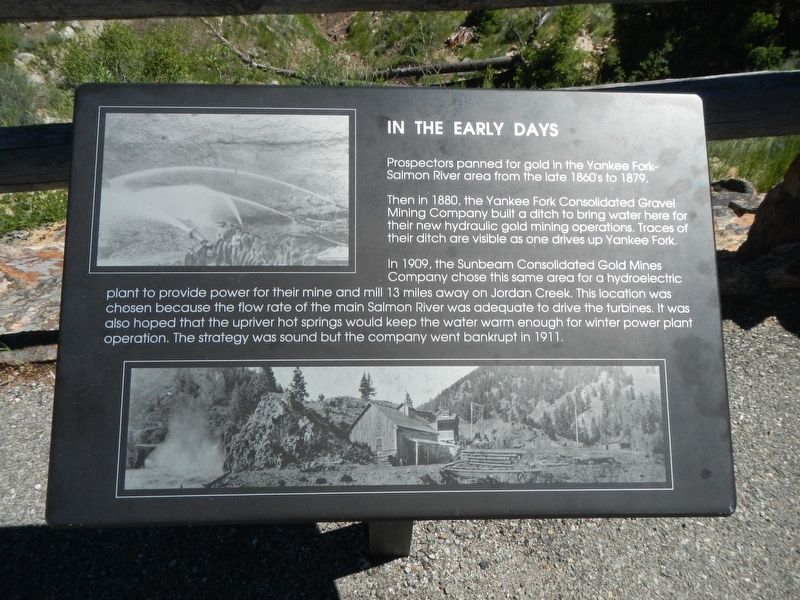
Prospectors panned for gold in the Yankee Fork-Salmon River area from the late 1860's to 1879.
Then in 1880 the Yankee Fork Consolidated Gravel Mining Company built a ditch to bring water here for their new hydraulic gold mining operations. Traces of their ditch are visible as one drives up Yankee Fork.
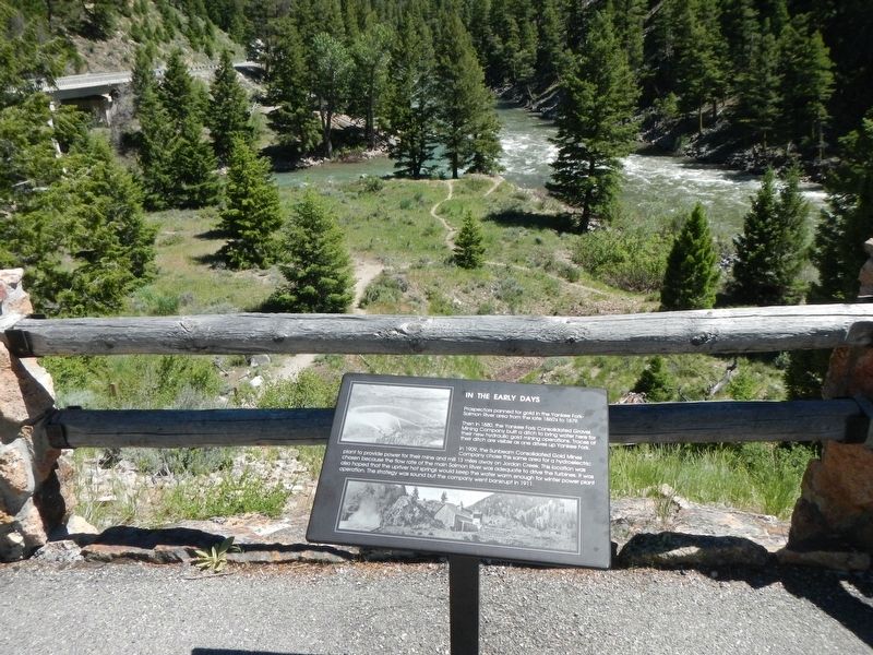
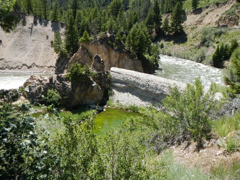
In 1909, the Sunbeam Consolidated Gold Mines Company chose this same area for a hydroelectric plant to provide power for their mine and mill 13 miles away on Jordan Creek. This location was chosen because the flow rate of the main Salmon River was adequate to drive the turbines. It was also hoped that the upriver hot springs would keep the water warm enough for winter power operation. The strategy was sound but the company went bankrupt in 1911.
Erected by U.S. Forest Service.
Topics. This historical marker is listed in these topic lists: Industry & Commerce • Settlements & Settlers • Waterways & Vessels. A significant historical year for this entry is 1909.
Location. 44° 16.236′ N, 114° 44.106′ W. Marker is near Stanley, Idaho, in Custer County. Marker can be reached from the intersection of State Highway 75 and Yankee Fork Road, on the left when traveling west. Touch for map. Marker is in this post office area: Stanley ID 83278, United States of America. Touch for directions.
Other nearby markers. At least 8 other markers are within 7 miles of this marker, measured as the crow flies. River Recreation (within shouting distance of this marker); Sunbeam Dam (within shouting distance of this marker); Sunbeam Bathhouse (approx. 0.7 miles away); Of Cabins and Chicken Ranches (approx. 0.7 miles away); The Boiling Fountain (approx. ¾ mile away); Building the Dredge (approx. 2½ miles away); Remnants of the Past (approx. 5 miles away); Bonanza City (approx. 7.1 miles away). Touch for a list and map of all markers in Stanley.
Credits. This page was last revised on August 25, 2020. It was originally submitted on November 13, 2017, by Barry Swackhamer of Brentwood, California. This page has been viewed 208 times since then and 5 times this year. Photos: 1, 2, 3. submitted on November 13, 2017, by Barry Swackhamer of Brentwood, California.


