Near Bellevue in Blaine County, Idaho — The American West (Mountains)
Magic Reservoir
Photographed by Barry Swackhamer, June 26, 2017
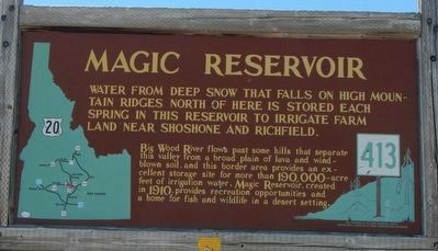
1. Magic Reservoir Marker
Water from deep snow that falls on high mountain ridges north of here is stored each Spring in this reservoir to irrigate farm land near Shoshone and Richfield.
Big Wood River flows past some hills that separate this valley from a broad plain of lava and windblown soil, and this border area provides an excellent storage site for more than 190,000-acre feet of irrigation water. Magic Reservoir, created in 1910, provides recreation opportunities and a home for fish and wildlife in a desert settings.
Erected by Idaho Department of Transportation. (Marker Number 413.)
Topics and series. This historical marker is listed in this topic list: Waterways & Vessels. In addition, it is included in the Idaho State Historical Society series list. A significant historical year for this entry is 1910.
Location. 43° 20.298′ N, 114° 26.058′ W. Marker is near Bellevue, Idaho, in Blaine County. It is on U.S. 20 at milepost 170 near Rock Creek Road, on the left when traveling west. Touch for map. Marker is in this post office area: Bellevue ID 83313, United States of America. Touch for directions.

Regionally, this marker is in Central
this page online
Other nearby markers. At least 8 other markers are within 14 miles of this marker, measured as the crow flies: Timmerman Junction Oregon Trail Kiosk (approx. 7.8 miles away); Magic Dam (approx. 12.3 miles away); Wood River Mines (approx. 12.8 miles away); Rialto Hotel (approx. 13.8 miles away); J.C. Fox Building (approx. 13.9 miles away); J.J. Tracy Building (approx. 13.9 miles away); Bullion Block Site/Werthheimer Building (approx. 13.9 miles away); W.H. Watt Building (approx. 13.9 miles away). Touch for a list and map of all markers in Bellevue.
Photographed by Barry Swackhamer, June 26, 2017
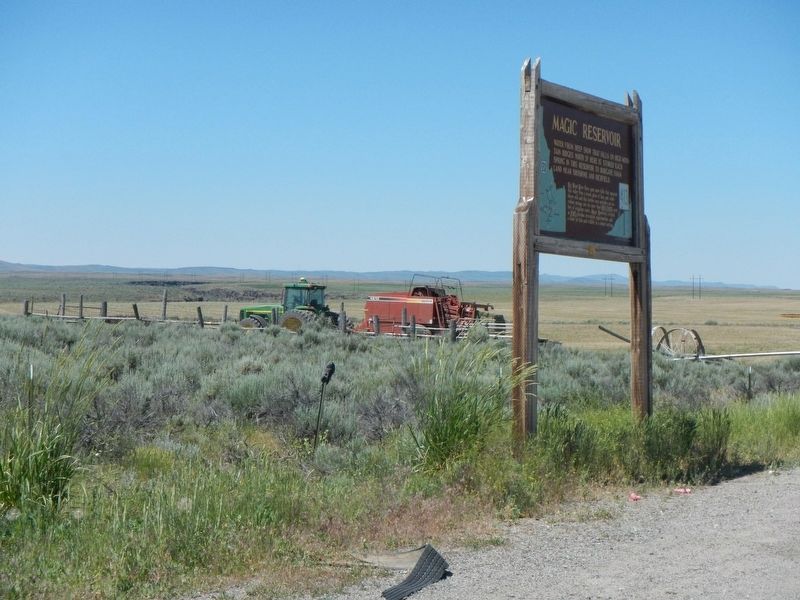
2. Magic Reservoir Marker
Credits. This page was last revised on December 28, 2024. It was originally submitted on November 15, 2017, by Barry Swackhamer of Brentwood, California. This page has been viewed 2,144 times since then and 75 times this year. Photos: 1, 2. submitted on November 15, 2017, by Barry Swackhamer of Brentwood, California.
