Near Mountain Home in Elmore County, Idaho — The American West (Mountains)
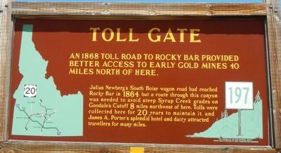
Toll Gate
Photographed by Barry Swackhamer, June 26, 2017
1. Toll Gate Marker
An 1868 Toll Road to Rocky Bar provided better access to early gold mines 40 miles north of here.
Julius Newberg's South Boise wagon road had reached Rocky Bar in 1864, but a route through this canyon was needed to avoid steep Syrup Creek grades on Goodale's Cutoff 8 miles north west of here. Tolls were collected here for 20 years to maintain it, and James A. Porter's splendid hotel and dairy attracted travelers for many miles.
Erected by Idaho Department of Transportation. (Marker Number 197.)
Topics and series. This historical marker is listed in this topic list: Roads & Vehicles. In addition, it is included in the Idaho State Historical Society series list. A significant historical year for this entry is 1868.
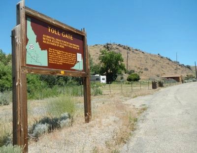
Location. 43° 15.054′ N, 115° 34.758′ W. Marker is near Mountain Home, Idaho, in Elmore County. It is on Sun Valley Highway (U.S. 20 at milepost 107) near Immigrant Road, on the right when traveling west. Touch for map. Marker is in this post office area: Mountain Home ID 83647, United States of America. Touch for directions.

Regionally, this marker is on Idaho’s Snake River Plain, in Greater
this page online
Other nearby markers. At least 8 other markers are within 9 miles of this marker, measured as the crow flies: Site 6 ★ Kelton Road (approx. 2.8 miles away); Oregon Trail 1864 (approx. 3.8 miles away); Site 7 ★ Canyon Creek (approx. 6.3 miles away); Canyon Creek Station (approx. 6.3 miles away); Site 4 ★ Hot Springs (approx. 7.3 miles away); Rattlesnake Station (approx. 8.2 miles away); Site 5 ★ Rattlesnake Creek (approx. 8.2 miles away); Mountain Home Irrigation District (approx. 8.9 miles away). Touch for a list and map of all markers in Mountain Home.
Photographed by Barry Swackhamer, June 26, 2017
2. Toll Gate Marker
Credits. This page was last revised on December 28, 2024. It was originally submitted on November 16, 2017, by Barry Swackhamer of Brentwood, California. This page has been viewed 5,054 times since then and 421 times this year. Photos: 1, 2. submitted on November 16, 2017, by Barry Swackhamer of Brentwood, California.
