Southfield City Centre in Oakland County, Michigan — The American Midwest (Great Lakes)
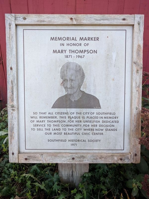
Memorial Marker
In honor of Mary Thompson
— 1871 - 1967 —
Erected 1971 by Southfield Historical Society.
Topics. This historical marker is listed in these topic lists: Charity & Public Work • Women.
Location. 42° 28.681′ N, 83° 14.416′ W. Marker is in Southfield, Michigan, in Oakland County. It is in Southfield City Centre. Marker can be reached from the intersection of Evergreen Road and Boardwalk Boulevard, on the right when traveling north. Touch for map. Marker is at or near this postal address: 25630 Evergreen Road, Southfield MI 48076, United States of America. Touch for directions.
Other nearby markers. At least 8 other markers are within one mile of this marker, measured as the crow flies. Mary Thompson House (within shouting distance of this marker); Mary Thompson Farm (within shouting distance of this marker); The Covenanter Church / The Underground Railroad (approx. 0.4 miles away); Lawrence Institute of Technology (approx. half a mile away); Henry Ford (approx. half a mile away); Presbyterian Church (approx. 0.9 miles away); Southfield United Presbyterian Church (approx. 0.9 miles away); Pioneer Cemetery (approx. 1.1 miles away). Touch for a list and map of all markers in Southfield.
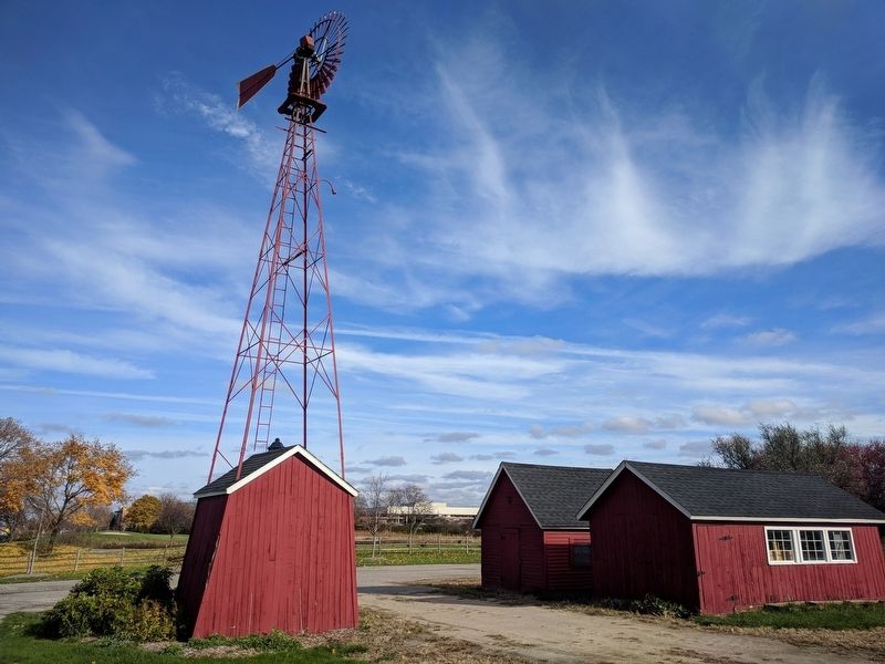
More about this marker. Marker can be seen from the parking lot, which is on the north side of the farm house.
Credits. This page was last revised on February 12, 2023. It was originally submitted on November 18, 2017, by Joel Seewald of Madison Heights, Michigan. This page has been viewed 149 times since then and 15 times this year. Photos: 1, 2. submitted on November 18, 2017, by Joel Seewald of Madison Heights, Michigan.

