Near Kooskia in Idaho County, Idaho — The American West (Mountains)
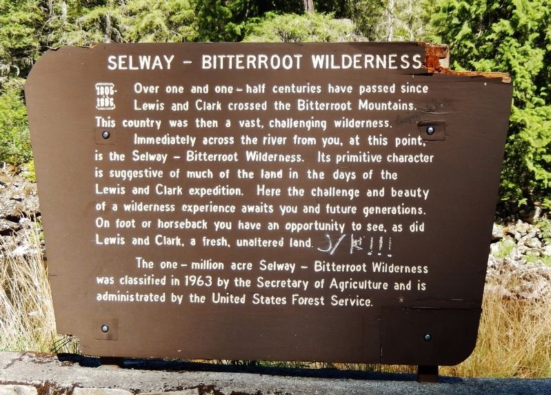
Selway - Bitterroot Wilderness
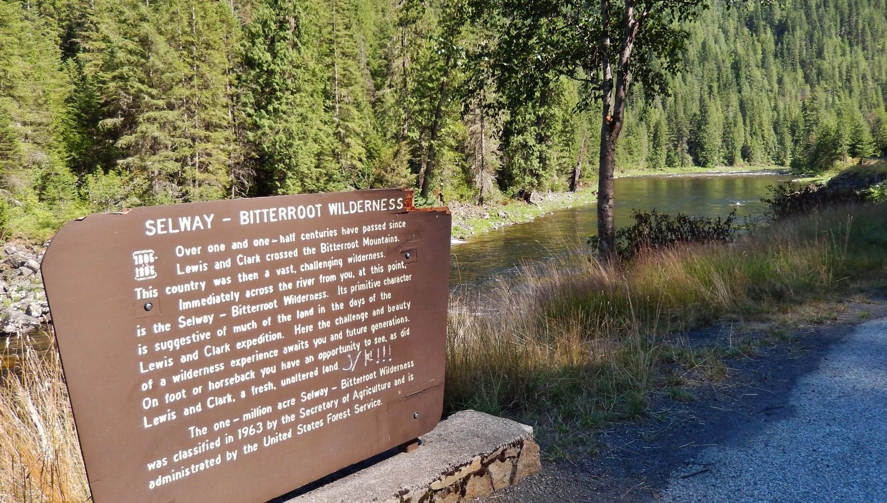
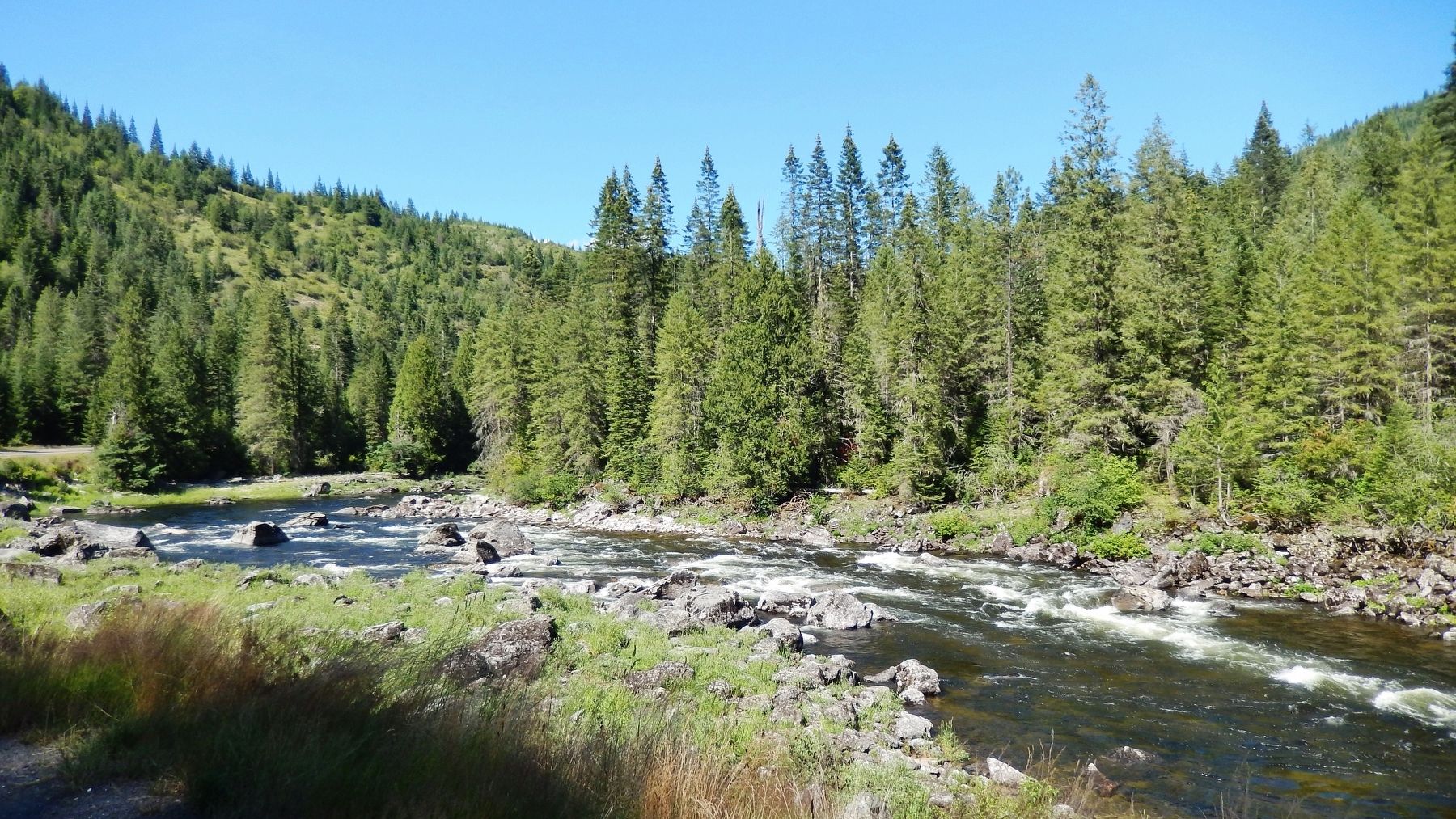
Immediately across the river from you, at this point, is the Selway – Bitterroot Wilderness. Its primitive character is suggestive of much of the land in the days of the Lewis and Clark expedition. Here the challenge and beauty of a wilderness experience awaits you and future generations. On foot or horseback you have an opportunity to see, as did Lewis and Clark, a fresh, unaltered land.
The one-million acre Selway – Bitterroot Wilderness was classified in 1963 by the Secretary of Agriculture and is administrated by the United States Forest Service.
Erected by U.S. Forest Service - Clearwater National Forest.
Topics and series. This historical marker is listed in these topic lists: Environment • Exploration. In addition, it is included in the Lewis & Clark Expedition series list.
Location. 46° 18.379′ N, 115° 22.318′ W. Marker is near Kooskia, Idaho, in Idaho County. Marker is on U.S. 12, 27.7 miles east of Mill Road, on the right when traveling east. Marker is located in pull-out on east side of highway, overlooking the Lochsa River. Touch for map. Marker is in this post office area: Kooskia ID 83539, United States of America. Touch for directions.
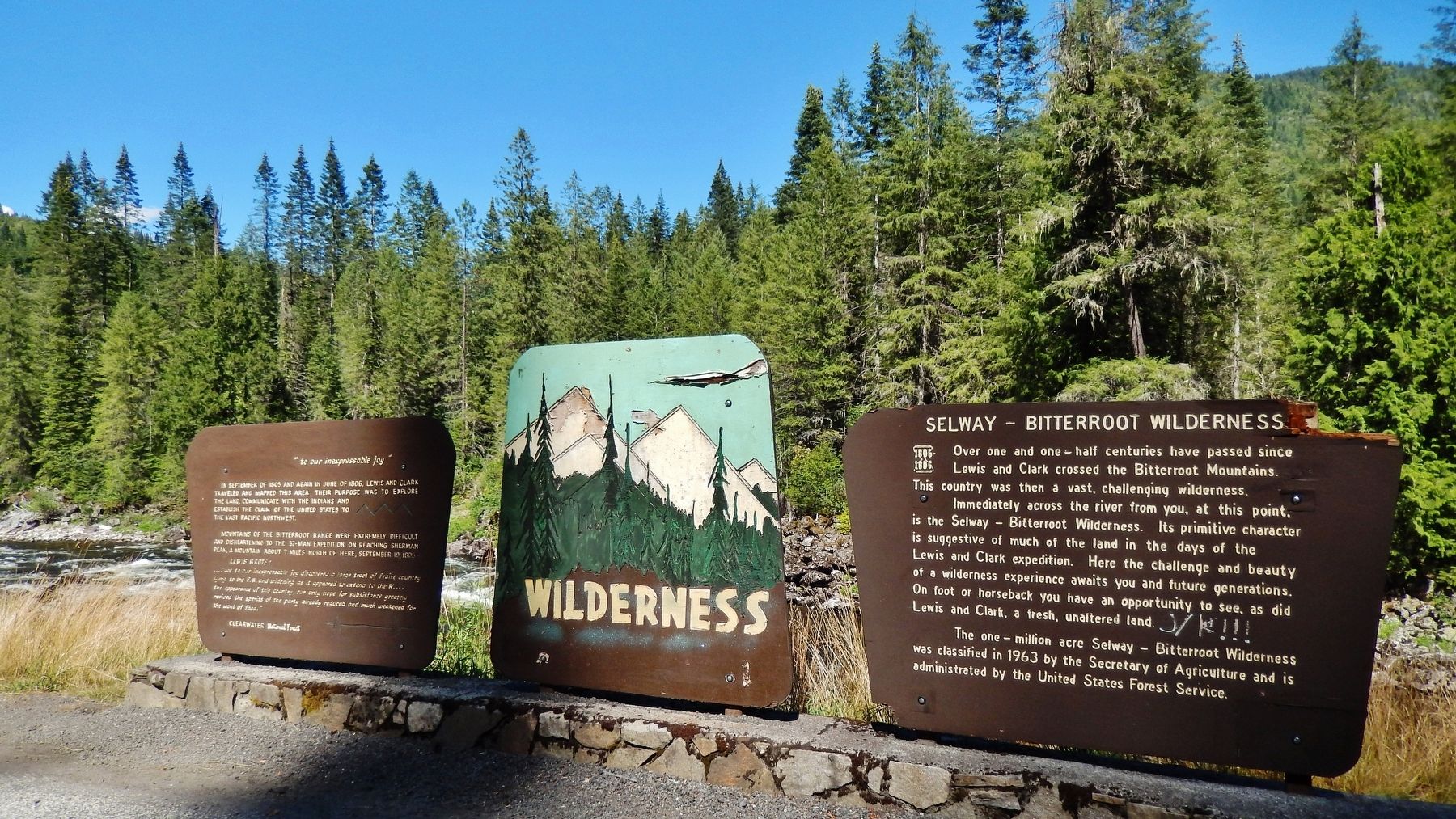
Other nearby markers. At least 4 other markers are within 12 miles of this marker, measured as the crow flies. "to our inexpressable joy" (a few steps from this marker); The Lolo Trail (approx. 3 miles away); Gass Creek (approx. 11.8 miles away); Green Swoard Camp (approx. 11.8 miles away).
More about this marker. Large wooden marker in fair condition
Credits. This page was last revised on November 21, 2017. It was originally submitted on November 20, 2017, by Cosmos Mariner of Cape Canaveral, Florida. This page has been viewed 343 times since then and 22 times this year. Photos: 1, 2, 3, 4. submitted on November 20, 2017, by Cosmos Mariner of Cape Canaveral, Florida. • Bill Pfingsten was the editor who published this page.


