Pineville in Rapides Parish, Louisiana — The American South (West South Central)
Mount Olivet Chapel
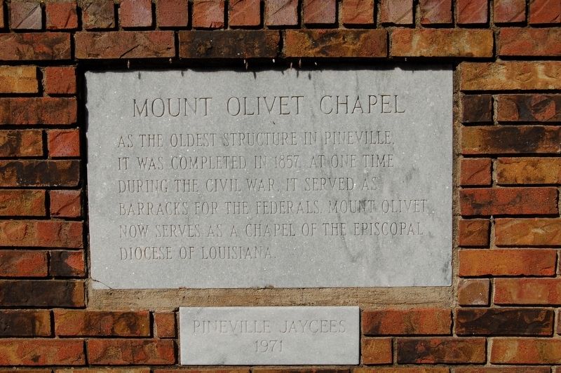
Photographed by Cajun Scrambler, November 24, 2017
1. Mount Olivet Chapel Marker
Oldest Structure in Pineville. It was completed in 1857. At one time during the Civil War, it served as barracks for the Federals. Mount Olivet now serves as a chapel of the Episcopal Diocese of Louisiana.
Erected 1971 by Pineville Jaycees.
Topics. This historical marker is listed in these topic lists: Religion & Religious Structures • War, US Civil.
Location. 31° 19.065′ N, 92° 26.343′ W. Marker is in Pineville, Louisiana, in Rapides Parish. It can be reached from Main Street (Business U.S. 165) south of Ball Street, on the right when traveling south. Touch for map. Marker is at or near this postal address: 335 Main Street, Pineville LA 71360, United States of America. Touch for directions.

Regionally, this marker is in Central Louisiana and in Acadiana — Cajun Country. It is also in the American South and specifically in the Deep South. Globally, it is in North America, a Gulf of Mexico state, the Western Hemisphere, the Western World, and the Anglosphere. Historically, it finds itself in what was once New Spain, the Viceroyalty of New France,
this page online
Other nearby markers. At least 8 other markers are within walking distance of this marker: Mount Olivet Cemetery and Chapel (a few steps from this marker); Pineville #4 (about 400 feet away, measured in a direct line); 300 Block Main Street (about 400 feet away); The Jewish Cemetery (about 500 feet away); Red Hill (about 700 feet away); 200 Block of Main Street (about 700 feet away); Rapides Cemetery (approx. 0.2 miles away); The Foot of Red Hill (approx. 0.2 miles away). Touch for a list and map of all markers in Pineville.
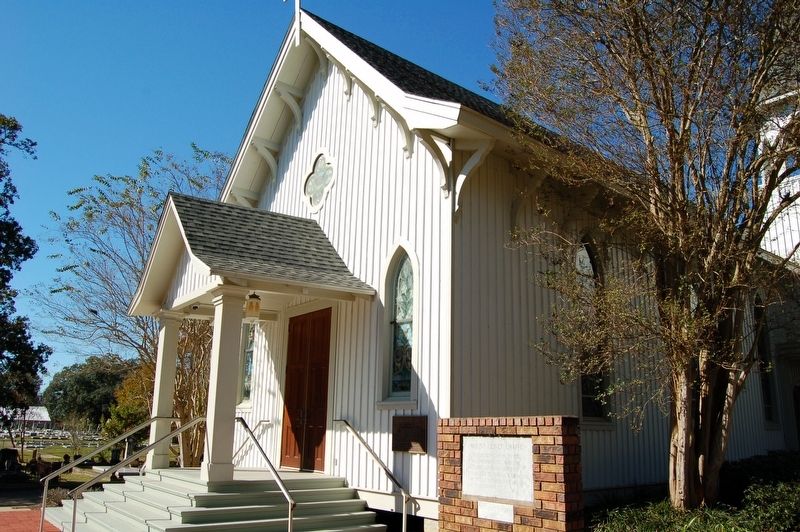
Photographed by Cajun Scrambler, November 24, 2017
2. Mount Olivet Chapel and Marker
Credits. This page was last revised on July 3, 2022. It was originally submitted on November 22, 2017, by Cajun Scrambler of Assumption, Louisiana. This page has been viewed 461 times since then and 33 times this year. Photos: 1, 2. submitted on November 25, 2017.
