Orofino in Clearwater County, Idaho — The American West (Mountains)
Ahsakha Village Site
asaqa
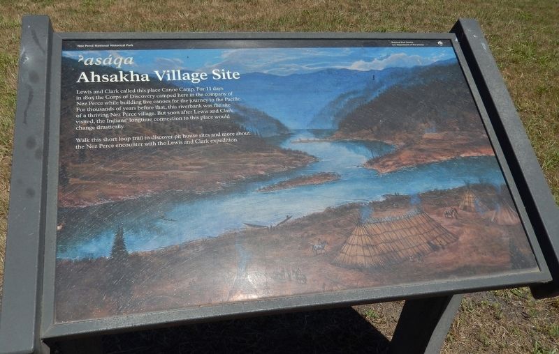
Lewis and Clark called this place Canoe Camp. For 11 days in 1805 the Corps of Discovery camped here in the company of Nez Perce while building five canoes for the journey to the Pacific. For thousands of years before that, this riverbank was the site of a thriving Nez Perce village. But soon after Lewis and Clark visited, the Indians’ longtime connection to this place would change drastically.
Walk this short loop trail to discover pit house sites and more about the Nez Perce encounter with the Lewis and Clark expedition.
Erected by Historical Park Service, U.S. Department of the Interior.
Topics and series. This historical marker is listed in these topic lists: Exploration • Native Americans. In addition, it is included in the Lewis & Clark Expedition series list. A significant historical year for this entry is 1805.
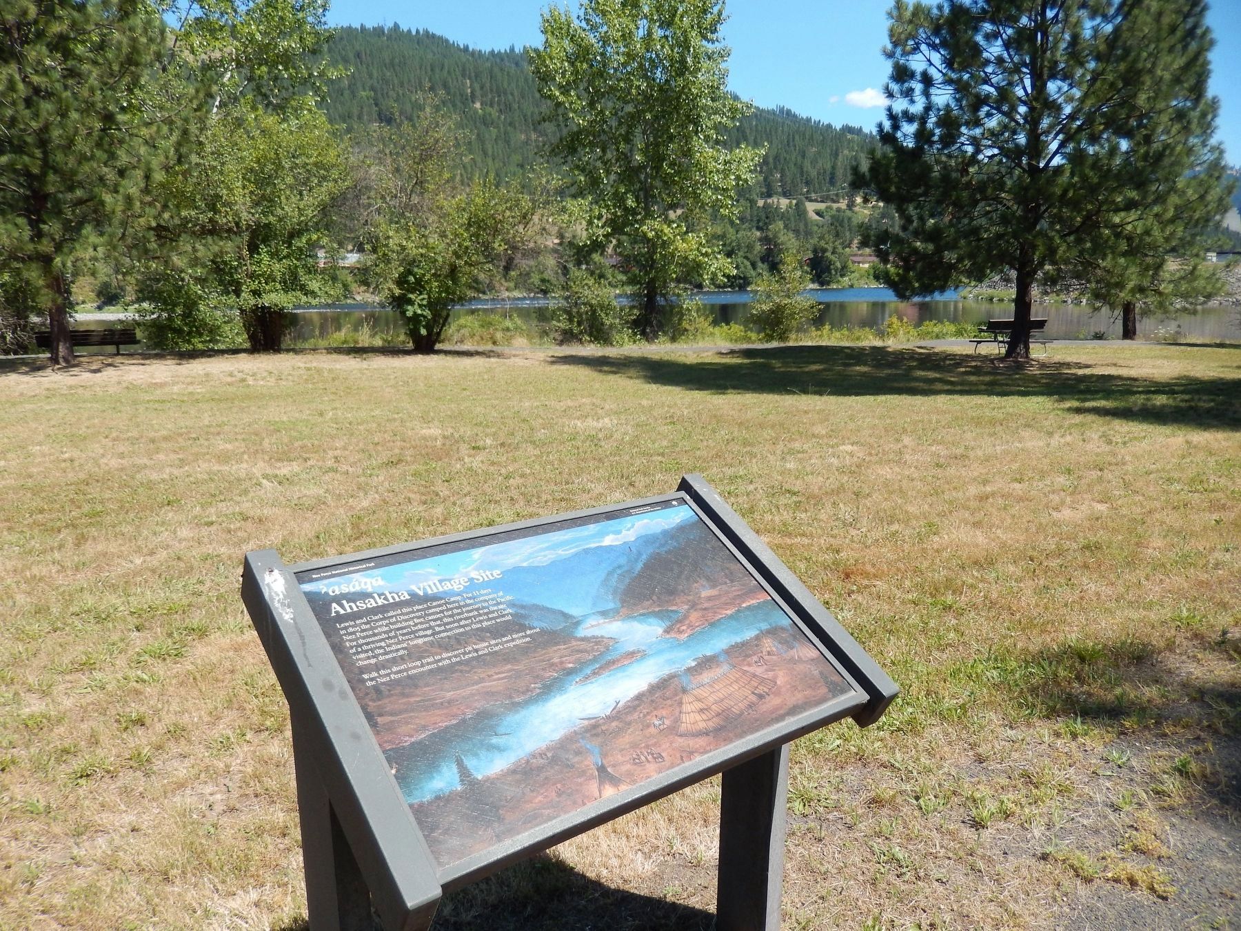
Location. 46° 30.049′ N, 116° 19.8′ W. Marker is in Orofino, Idaho, in Clearwater County. Marker can be reached from the intersection of U.S. 12 and 140th Street, on the right when traveling west. Marker is in Lewis & Clark Canoe Camp State Park, on the north side of the highway, between the highway and the Clearwater River. Touch for map. Marker is in this post office area: Orofino ID 83544, United States of America. Touch for directions.
Other nearby markers. At least 8 other markers are within walking distance of this marker. Canoe Building Site (within shouting distance of this marker); 1804-1806 Corps of Discovery (within shouting distance of this marker); Pit House Village (within shouting distance of this marker); Orofino: A Fine Place (about 300 feet away, measured in a direct line); Welcome to Canoe Camp (about 300 feet away); Canoe Camp (about 400 feet away); Navigating the Clearwater (approx. 0.9 miles away); Clearwater River Log Drives (approx. 0.9 miles away). Touch for a list and map of all markers in Orofino.
Also see . . .
1. Orofino History.
The Corps of Discovery moved down to the Koos-koos-kee (Clearwater River) to camp and make 5 canoes. Many of the Corps men were sick and weak from the dramatic change in the foods they ate, so they used the Indian’s methods of burning out the logs to save energy and time. Five canoes were made and the expedition left this area (Orofino) on Oct. 7, 1805 on their way to the Pacific Ocean. (Submitted on November 23, 2017, by Cosmos Mariner of Cape Canaveral, Florida.)
2. Dworshak Dam Historical Pictures.
A digital collection comprised of historical photographs and documents pertaining to the history of the Dworshak Dam, selected primarily from the collection of A. B. Curtis, former mayor of Orofino, Idaho. (Submitted on November 23, 2017, by Cosmos Mariner of Cape Canaveral, Florida.)
Photographed By Cosmos Mariner, July 14, 2016
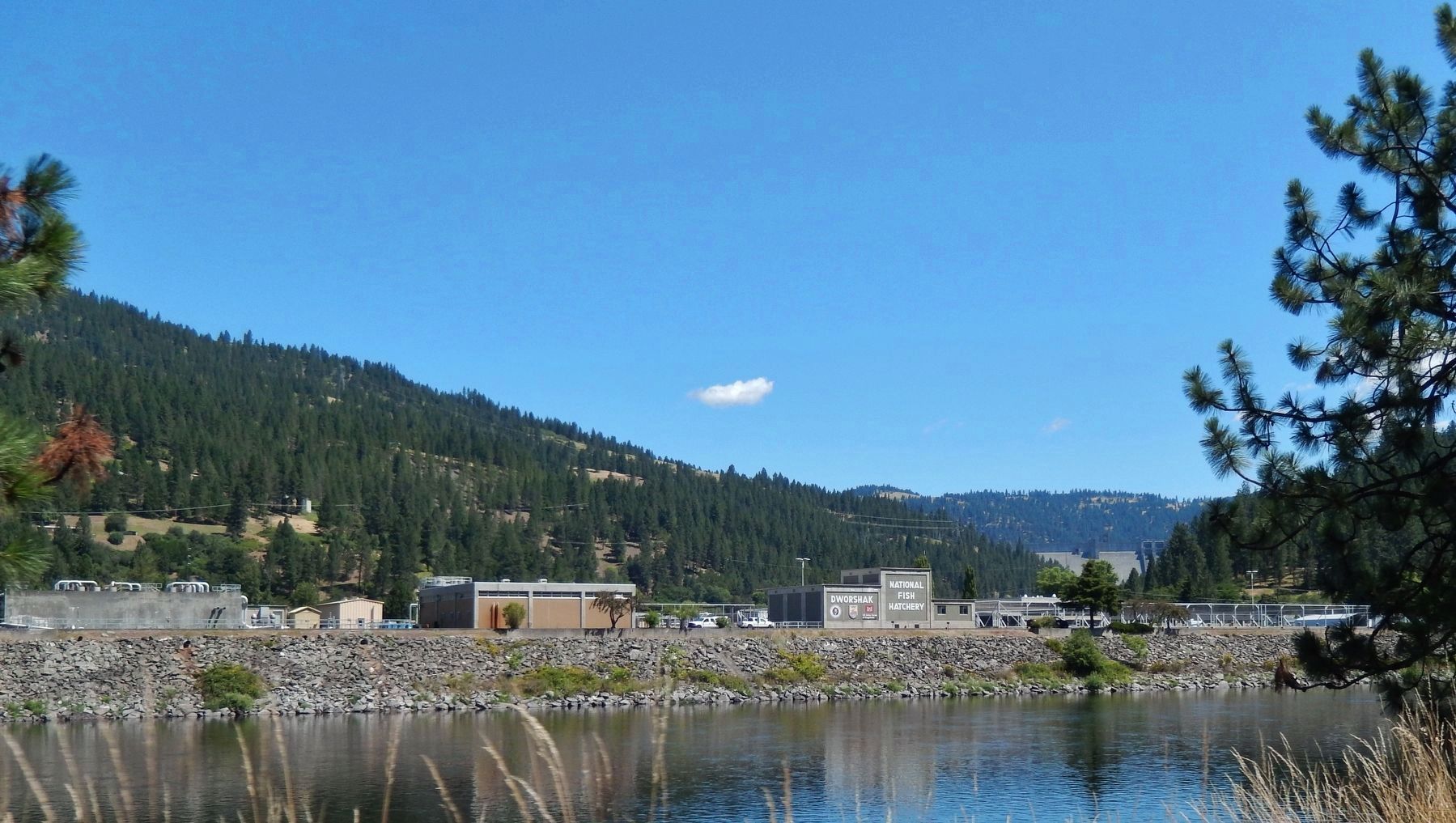
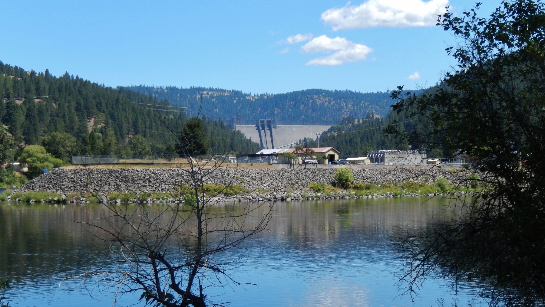
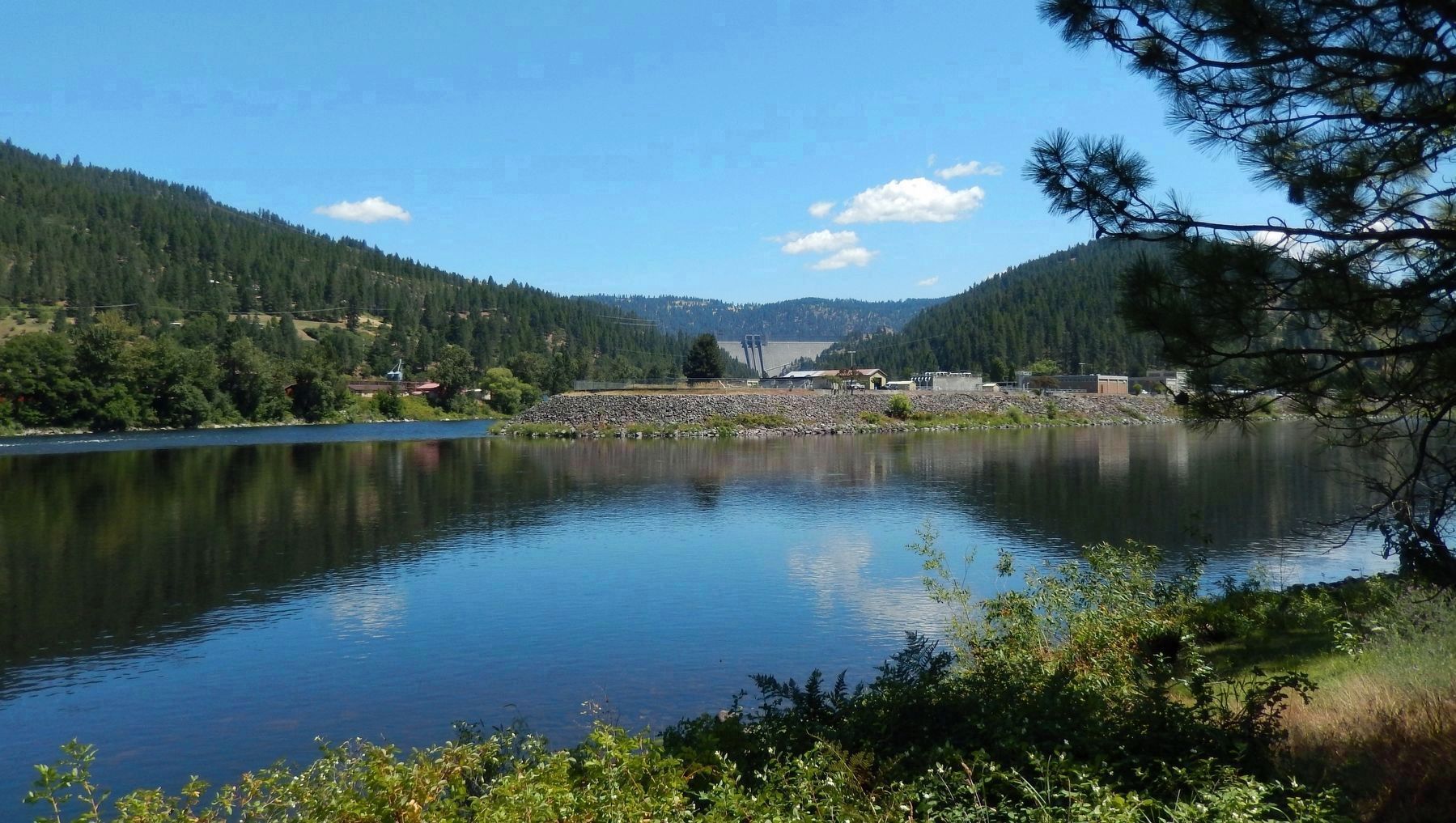
5. Clearwater River and Dworshak Dam (view beyond marker)
Marker illustration shows confluence of North Fork-Clearwater River and main Clearwater River as it might have looked in 1805. This picture shows current view with the North Fork-Clearwater River trapped by Dworshak Dam, forming Dworshak Reservoir
Credits. This page was last revised on October 21, 2020. It was originally submitted on November 23, 2017, by Cosmos Mariner of Cape Canaveral, Florida. This page has been viewed 334 times since then and 28 times this year. Photos: 1. submitted on November 23, 2017, by Cosmos Mariner of Cape Canaveral, Florida. 2. submitted on August 9, 2018, by Barry Swackhamer of Brentwood, California. 3, 4, 5, 6. submitted on November 23, 2017, by Cosmos Mariner of Cape Canaveral, Florida. • Bill Pfingsten was the editor who published this page.
