Near Kirkwood in Alpine County, California — The American West (Pacific Coastal)
Caples Lake
Photographed by Andrew Ruppenstein, August 22, 2008
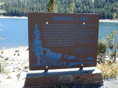
1. Caples Lake Marker
In 1849 Dr. James Caples passed through here on his way to California’s gold country.
After a brief stay in Old Hangtown (Placerville) Caples remembered the lake and returned here with his family to establish a way station that served weary travelers for thirty years.
The lake known variously as Summit Lake, Clear Lake, and Twin Lakes, is two miles long and has a surface area of 600 acres.
Dedicated by the Historical Society of Alpine County.
Erected by Historical Society of Alpine County.
Topics. This historical marker is listed in these topic lists: Landmarks • Natural Features • Settlements & Settlers. A significant historical year for this entry is 1849.
Location. 38° 42.204′ N, 120° 3.305′ W. Marker is near Kirkwood, California, in Alpine County. It is on Carson Pass Highway (State Highway 88), on the right when traveling east. Touch for map. Marker is in this post office area: Kirkwood CA 95646, United States of America. Touch for directions.

Regionally, this marker is in the Sierra Nevada. It is also in the American Mountain West. Globally, it is in North America, on the Pacific Rim,
this page online
Other nearby markers. At least 8 other markers are within 4 miles of this marker, measured as the crow flies: Summer Retreat (approx. 0.6 miles away); Kirkwood's (approx. 0.9 miles away); Naming of Carson Pass (approx. 3.7 miles away); Snowshoe Thom(p)son (approx. 3.7 miles away); Kit Carson (approx. 3.7 miles away); Memorial to Pioneer Odd Fellows (approx. 3.7 miles away); Carson Trail - Ascent to Carson Pass (approx. 3.7 miles away); First Summit (approx. 3.8 miles away). Touch for a list and map of all markers in Kirkwood.
Another marker is no longer nearby. Old Emigrant Road (was approx. one mile away but has been confirmed missing).
Regarding Caples Lake. Born in Ohio in 1823, James Caples migrated from Missouri with his wife to California by wagon in 1849. After a short period as a storekeeper in Placerville selling provisions to miners, he and his family settled on a 4,000 acre ranch that included the area covered by Caples Lake. The waystation
Photographed by Alvis Hendley, October 22, 2022
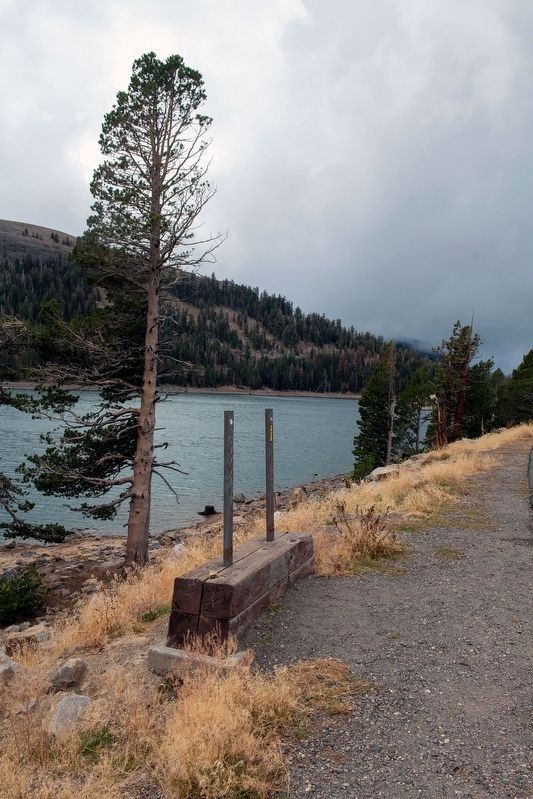
2. Caples Lake marker was missing when we visited the lake in October of 2022.
Prior to damming, much of the area covered by the lake was a meadow. The Emigrant Trail ran through this meadow a short ways east of this marker.
Also see . . . James Caples. Find A Grave website entry (Submitted on January 29, 2022, by Larry Gertner of New York, New York.)
Photographed by Andrew Ruppenstein, August 22, 2008
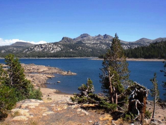
3. View of Caples Lake from Marker
Here the water level in the lake is somewhat lower than normal, as in August 2008 the El Dorado Irrigation District (owner of the lake) was in the process of lowering the lake in order to repair some of the dam-related infrastructure. Close inspection of the picture just above the lower waterline reveals a number of tree stumps, indicating the historical forestation prior to damming.
Photographed by Alvis Hendley, October 22, 2022
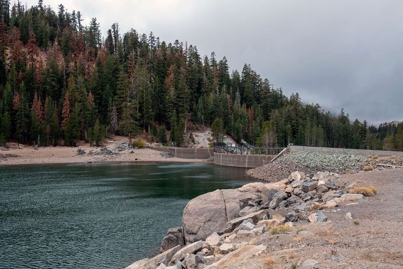
4. Caples Lake dam.
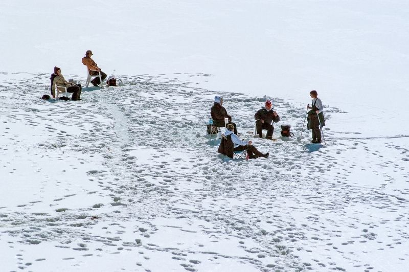
Photographed by Alvis Hendley, February 16, 2007
5. Ice fishing on frozen Caples Lake
Credits. This page was last revised on November 30, 2022. It was originally submitted on September 4, 2008, by Andrew Ruppenstein of Lamorinda, California. This page has been viewed 5,153 times since then and 90 times this year. Photos: 1. submitted on September 4, 2008, by Andrew Ruppenstein of Lamorinda, California. 2. submitted on October 27, 2022, by Alvis Hendley of San Francisco, California. 3. submitted on September 4, 2008, by Andrew Ruppenstein of Lamorinda, California. 4, 5. submitted on October 27, 2022, by Alvis Hendley of San Francisco, California. • Kevin W. was the editor who published this page.
