Near Fredericksburg in Spotsylvania County, Virginia — The American South (Mid-Atlantic)
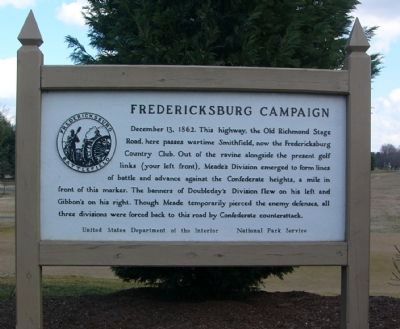
Fredericksburg Campaign
Erected by United States Department of the Interior, National Park Service.
Topics. This historical marker is listed in this topic list: War, US Civil. A significant historical date for this entry is December 13, 1732.
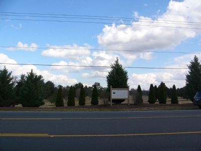
Location. Marker has been reported permanently removed. It was located near 38° 15.662′ N, 77° 26.064′ W. Marker was near Fredericksburg, Virginia, in Spotsylvania County. Marker was on Tidewater Trail (Virginia Route 2), on the right when traveling north. Touch for map. Marker was at or near this postal address: 11031 Tidewater Trail, Fredericksburg VA 22408, United States of America.
We have been informed that this sign or monument is no longer there and will not be replaced. This page is an archival view of what was.
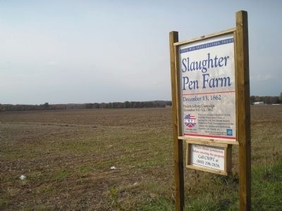
Other nearby markers. At least 8 other markers are within walking distance of this location. Colonial Fort (approx. ¼ mile away); The Slaughter Pen Farm (approx. 0.4 miles away); a different marker also named Slaughter Pen Farm (approx. 0.4 miles away); Battle of Fredericksburg (approx. 0.4 miles away); a different marker also named Battle of Fredericksburg (approx. 0.4 miles away); a different marker also named Slaughter Pen Farm (approx. half a mile away); a different marker also named Slaughter Pen Farm (approx. half a mile away); a different marker also named Slaughter Pen Farm (approx. 0.6 miles away). Touch for a list and map of all markers in Fredericksburg.
Credits. This page was last revised on February 2, 2023. It was originally submitted on February 18, 2008, by Kevin W. of Stafford, Virginia. This page has been viewed 1,223 times since then and 10 times this year. Last updated on November 23, 2017, by Shane Oliver of Richmond, Virginia. Photos: 1, 2, 3. submitted on February 18, 2008, by Kevin W. of Stafford, Virginia. 4. submitted on February 19, 2008, by Bill Coughlin of Woodland Park, New Jersey. • Bill Pfingsten was the editor who published this page.


