Wilson in Lynn County, Texas — The American South (West South Central)
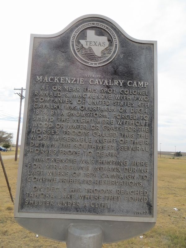
Site of Mackenzie Cavalry Camp
MacKenzie was hunting here for straggling Indians, during last weeks of 1874 campaign to confine tribes to reservations.
On Dec. 5 his troops reached Tahoka Lake, where they found shelter under a cliff.
Erected 1967. (Marker Number 4827.)
Topics. This historical marker is listed in this topic list: Wars, US Indian. A significant historical date for this entry is December 4, 1874.
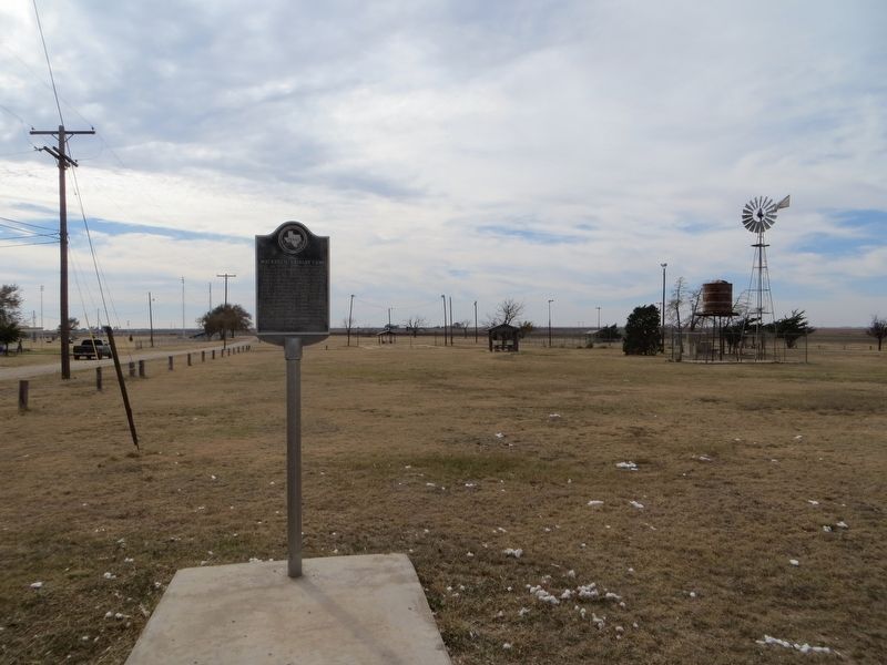
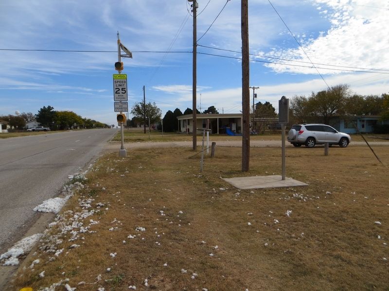
Location. 33° 19.268′ N, 101° 43.79′ W. Marker is in Wilson, Texas, in Lynn County. Marker is at the intersection of Green Avenue and 16th Street, on the right when traveling east on Green Avenue. Marker is on the southwest corner. Touch for map. Marker is in this post office area: Wilson TX 79381, United States of America. Touch for directions.
Other nearby markers. At least 8 other markers are within 10 miles of this marker, measured as the crow flies. Spanish Explorers' Route (within shouting distance of this marker); Wilson Mercantile Company (approx. 0.4 miles away); Green Memorial Park Cemetery (approx. 1.4 miles away); Lynn County (approx. 8.1 miles away); Mercy Hospital (approx. 8.9 miles away); Slaton Bakery (approx. 9.4 miles away); Slaton Volunteer Fire Department (approx. 9˝ miles away); Slaton (approx. 9˝ miles away). Touch for a list and map of all markers in Wilson.
Credits. This page was last revised on November 24, 2017. It was originally submitted on November 24, 2017, by Bill Kirchner of Tucson, Arizona. This page has been viewed 252 times since then and 16 times this year. Photos: 1, 2, 3. submitted on November 24, 2017, by Bill Kirchner of Tucson, Arizona.


